Map of Nevada
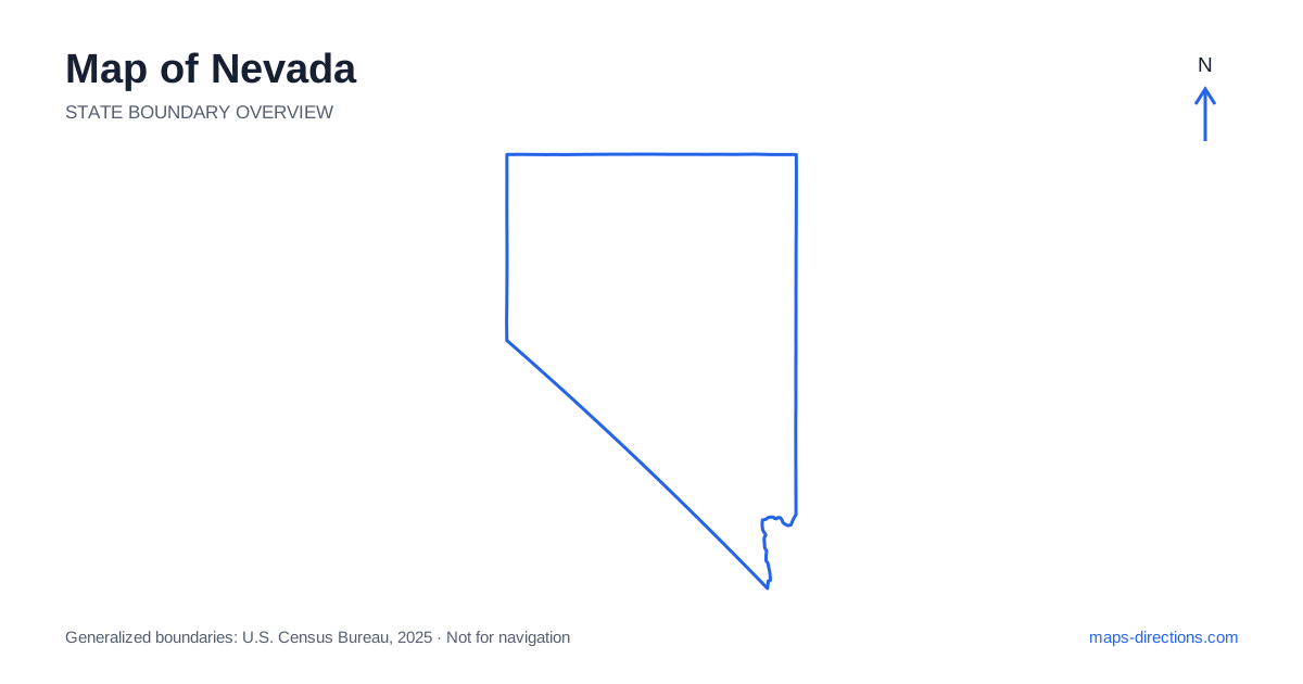
Nevada is often reduced to two familiar city regions, but most of its map consists of mountain ranges, valleys and widely separated communities. Las Vegas anchors the southern corner, while Reno and Carson City occupy the western side much farther north. Between and beyond them, the Basin and Range landscape creates a repeating pattern of ridges and open basins. Start by locating the actual region of the journey. A destination in the north, center or south may require an entirely different highway corridor rather than a casual extension of a city stay.
Read the terrain behind the broad outline
Nevada borders California on the west and southwest, Oregon and Idaho to the north, Utah to the east and Arizona in the southeast. The state's interior is not one level desert plain. Numerous mountain ranges run broadly north to south, with valleys between them. East-to-west roads may therefore cross a succession of basins and passes rather than follow one uniform landscape.
A terrain layer makes these repeated barriers visible and helps explain the road pattern. Two places on opposite sides of a range can be close in a straight line but connected by a much longer road route. Do not assume that a faint line across open land is a suitable shortcut. The main road, its surface and the particular pass or valley approach matter more than the simplicity of the destination's position on the outline.
Place the southern metropolitan region accurately
Las Vegas occupies a valley in the southern part of the state, with Henderson and other communities forming a wider metropolitan area. The familiar resort corridor is only one part of that urban geography. An airport arrival, suburban accommodation and recreation destination outside the city may involve quite different approaches even when all are described as being in the Las Vegas area.
Interstate 15 provides a major regional connection through the valley toward California and northeastern destinations. Trips toward Lake Mead or surrounding mountain and desert areas require their own local corridors. Choose the specific visitor entrance, trailhead or shore access before estimating the journey. A broad natural-area label can cover a large landscape and does not establish a single road-accessible destination at its center.
Separate Reno and the capital from the southern city
In the western city region, Reno and neighboring Sparks sit along the Truckee River corridor near Interstate 80. Carson City, the capital, lies farther south near the eastern side of the Sierra Nevada. Both cities have their own local destinations, so a single regional pin cannot stand in for a precise arrival address.
Lake Tahoe is another distinct destination, shared with California and surrounded by mountain roads and shoreline communities. A stay on one side of the lake does not provide the same approach to every attraction around it. Identify the actual shore, town and access road. The western-city cluster is far removed from Las Vegas in the south, so combining the two requires a genuine long-distance transfer rather than a local excursion between the state's best-known places.
Follow the northern east-to-west corridor
Interstate 80 crosses the northern part of the state through the Reno, Winnemucca and Elko regions. It offers a clear framework for an east-to-west journey, but the towns beside it are separated by substantial open country. A stop at a regional city should be distinguished from a detour into a mountain valley or recreation area beyond the highway.
The Humboldt River corridor helps orient portions of this northern route. Its presence on the map explains part of the settlement pattern without implying that every nearby road follows the river continuously. Before adding an off-corridor visit, trace both the outward and return connection. A small spur on the statewide view may occupy a meaningful share of the day once the local terrain and road network are considered.
Understand the central interior as several long connections
Central Nevada includes towns such as Fallon, Austin, Ely and Tonopah, each associated with particular routes through the broad interior. US 50 is an important east-to-west connection, while other highways establish north-to-south and diagonal routes between the valleys. These towns should be placed individually rather than treated as an evenly spaced grid of interchangeable stopping points.
For an interior journey, identify the chosen corridor and the services relevant to that actual route. A road shown across a remote basin does not establish its suitability for a passenger vehicle or guarantee nearby facilities. Destinations around mountain parks and recreation areas also need precise entrances. An outline can show where the region lies, but a detailed map is needed to understand which road reaches the intended part of it.
Keep regional transfers distinct from city sightseeing
A southern metropolitan stay, a western city-and-lake visit, a northern interstate trip and a central Great Basin journey each provide a coherent plan. Combining them is possible, but the connecting distances should remain visible in the overnight sequence. Avoid adding remote destinations merely because their labels appear close together when the whole state is reduced to one screen.
For a Nevada itinerary, use the map to record the exact valley, highway corridor and arrival point for every stage. Keep mountain access separate from city streets and lake-shore travel separate from a broad metropolitan label. The state shape supplies orientation; the actual journey is organized by the ranges and basins within it. Reading both together makes the long road connections easier to understand before the trip begins.