Map of Nebraska
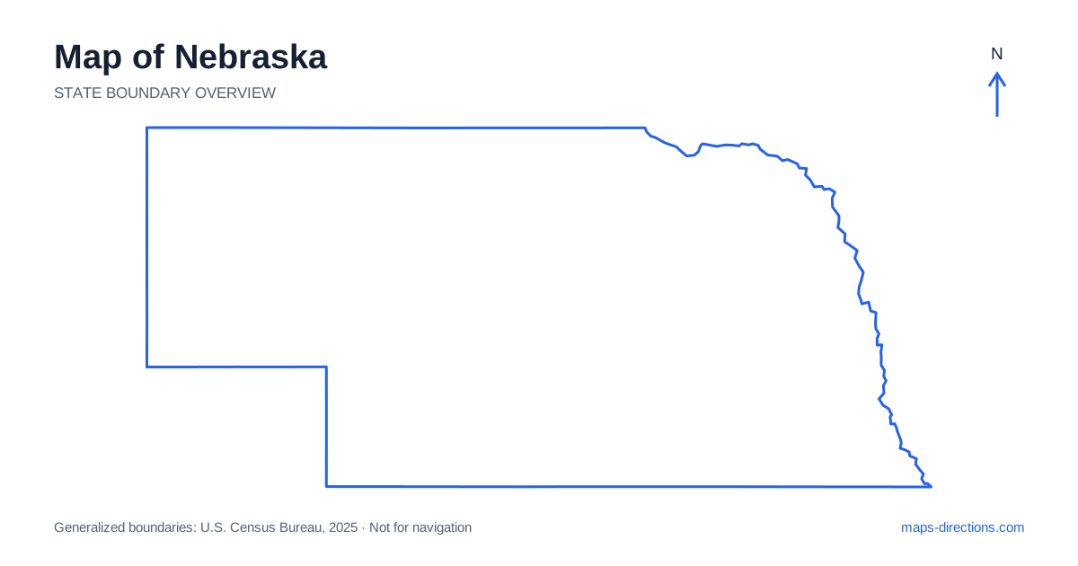
Nebraska extends from the Missouri River on the east to the High Plains and distinctive landforms of its western Panhandle. Omaha and Lincoln anchor the most populated eastern region, while Grand Island, Kearney and North Platte help organize the central corridor. The Sandhills occupy a broad area north of that main travel line. A useful map distinguishes those regions rather than treating the state as a single straight interstate drive. River valleys, rural road connections and the distance between regional towns explain much of the practical journey.
Read the eastern boundary and urban anchors
The Missouri River forms much of Nebraska's eastern edge beside Iowa and Missouri. Omaha sits along this boundary, with Council Bluffs across the water in a neighboring state. The metropolitan relationship spans the river, so a regional city description may include addresses reached by different bridges. Use the exact destination and riverbank when planning a local arrival.
Lincoln, the state capital, lies inland to the southwest of Omaha and has a separate urban network. A visit to both cities is a regional connection rather than movement between adjacent neighborhoods. For an onward journey across the state, choose an overnight location that supports the next departure direction. The eastern metropolitan area is a useful starting point, but it is not a practical substitute for bases farther along a long westbound itinerary.
Follow the Platte Valley across the interior
The Platte River system creates an important east-to-west geographical corridor. Near North Platte, the North Platte and South Platte rivers come together, while the broader valley continues eastward through the central part of the state. Towns and major roads use this general lowland route, making it a helpful reference line on the map.
Interstate 80 connects the eastern region with Grand Island, Kearney, North Platte and points farther west. It does not run through the center of every town beside it, so a local stop may still require a separate approach from an interchange. Locate the actual museum, accommodation or meeting address before deciding how conveniently it fits into the through journey. The valley provides orientation; the final access road completes the route.
Notice what lies north of the main interstate
A map of Nebraska becomes more informative when the Sandhills are given their own space. This extensive region of grass-covered dunes lies largely north of the principal interstate corridor and has a different road pattern from the eastern cities or Platte Valley. A destination there is not simply a short scenic pull-off from an east-to-west highway trip.
Select the town or access point that genuinely serves the planned visit, then trace the full road connection into the region. County roads may be widely spaced, and a line that appears direct can have a different surface or practical role from a main highway. The map should distinguish a through connection from a local ranch or recreation approach. Avoid constructing a shortcut solely from the apparent regularity of the surrounding open landscape.
Place the northern river country
Valentine is a useful reference point for the north-central region and the Niobrara River area. The river's valley creates a landscape different from both the main interstate corridor and the broader Sandhills away from it. A recreation visit needs a specific access point rather than a pin placed in the middle of the river or a broad scenic area.
If the journey includes separate river entry and exit points, show both road approaches in the plan. A water route and a driving route are different connections, even when the two endpoints look close on the overview. For an ordinary sightseeing visit, identify whether the destination sits on the north or south side of the valley and where the usable crossing lies. These local details can change the most sensible base for the stay.
Give the Panhandle a separate regional identity
Western Nebraska includes the Panhandle, where the map widens into High Plains country and prominent bluffs. Scottsbluff and Gering anchor one western area, while Chadron lies farther north near the Pine Ridge region. These places occupy different corridors and should not be combined into one small local cluster simply because both are in the state's western extension.
The region's landmarks are reached through particular roads and entrances. A bluff visible from a highway does not mean the visitor access is at the nearest point to the rock face. Likewise, an itinerary moving between the southern interstate corridor and the northern Panhandle needs its full connecting leg shown. A terrain view helps explain the landscape, while the regional road map establishes how its towns and access points fit together.
Choose stops that match the direction of travel
A cross-state interstate journey, an eastern city visit, a Sandhills excursion and a Panhandle trip each provide a clear starting framework. Combining them can work, but the route should make the north-to-south detours visible instead of hiding them inside a broad westbound plan. Overnight stops are most useful when they follow the intended progression through those regions.
For a Nebraska itinerary, pair the state outline with a closer view of the selected river valley, rural town or western landmark. Mark bridges and final access roads, and distinguish the road journey from any water-based activity. The long rectangular appearance offers simple orientation, but the practical map is richer: several distinct landscapes connected by a strong central corridor and a more widely spread network beyond it.