Map of Nashville
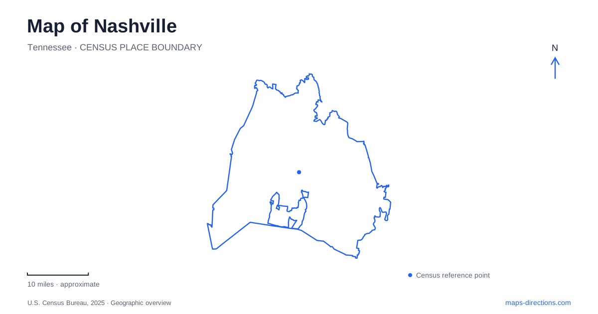
Street tiles load from OpenStreetMap when opened. The blue line shows the 2025 Census boundary.
- State
- Tennessee
- Population · July 2025
- 721,074
- Land area
- 475.6 sq mi
- Water area
- 21.6 sq mi
Nashville's map is easier to interpret when the Cumberland River and the downtown district names are read together. Broadway supplies one familiar central reference, but SoBro, the Gulch and Germantown occupy different positions around the core. Across the water, river-side parks and the Shelby Bottoms landscape introduce another scale entirely. A useful overview makes room for those differences instead of treating every music venue, neighborhood and greenway as part of one compact downtown scene.
District names describe a position around downtown
SoBro means the area south of Broadway, where the visitor bureau groups the convention center, hotels, restaurants and cultural attractions. The Gulch is another southern district, more specifically centered on 11th and 12th Avenues South between Broadway and Division Street. These street references give a clearer picture than the assumption that any destination south of Broadway belongs to the same neighborhood.
Germantown supplies a northern counterpart. The official guide places this historic neighborhood just north of downtown and associates it with dining, baseball, the farmers' market and museums. On a Nashville map, the three names form a useful orientation pattern: a southern convention-area cluster, the avenue-centered Gulch and the historic area north of the core. Their individual street maps then add detail to that basic arrangement.
The river has more than one pedestrian bridge
The John Seigenthaler Pedestrian Bridge spans the Cumberland between its east and west banks near downtown. The city's naming ordinance identifies it as the former Shelby Street pedestrian bridge. Both names can therefore appear in visitor material, but they describe the same structure rather than two separate downtown crossings. Recognizing the older name is useful when comparing maps or park descriptions produced at different times.
Farther along the river, the Cumberland River Pedestrian Bridge belongs to the greenway connection between Shelby Bottoms and the Stones River system. That is a different crossing serving a different landscape. The similar descriptions can be confusing when a search returns “pedestrian bridge” without context. The named greenway or downtown district identifies which crossing a particular outing requires.
Shelby Bottoms follows the river's floodplain
Metro Parks places Shelby Bottoms beside Shelby Park in the eastern part of the city, with the Cumberland along its eastern boundary. The natural area contains bottomland hardwood forest, wetlands, fields and streams. Its landscape reflects river-deposited soils, making it a different kind of public space from a downtown plaza or landscaped riverfront promenade.
The Nashville parks page distinguishes paved multi-use trails from primitive trails within the natural area. It also publishes two separate trailhead locations: the main access on Davidson Street and Forrest Green Trailhead on Forrest Green Drive. Those details reveal a substantial park system with several approaches, rather than a single entrance leading to one short loop. The type of trail and the chosen starting place shape the outing as much as the broad park name.
The greenway reaches toward another river system
The local greenway organization describes the Shelby Bottoms route passing the nature center and extending through the preserve toward Cornelia Fort Air Park and the Cumberland crossing. Beyond the bridge, the Stones River Greenway continues through a sequence of parks that includes Two Rivers, Heartland, Lytle and Ravenwood. The path network therefore connects distinct park landscapes across the river rather than simply circling one recreation area.
This makes a greenway map especially informative. It can show the relationship between an airfield landscape, a floodplain preserve, a major crossing and parks along another waterway. A city street map may show all of those names but give less emphasis to their nonmotorized connections. The greenway route is the organizing feature for that journey, while the roads primarily serve the trailheads and surrounding neighborhoods.
The wider visitor map extends beyond Broadway
The official city visitor map separates Opryland and Music Valley from downtown and identifies Donelson and Hermitage as another eastern area. It also marks Percy Priest Lake, the airport, the Parthenon and major sporting destinations. Their distribution is a reminder that Nashville's visitor geography includes several different clusters, with different relationships to the center and the river.
A downtown hotel address therefore does not define the position of every attraction associated with the city. The neighborhood map is useful for deciding whether an outing focuses on the central districts, the eastern visitor areas or a river-and-greenway landscape. That is a geographic choice before it becomes a route choice, and it helps avoid compressing a large area into one imagined entertainment district.
A Nashville itinerary can be organized around the named streets of SoBro and the Gulch, the northern position of Germantown, or the linked natural spaces beyond Shelby Park. The Cumberland ties many of these places into the same city, but the bridges and district boundaries explain how they differ. Those relationships give the map substance beyond its best-known downtown landmark names.
Map and statistics: U.S. Census Bureau, 2025 Gazetteer, January 2025 generalized place boundaries and Vintage 2025 population estimates. Local references: Nashville Convention and Visitors Corp; Metropolitan Government; Metro Parks; Greenways for Nashville. Article prepared by Maps & Directions.