Map of Naperville
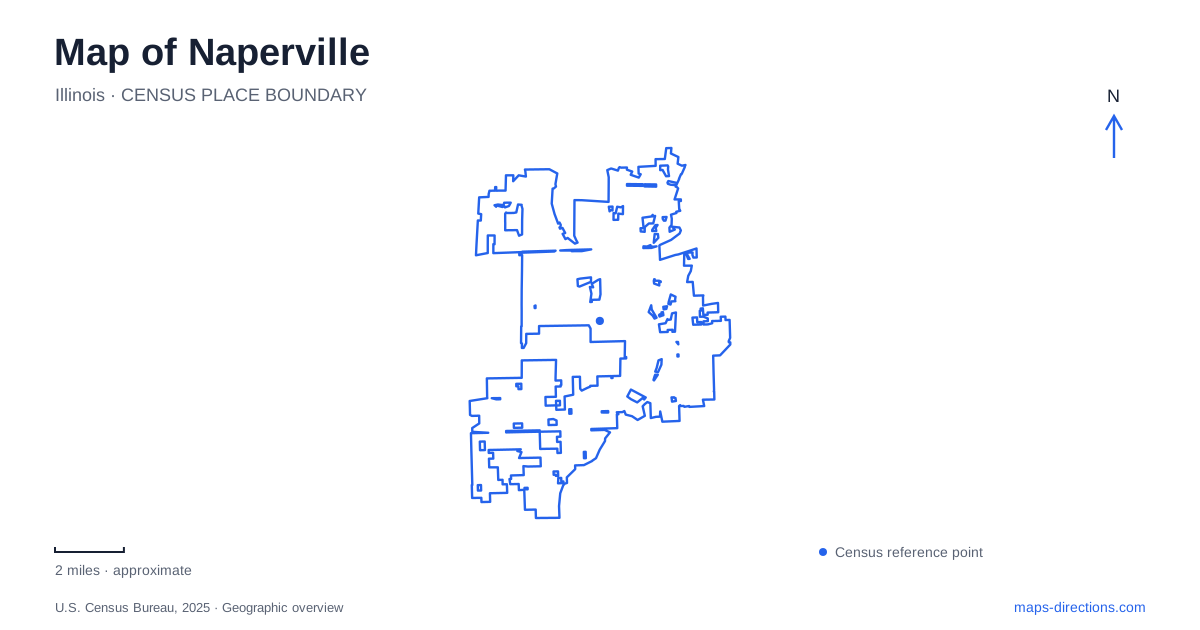
Street tiles load from OpenStreetMap when opened. The blue line shows the 2025 Census boundary.
- State
- Illinois
- Population · July 2025
- 153,114
- Land area
- 39.4 sq mi
- Water area
- 0.6 sq mi
Naperville's central landscape is closely tied to the West Branch of the DuPage River, but the river has served very different purposes over time. Its surroundings supported settlement and quarrying before becoming the setting for a celebrated public walkway. Nearby estate land contributed to a network of civic institutions and parks. Beyond the center, Springbrook Prairie preserves an open grassland landscape whose history also includes agriculture. These connections make the map more revealing than a simple inventory of attractions.
A river corridor built for the community
The Riverwalk was created in 1981 to mark the city's 150th anniversary. Its 1.75 miles of brick paths follow the West Branch, incorporating bridges, fountains, sculpture, memorials and gathering spaces. The route is therefore both a practical pedestrian corridor and a record of community projects accumulated along the water.
The river's bends and crossings provide a useful framework for reading downtown Naperville. Rather than imposing a single straight route, the walkway connects a sequence of spaces with different relationships to the bank. Some are places to move through; others support events, reflection or recreation. Looking at bridges and adjoining streets together helps explain how the commercial center meets the river.
The proposed North Central College Riverwalk Park illustrates the continuing development of this corridor. Its purpose is to close a gap by connecting the southern extension, Washington Street and the college campus through the Moser Covered Bridge. That project is identified by the city as forthcoming, so it should be understood as an intended connection rather than treated as a completed section of the route.
The quarry beneath the swimming destination
Centennial Beach has an industrial origin that is easy to miss if it appears on a map simply as a recreation facility. The site was once worked for limestone, a material used in local construction. Quarrying continued there until 1913, when the intrusion of natural spring water became a decisive problem.
In 1931, a community effort acquired forty-five acres containing two abandoned quarries to mark the town's centennial. The swimming facility opened the following summer. Its conversion changed the purpose of an excavated landscape without erasing the reason that the water-filled basin existed in the first place.
The park district assumed responsibility for the beach in 1969. Seen alongside the Riverwalk, the site records two different approaches to public space: adapting a former industrial excavation and building a pedestrian landscape along a natural watercourse. Both are part of the central geography of Naperville, but they developed from different physical starting points.
An estate that shaped the surrounding city
Pine Craig, the Martin family's mansion, stands within Naper Settlement. George Martin built it in 1883 on Locust Hill near his limestone quarries. Its brick, tile and stone displayed materials produced by his own enterprises, and the house also accommodated business activity. The proximity of home and quarry makes the building especially useful for understanding the relationship between family wealth and the local landscape.
After Martin's death, his widow and daughters continued managing the businesses and estate. Caroline Martin Mitchell later established a charitable trust in 1936 covering the family's 212 acres. Her provisions preserved the home as a museum, made the orchards a community gathering place and dedicated the wider property to public purposes.
That legacy reaches beyond the museum grounds. Rotary Hill, Knoch Park, the central high school and other community facilities developed on portions of the estate. Reading these places together reveals a historical landholding beneath the modern pattern of separate parks, schools and institutions.
Open grassland beyond the riverfront
Springbrook Prairie occupies 1,829 acres and contains the largest grassland community in DuPage County. Former farmland became a protected landscape through acquisitions between 1974 and 2002. Its open character matters for birds such as bobolinks, meadowlarks and Henslow's sparrows, which depend on grassland habitat.
Restoration of Spring Brook introduced more natural bends and broader, shallower banks, slowing water and improving aquatic habitat. This is a different water landscape from the formal Riverwalk in Naperville: the stream's ability to spread into surrounding land during heavy rain is part of its ecological function.
The main trailhead lies north of 83rd Street, west of Book Road. The preserve map distinguishes the 5.5-mile Springbrook Prairie Trail from Sunflower Trail and the narrower Henslow's Trail, where bicycles are prohibited. Some segments close seasonally to protect nesting habitat. These distinctions allow a map of Naperville to connect local recreation with the actual shape and purpose of its landscapes, from repurposed quarry basins to restored prairie streams.
Map and statistics: U.S. Census Bureau, 2025 Gazetteer, January 2025 generalized place boundaries and Vintage 2025 population estimates. Local references: City of Naperville; Naperville Park District; Naper Settlement; Forest Preserve District of DuPage County. Article prepared by Maps & Directions.