Map of Napa
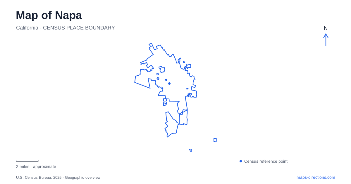
Street tiles load from OpenStreetMap when opened. The blue line shows the 2025 Census boundary.
- State
- California
- Population · July 2025
- 76,562
- Land area
- 18.1 sq mi
- Water area
- 0.3 sq mi
Napa's urban landscape is organized around a river that serves several roles at once: a natural corridor, a downtown setting, and a flood-management system. The Oxbow district makes those overlapping purposes especially visible. Beyond the central waterfront, Westwood Hills and Alston Park provide different encounters with the surrounding terrain, while Kennedy Park combines recreation with access to the river. Reading the city through these places gives the map a more precise meaning than a broad wine-country label.
A riverfront shaped by engineering and ecology
The Napa River flood-protection project extends through roughly seven miles of the urban corridor, from the Butler Bridge at Highway 29 to Trancas Street. Its approach includes terraced banks, restored floodplain relationships, bridge changes, and a dry bypass around the oxbow. These features explain why some open areas near downtown have unusual shapes or lie lower than nearby streets.
The bypass allows high water to take a shorter route across the river's bend. Its purpose is therefore different from a conventional ornamental lawn or a permanent side channel. Riverfront promenades and landscaped areas occupy a setting designed to accommodate the movement of water as well as people. Understanding that dual role makes the central waterfront more interesting and helps explain why storm conditions can alter access to places that are normally used for recreation.
Three different Oxbow destinations
Oxbow Commons is at 1268 McKinstry Street. The city's site plan divides the public space into areas including Town Green, River Landing, Soscol Green, and the China Point natural area. Paths and open ground relate to the river and the bypass, while an amphitheater plaza provides an event setting. McKinstry Street passes through this landscape, giving the commons a street relationship as well as a waterfront one.
Oxbow Public Market, at 610 and 644 First Street, has a different function. Its food vendors, shops, and dining places occupy a commercial destination within the same broader district. The market can be part of an outing that includes the commons, but it is not the name of the entire riverfront open space.
Oxbow Preserve is listed separately at 1028 McKenzie Drive. A map of Napa should distinguish this natural-area destination from the commons and the market. The shared name reflects the river bend, while the different addresses and purposes describe three distinct places. Keeping those distinctions visible makes it easier to understand why the district contains both busy gathering spaces and less intensively developed land.
Climbing above Browns Valley Road
Westwood Hills Park begins at 3107 Browns Valley Road. Established in July 1976, it includes hills, a lower meadow, oak woodland, and introduced tree species such as eucalyptus. The city's description emphasizes the changes in vegetation with elevation, with coast live oak at the higher ground. This is a markedly different outdoor setting from the lower, engineered riverfront.
The trail map names Summit Vista Point and Bill Crane Vista Point, along with routes such as Meadow Trail, Fern Canyon Trail, and Ridge Trail. Contour lines and named overlooks make the elevation pattern legible before a walk begins. A path toward a summit serves a different purpose from one exploring the lower meadow, even when both begin within the same park.
From this elevated setting, the relationship between the city and valley becomes easier to appreciate. Westwood Hills provides a way to interpret Napa from above, complementing the closer view of waterways and streets available downtown. The park's trail network is useful for choosing that perspective rather than assuming every route offers the same terrain.
Dry Creek Road and Alston Park
Alston Park is at 2037 Dry Creek Road. Its trail uses include hiking and horseback riding, and it has designated areas where dogs may be off leash. The distinction between designated off-leash ground and the rest of the park matters because a general park symbol cannot show how different users share the space.
The park adds another outdoor option beyond the riverfront and the wooded climbs at Westwood Hills. Its address places it within the Dry Creek Road corridor, and its trail and picnic facilities support an outing centered on open space rather than an indoor attraction. Comparing these parks by terrain, permitted uses, and approach road is more useful than treating them as interchangeable green areas.
Streblow Drive's recreation destinations
Kennedy Park's river launch is listed at 2296 Streblow Drive. The public golf course uses 2295 Streblow Drive and provides an eighteen-hole course with practice facilities. The neighboring addresses show how one recreation area can contain several independently organized destinations, each with its own activity and arrival pattern. Napa's map becomes most informative when those details sit alongside the larger landscape: the river's bend and bypass, downtown public spaces, hills above Browns Valley Road, and the recreation grounds reached from Streblow Drive.
Map and statistics: U.S. Census Bureau, 2025 Gazetteer, January 2025 generalized place boundaries and Vintage 2025 population estimates. Local references: Napa County; City of Napa; Oxbow Public Market; City of Napa / Friends of Westwood Hills; California State Parks. Article prepared by Maps & Directions.