Map of Myrtle Beach
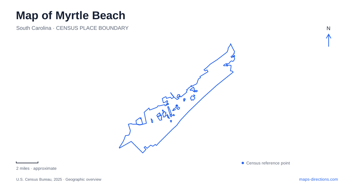
Street tiles load from OpenStreetMap when opened. The blue line shows the 2025 Census boundary.
- State
- South Carolina
- Population · July 2025
- 40,937
- Land area
- 23.4 sq mi
- Water area
- 0.3 sq mi
Myrtle Beach has several distinct visitor landscapes that are easy to blur together on a regional map. The oceanfront boardwalk follows the Atlantic shoreline; Broadway at the Beach surrounds an inland lake; Market Common occupies former military land; and a state park preserves maritime forest beside the beach. Understanding those settings first makes the city's attractions and open spaces easier to place.
The boardwalk's defined stretch of coast
The Oceanfront Boardwalk and Promenade runs approximately 1.2 miles between the piers at Fourteenth Avenue North and Second Avenue North, passing through Plyler Park. Those numbered avenues provide a useful frame for the central beachfront experience. The promenade covers a specific stretch of shoreline rather than the entire Grand Strand.
The official tourism description distinguishes quieter portions of the walk from the section with shops, restaurants, and the SkyWheel. That variation matters even within a relatively short route. A visitor can remain beside the same ocean while moving between a more open promenade setting and concentrated entertainment.
An earlier boardwalk was destroyed by Hurricane Hazel in 1954. The modern boardwalk opened in 2010, so it represents a renewed public connection to the coast rather than an unchanged structure surviving from the early resort era. The route's present role and its longer history are related, but they are not identical.
A swash brings another kind of water into view
Withers Swash offers a different way to understand Myrtle Beach's coastal geography. The city's comprehensive plan explains that local swashes are tidal basins and creeks crossing the beach toward the ocean. They are part of the drainage and habitat system, not simply decorative ponds beside development.
Withers Swash Park is listed at 314 Withers Swash Drive. It includes an overlook, walking paths, a playground, and a disc golf course. These facilities allow a visit focused on a smaller water corridor and wooded recreation space, away from the broad open horizon of the beachfront.
The distinction between a swash and the ocean is useful when reading a map. One describes a channel linking land and coast, while the other is the large destination beyond it. The park makes that relationship visible at a neighborhood scale and adds an environmental layer to an area often represented mainly through lodging and attractions.
Former air-base land and a new district
Market Common gives Myrtle Beach another distinct center. The development opened in April 2008 on land associated with the former Air Force base, which closed in 1993. Its shops, restaurants, and entertainment spaces belong to a major reuse of that military landscape.
The district's own history notes that street names and historical markers preserve connections with military figures, buildings, and events. Those references explain why a modern commercial area contains a vocabulary of service and remembrance. Its identity comes partly from what the property used to be, even where original buildings no longer remain.
Warbird Park sits by Kings Highway and Farrow Parkway, where military memorials give that history a visible public setting. The city's account of memorial planning identifies those two roads as important edges of the site. Together, the park and district show different responses to the former base: commemoration in one place and a new pattern of everyday use in another.
An inland entertainment lake
Broadway at the Beach is at 1325 Celebrity Circle. Its owner describes a series of interconnected shopping, dining, and attraction areas around the twenty-three-acre Lake Broadway. Despite the development's name, its organizing water feature is this inland lake rather than the Atlantic beach.
That is an important distinction on a Myrtle Beach map. The oceanfront boardwalk is a linear coastal route, while Broadway is a large destination arranged around a contained body of water. Identifying Celebrity Circle and Lake Broadway helps prevent the two entertainment settings from collapsing into a single vague beachfront label.
Maritime forest beside the shore
Myrtle Beach State Park opened in 1936 as the first park in South Carolina's state system. Its oceanfront maritime forest and mile of undeveloped beach preserve a coastal setting different from the central commercial shoreline. Civilian Conservation Corps work is part of its history, including cabins dating from the 1930s.
The park's nature-trail map identifies Sculptured Oak and Yaupon trails, a pond, nature center, dune crossovers, and the fishing pier. These features create a progression from woodland to shoreline, allowing the beach to be understood as part of a wider coastal habitat.
Together, the boardwalk, swash, former base, inland lake, and forest park offer several ways to read the same destination. Their different water features and land-use histories give each area its own character, helping a visitor organize a trip around specific settings rather than assuming every attraction belongs to the same strip of coast.
Map and statistics: U.S. Census Bureau, 2025 Gazetteer, January 2025 generalized place boundaries and Vintage 2025 population estimates. Local references: Visit Myrtle Beach; City of Myrtle Beach; The Market Common; Burroughs & Chapin; South Carolina State Parks. Article prepared by Maps & Directions.