Map of Murrieta
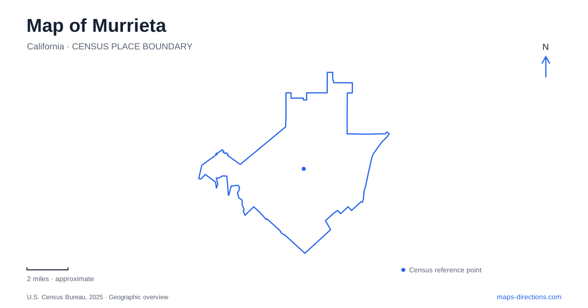
Street tiles load from OpenStreetMap when opened. The blue line shows the 2025 Census boundary.
- State
- California
- Population · July 2025
- 114,124
- Land area
- 35.4 sq mi
- Water area
- 0.0 sq mi
Murrieta's older center and surrounding recreation landscape tell different parts of its story. Washington Avenue became the commercial focus after an earlier railway settlement developed around New Clay Street. Town Square now supports civic gatherings, while neighborhood sports facilities serve the much larger modern community. To the southwest, the Santa Rosa Plateau introduces oak woodland, grassland, and seasonal wetland habitats. These places provide a useful route through the city's map, from the old town site to public facilities and the landscape beyond the developed valley.
Washington Avenue followed the railway-era settlement
The downtown planning area largely covers the original town site, land purchased by the Temecula Land and Water Company in 1884. A railway station and the Fountain House Hotel were built on New Clay Street in 1885. By the turn of the twentieth century, Washington Avenue had become the commercial center. That sequence explains why two streets matter when tracing the town's beginnings: one associated with arrival and lodging, the other with the developing business district.
The downtown plan also describes small historic parcels along Washington, First, and Second avenues. Their dimensions reflect an older subdivision pattern that differs from the larger modern facilities elsewhere in the city. A walk through this area can therefore examine both surviving buildings and the scale of the blocks and lots around them.
For Murrieta visitors, the most useful historical question is how activity shifted within the town site. The station and hotel drew travelers, then commerce concentrated along Washington. The street map preserves that relationship even where individual early structures have changed or disappeared. This gives a downtown outing a specific theme instead of relying only on the general appeal of an old commercial street.
Hunt House and Town Square serve different public roles
The Community Center at 41810 Juniper Street shares its setting with Hunt Baseball Field, picnic areas, and Hunt House, now home to the local historical society museum. The grouping combines recreation and historical interpretation within one public complex. Hunt House provides a building-based destination for learning about the area's past, while the surrounding facilities continue to support everyday activities.
Town Square is a separate civic setting associated with City Hall, the public library, senior services, and the veterans memorial. Its park and amphitheater host public events and concerts. These facilities represent the community's modern gathering landscape, complementing the older commercial pattern around Washington Avenue.
A Murrieta visit can include both settings without assigning them the same purpose. Juniper Street offers the historical house and community-center facilities; Town Square offers the civic park and event space. Their relationship shows how public activity has expanded beyond the original business street while retaining historical interpretation within the community's daily life.
California Oaks is a recreation destination with a changing pool story
California Oaks Sports Park is at 40600 California Oaks Road, near Lincoln Avenue. Its skate park and sports facilities make it an important destination for active recreation. The street name provides a clear reference within the wider neighborhood road network, and the park's different facilities support activities beyond a simple walk through green space.
One detail deserves particular care when reading older facility descriptions: the existing community pool was permanently closed in 2023 because of structural and mechanical problems. The city has developed plans for a replacement, but its aquatics information says that project is on hold pending funding. Swim programs have instead used a high-school pool on Clinton Keith Road. A listing that still includes the word pool in the park's title should therefore not be taken as evidence of an operating public pool there.
This is a practical example of why Murrieta's recreation map should be read alongside the relevant activity information. The sports park remains a geographical destination, but a swimming program can take place at another facility. The distinction concerns a real change in service location, not merely a different entrance within the same park.
Clinton Keith Road reaches a different landscape
The Santa Rosa Plateau Visitor Center is at 39400 Clinton Keith Road. The plateau lies at the southern end of the Santa Ana Mountains and includes oak woodland, rare bunchgrass prairie, and vernal-pool wetlands. Its habitat diversity makes it a substantial contrast with the built streets and sports grounds of the valley.
The county's interpretation also recognizes the long history of Indigenous use of the landscape by ancestors of today's Luiseño communities. That context broadens an outing beyond scenery, connecting plants, animals, and human history. Murrieta can thus serve as a starting point for three distinct explorations: the railway-era town, the evolving public recreation system, and a protected plateau whose ecological and cultural history reaches far beyond the modern city.
Map and statistics: U.S. Census Bureau, 2025 Gazetteer, January 2025 generalized place boundaries and Vintage 2025 population estimates. Local references: City of Murrieta; Riverside County Regional Park and Open-Space District. Article prepared by Maps & Directions.