Map of Murray
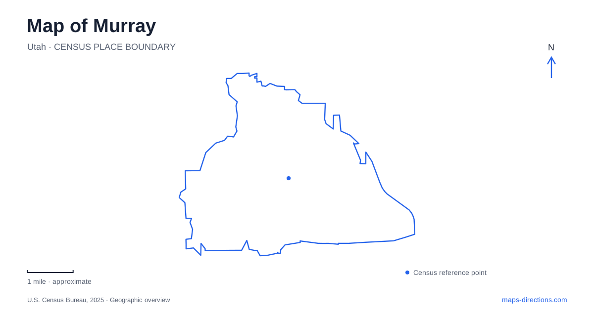
Street tiles load from OpenStreetMap when opened. The blue line shows the 2025 Census boundary.
- State
- Utah
- Population · July 2025
- 53,297
- Land area
- 12.4 sq mi
- Water area
- 0.0 sq mi
Murray occupies a part of the Salt Lake Valley where industrial history, regional rail travel, and creek corridors meet. State Street and Poplar Street establish the older business district. The medical campus and railway interchange show a different stage of redevelopment, while the Jordan River forms a recreation corridor farther west. To the east, Wheeler Historic Farm preserves an agricultural landscape within the surrounding urban area. These places offer several distinct starting points for understanding the community.
State Street and the historic districts
The downtown historic district centers on the business buildings along State Street and the east side of Poplar Street. Its pattern differs from the historic residential district, which includes streets between 4800 South and Vine Street and extends toward Center, Atwood, and Glen streets. The distinction is useful on a walking map: storefronts and houses belong to related history, but they occupy different portions of the older grid.
The Murray Museum is in the Cahoon Mansion at 4872 South Poplar Street, across from City Hall. This location is more useful than older references that place the museum inside the municipal building. A visit to the mansion puts local history within the historic streets themselves. Farther south and east, the Hillside Historic District occupies a separate neighborhood between 5300 South and 5600 South, with 235 East and Kenwood Drive marking its west and east sides. It should be considered a second area of historic housing rather than an extension of every downtown block.
From smelting land to a medical campus
The large medical and transportation district has an industrial predecessor that is not obvious from its present buildings. Intermountain Medical Center occupies part of a former lead-smelting site whose cleanup and redevelopment were coordinated by public agencies, the city, and property interests. The hospital opened in 2007. Commercial uses and transit facilities also became part of the reuse of this former industrial land.
This history helps explain why the campus and railway facilities have a much larger footprint than nearby residential blocks. The change was a substantial reorganization of former industrial property, not simply the insertion of one hospital into an ordinary neighborhood. Comparing the campus, tracks, and older State Street district reveals different periods of land use side by side. The vanished smelter belongs to the interpretation of the place even though its smokestacks no longer provide a skyline landmark.
A rail interchange with two addresses
Murray Central connects FrontRunner commuter rail with TRAX light rail. UTA lists the FrontRunner station at 140 West Vine Street and the TRAX station at 5144 South Cottonwood Street. The latter serves the Blue and Red lines. These addresses describe different parts of an interchange, which matters when arranging a pickup or choosing the walking approach to a particular platform.
The numbered street system provides another useful orientation cue. South numbers increase as streets extend farther down the valley, while East and West distinguish positions on either side of the addressing baseline. In this area, retain the full street direction rather than reducing a destination to a number alone. Vine Street and Cottonwood Street remain useful names alongside that grid, particularly around the rail and medical district.
Following the river and its tributaries
The Jordan River Parkway lies west of the historic center. Arrowhead Park is at the northern end of the city's designated trail section, at 593 West 4800 South. Germania and Walden parks provide additional river-corridor destinations, while Winchester Park marks the southern end of that section. Choosing one of these named parks gives a river outing a clear starting area instead of treating the entire greenbelt as a single stop.
Two creek systems add east–west connections to this water map. Big Cottonwood Creek reaches the Jordan River near 4200 South, while Little Cottonwood Creek reaches it near 4800 South. Both pass through developed areas using open channels and road-crossing structures. They are separate streams with separate junctions, despite the shared Cottonwood name. Following their lines on a map explains how water from the eastern part of the valley enters the north-flowing river corridor.
An agricultural counterpoint at Wheeler Farm
Wheeler Historic Farm offers a different perspective on Murray's development. The county operates the site on South 900 East, where the Victorian farmhouse dates to 1898. Salt Lake County purchased the property in 1969, and the historic farm opened to the public in 1976. The preserved house and farm landscape make agriculture visible alongside the urban roads that now surround it.
A map of Murray becomes easier to interpret when these contrasting places remain distinct: the older commercial grid, the redeveloped smelter land, the river parks, and the farm. Together they show how successive uses of valley land produced the present community, rather than suggesting that every major destination grew from the same downtown center.
Map and statistics: U.S. Census Bureau, 2025 Gazetteer, January 2025 generalized place boundaries and Vintage 2025 population estimates. Local references: Murray City; US Environmental Protection Agency; Utah Transit Authority; Salt Lake County. Article prepared by Maps & Directions.