Map of Muncie
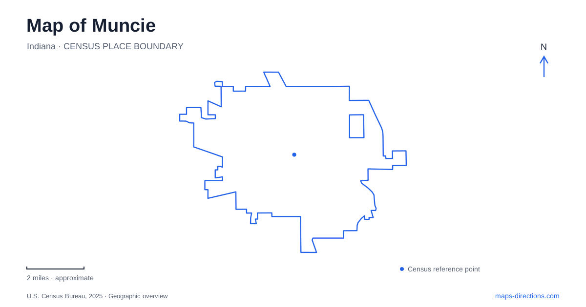
Street tiles load from OpenStreetMap when opened. The blue line shows the 2025 Census boundary.
- State
- Indiana
- Population · July 2025
- 65,466
- Land area
- 27.4 sq mi
- Water area
- 0.2 sq mi
Muncie can be read through places where an earlier use remains visible inside a newer one. A railway depot now serves a recreation trail, family houses form part of a museum landscape, and a former domestic room became a television studio. Ball State's campus adds an institutional history that began before the university received its present name. Together, these places reveal a city shaped by industry, philanthropy, education and the reuse of established buildings.
The depot anchors a former railway corridor
The Wysor Street Depot opened in 1901 for the Cincinnati, Richmond and Muncie railroad. Cardinal Greenways acquired the building in 1993 along with a long section of former CSX railway corridor. Restoration returned architectural features that had been lost, and the depot reopened in 2004 as the trail organization's headquarters.
Its address, 700 East Wysor Street, identifies both a historic building and a present-day trail destination. The depot's role has changed from serving rail passengers to supporting people using a linear recreation network. Its survival makes the relationship between the building and the former track corridor easier to understand.
The Cardinal Greenway extends through several eastern Indiana communities, so the local section is part of a larger regional route. The operator distinguishes the paved trail from an intervening road section farther north between Gaston and Jonesboro. The regional name should not be taken to mean that every mile follows a continuous separate path.
River and railway routes have different shapes
The White River Greenway follows the city's water corridor, while the Cardinal route reflects the geometry of the former railway. Both provide recreational connections, but they explain different parts of the landscape. A river bends in response to terrain; a railway was engineered to link destinations on a workable alignment.
This distinction helps when studying Muncie's parks and neighborhoods. A greenway beside the river relates to its banks, bridges and adjacent open spaces. A trail on former railway land can cross the city in a different direction and connect it with settlements well beyond the urban area. Their names describe complementary networks rather than two labels for the same path. Reading both on a map reveals how modern recreation has reused older geographic corridors.
Minnetrista preserves several household histories
Minnetrista occupies property associated with the Ball family, whose philanthropy also shaped education and other local institutions. The museum landscape includes historic homes and gardens, with Oakhurst preserving the setting of George and Frances Ball and their daughter Elisabeth.
Oakhurst's restoration involved family members, museum staff and specialists who worked to recover the character of the house and gardens. That process matters because a preserved property is also an interpretation assembled from evidence and surviving materials. It is not simply a household frozen without change.
The individual house names help distinguish places within the broader campus. Minnetrista can refer to the museum destination as a whole, while Oakhurst identifies a particular family residence. For visitors comparing a campus map with historical references, the scale of the name matters as much as its spelling.
A family parlor became a television studio
The Lucius L. Ball house contains the setting associated with Bob Ross's television work. A room once used as a family parlor became part of WIPB's production space. Ross recorded episodes of The Joy of Painting there before the station moved to a new studio on the university campus in 1988.
The Bob Ross Experience now interprets that earlier studio setting, including the relationship between the room where the program was made and the domestic spaces where viewers watched it. The exhibit's recreated 1980s living room makes that second part of the story tangible.
This gives Muncie an unusual connection between domestic architecture and broadcasting. The historic house is important for both its original residents and a later creative use. It would be misleading to attribute every locally produced episode to the house, because production continued at a different studio after the move.
Ball State has a separate institutional timeline
Ball State was founded in 1918 as the Indiana State Normal School's Eastern Division. The university's archival collections also document earlier educational institutions on the site, including Eastern Indiana Normal University and Palmer University. Those predecessors explain why campus history reaches back beyond the founding date of the present public institution.
The university grew from teacher education into a much broader range of academic fields. Its relationship with the Ball family connects it historically with Minnetrista, while its campus has its own buildings, boundaries and institutional purpose. A shared family association does not make the museum grounds part of the same destination.
Reading Muncie through these reused and evolving places brings several transitions into focus. Railway infrastructure became a regional trail resource, family property became an interpretive landscape, a parlor became a studio, and earlier schools preceded a public university. The city's map holds evidence of each transition, especially where an old building continues to serve a new public role.
Map and statistics: U.S. Census Bureau, 2025 Gazetteer, January 2025 generalized place boundaries and Vintage 2025 population estimates. Local references: Cardinal Greenways; City of Muncie; Minnetrista; Ball State University. Article prepared by Maps & Directions.