Map of Mulberry
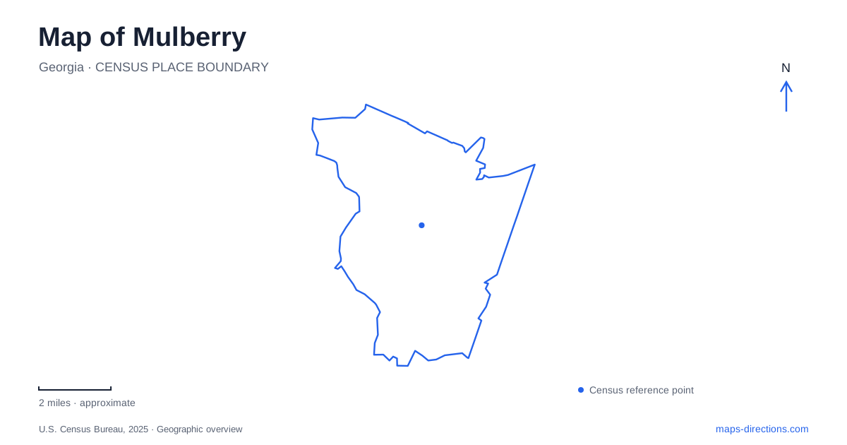
Street tiles load from OpenStreetMap when opened. The blue line shows the 2025 Census boundary.
- State
- Georgia
- Population · July 2025
- 41,445
- Land area
- 25.7 sq mi
- Water area
- 0.2 sq mi
Mulberry is a new municipality within a landscape whose roads, neighborhoods, parks and historic sites are much older. That difference matters when reading its map. County facility listings may still use Dacula or Auburn mailing addresses, while the city supplies a newer municipal identity and boundary. Braselton Highway, Hog Mountain Road, Fence Road and Dacula Road provide useful physical reference points through an area where modern residential development coexists with early county history and substantial protected landscapes.
An incorporated city and an older place
Residents voted to create the municipality in May 2024, following state legislation and the signing of its charter earlier that year. The first municipal elections took place later in 2024. These events established a new layer of local government; they did not mark the beginning of settlement, road building or community life in the area.
A map of Mulberry is therefore most useful when it distinguishes municipal boundaries from address labels. The county's park pages identify specific road addresses and commonly used mailing communities. Those labels can remain useful for finding an entrance without defining the full extent of the newer city. For jurisdictional questions, the municipal boundary map supplies a different kind of information from a postal address or the name of a subdivision.
Fort Daniel and the Hog Mountain landscape
Fort Daniel's historic site is on Braselton Highway. It preserves an archaeological landscape associated with an early frontier fort near the meeting of treaty boundaries. The fort was rebuilt during the Creek War in 1813, and in early 1814 it became a staging point for constructing the original Peachtree Road toward Standing Peachtree on the Chattahoochee River.
The site's importance is partly beneath the surface. Archaeological work has identified the footprint of a square stockade and diagonally positioned blockhouses, together with artifacts such as pottery, glass, nails and military-related objects. This makes it an archaeological research preserve rather than simply an old building open for a conventional house tour.
Its position also explains why Hog Mountain is more than a road name. Elevated ground and earlier territorial boundaries influenced the fort's location. Reading the historic site against the surrounding roads reveals an older movement corridor beneath the contemporary pattern of subdivisions and highway travel.
County government began in a house
The Elisha Winn House stands at 908 Dacula Road. Built around 1812, it was in Jackson County before the creation of Gwinnett County in 1818. The property accommodated early county planning, courts, elections and a jail, placing a domestic building at the center of public administration before a permanent county-seat complex developed elsewhere.
The grounds include the historic home, a one-room schoolhouse and a barn, with interpretation managed by the historical society. The city identifies the property as part of its local history. Its significance is different from Fort Daniel's: one site interprets military and road-building activity, while the other records the establishment of county institutions. Together they show how much of the area's public history predates its current municipal government.
Little Mulberry Park has several landscapes
The large county park uses several road approaches, each associated with different facilities. Fence Road serves a meadow, playground and overlook setting. Hog Mountain Road provides access to the fishing lake and Karina Miller Nature Preserve, with a separate entrance for disc golf. Mineral Springs Road serves the equestrian approach and trailer parking.
The trail map reinforces those distinctions. It identifies the Miller Trail Loop as a multiuse route, the Ravine Loop as a hiking path and a separate equestrian route. The differing surfaces and designated uses reflect a landscape of water, wooded slopes and open meadow rather than one uniform paved circuit. Choosing a part of the park is consequently a choice of terrain and activity as well as a parking location.
The word Mulberry on a map can thus refer to the municipality or to a park with its own internal geography. The park's detailed trail names and road entrances provide the more useful scale once an outdoor destination has been chosen.
Duncan Creek's recreation grounds
Duncan Creek Park, at 3700 Braselton Highway, offers another kind of public space. Its skate complex, basketball and volleyball courts, playground, multipurpose field and lighted walking track concentrate active recreation. This contrasts with the longer woodland and equestrian routes at the larger park.
The difference gives the area's open spaces distinct roles. A court game, a walk around the field and an outing through wooded slopes involve different facilities and movement patterns. On a map of Mulberry, the historic sites and parks are especially helpful anchors because they connect recognizable roads to specific local stories and activities, making the newer city boundary easier to understand in its established landscape.
Map and statistics: U.S. Census Bureau, 2025 Gazetteer, January 2025 generalized place boundaries and Vintage 2025 population estimates. Local references: City of Mulberry; Fort Daniel Foundation; Gwinnett County. Article prepared by Maps & Directions.