Map of Mountain View
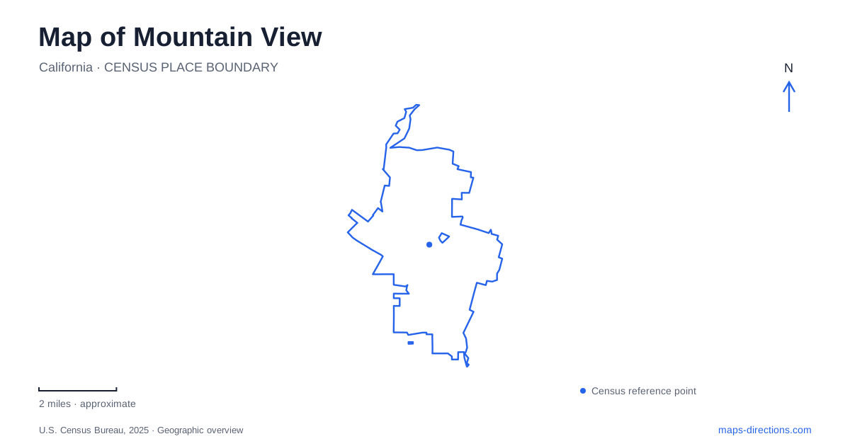
Street tiles load from OpenStreetMap when opened. The blue line shows the 2025 Census boundary.
- State
- California
- Population · July 2025
- 85,438
- Land area
- 12.0 sq mi
- Water area
- 0.3 sq mi
Mountain View's map records several different eras of movement and land use. Castro Street provides a pedestrian-oriented downtown spine; rail stations connect the city with the Peninsula; creek trails run toward Shoreline; and the bayside recreation landscape occupies ground with an industrial and landfill history. Reading those layers together explains why the city cannot be understood solely through its office addresses or freeway approaches. Its public spaces and travel corridors form an equally important part of the local geography.
Three downtown blocks change the street's role
The city established pedestrian malls on Castro Street between West Evelyn Avenue and Villa Street, between Villa and West Dana Street, and between West Dana and California Street. Those three consecutive sections give the downtown a clear walking axis. They also mean that the familiar continuous street line does not represent continuous ordinary vehicle access through the entire commercial core.
For a Mountain View downtown visit, locate the business along that sequence of cross streets. Villa, Dana and California provide useful ways to divide the pedestrian area into manageable blocks. A destination near one end may relate to a different approach from a destination near the other. The map's value here lies in showing the relationship between the pedestrian spine and the surrounding street network, rather than pretending the two serve identical purposes.
Rail names identify distinct places and services
Caltrain lists San Antonio and the city-named station as separate stops in its Peninsula network. VTA also identifies a light-rail station at the latter location. This creates two distinctions for a traveler: which Mountain View station best relates to the destination, and which rail service is being used. A common station area does not make commuter rail and light rail the same service.
Use the operator and station name together when describing a journey. A regional rail diagram is useful for the order of stops, while the local street map explains the destination beyond the platform. Neither view needs to reproduce the other's detail. Keeping them separate makes a transfer or onward walk easier to plan without loading an entire regional journey into one crowded city-scale map.
Shoreline is a constructed landscape with living habitat
The city explains that Shoreline's closed landfill now supports recreation and wildlife habitat. The former disposal site still requires monitoring and maintenance, including systems that collect landfill gas and liquid. That history is not obvious from a conventional green park polygon. It helps explain why apparently open land can contain operational infrastructure as well as trails and recreation facilities.
This gives the Mountain View bayside map a distinctive character. The landscape is neither untouched marshland nor simply an urban lawn. It is a managed environment whose present public use sits over earlier land-use decisions. Stay within designated visitor areas and interpret service roads as infrastructure rather than as invitations to explore every visible paved line. The historical layer adds context without changing the function of the public routes shown on the map.
Creek trails approach the recreation area
The municipal Shoreline guide identifies Stevens Creek Trail, Permanente Creek Trail and the Bay Trail as ways to reach the recreation landscape on foot or by bicycle. These are separate named corridors, so their labels matter when deciding which part of the city an outing should connect with. A route following one creek should not be assumed to continue along the other merely because both eventually serve Shoreline.
The city's trail information separately identifies underpasses associated with US 101, State Route 85 and Amphitheatre Parkway. Such structures reveal how the trail network negotiates large roads. At city scale the routes may appear to cross simply; at a closer scale the vertical separation becomes important. A walker or cyclist follows the trail connection, while a driver uses the street system rather than the same apparent intersection.
A Victorian house supplies another bayside layer
Rengstorff House stands at 3070 North Shoreline Boulevard within the recreation area. The municipal visitor description identifies the restored house, gardens, windmill and replica tank house. The city's historical context statement records that the house was moved to Shoreline in 1980. Its present location therefore represents preservation and relocation, not an unchanged nineteenth-century parcel.
For Mountain View history, that is a useful distinction: a historic building can survive in a landscape whose surrounding uses have changed dramatically. The house, creek corridors and managed former landfill tell different parts of that transformation. Together with Castro Street and the rail network, they provide a map organized around actual local relationships—downtown walking, regional transport and bayside recreation—rather than a collection of unrelated destination pins.
Map and statistics: U.S. Census Bureau, 2025 Gazetteer, January 2025 generalized place boundaries and Vintage 2025 population estimates. Local references: City of Mountain View; Caltrain; VTA. Article prepared by Maps & Directions.