Map of Mount Vernon
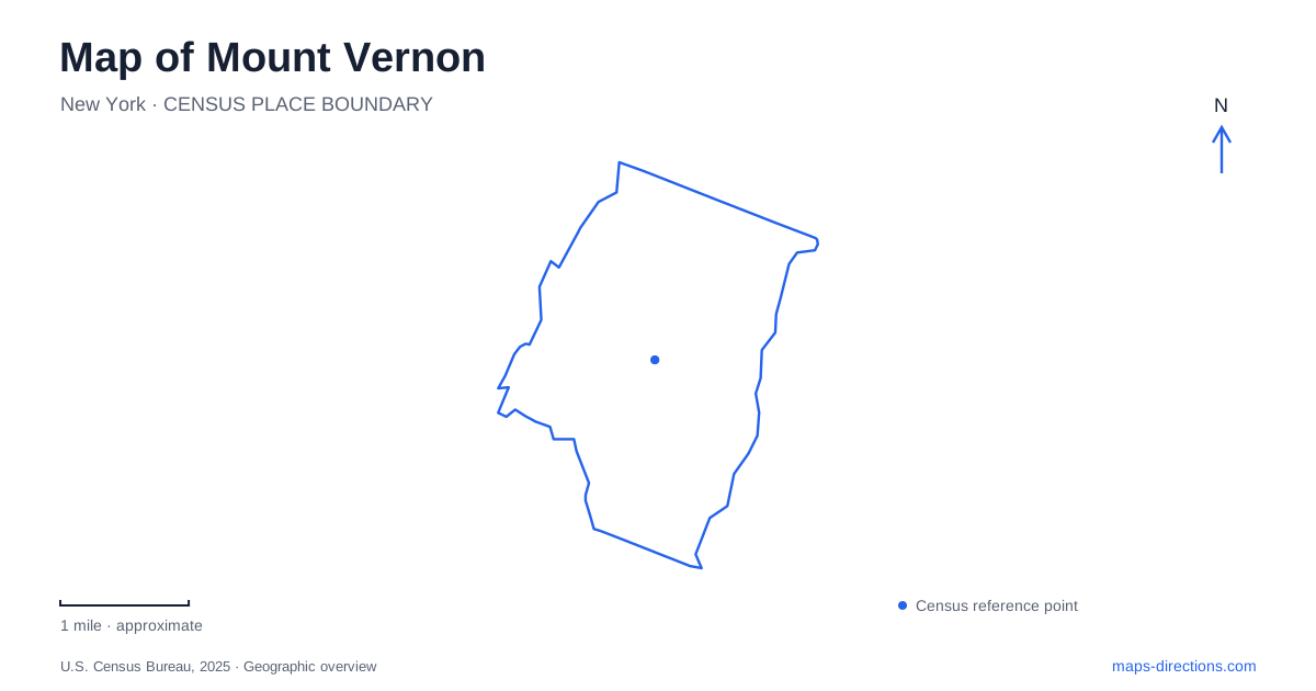
Street tiles load from OpenStreetMap when opened. The blue line shows the 2025 Census boundary.
- State
- New York
- Population · July 2025
- 72,304
- Land area
- 4.4 sq mi
- Water area
- 0.0 sq mi
Mount Vernon, New York, combines commuter-rail neighborhoods with a much older colonial landscape preserved at Saint Paul's Church. The modern city contains several distinct arrival points and public spaces, while the church site recalls the village of Eastchester that preceded today's municipal geography. That layering makes names especially important. A station suffix, a historic village name, or a park's full title can identify a genuinely different part of the local map.
Two rail lines and three useful station names
Mount Vernon East is on Metro-North's New Haven Line. The West station belongs to the Harlem Line, which also serves Fleetwood. These are separate stations on different rail corridors, not opposite platforms of one downtown terminal. The distinction should be made before selecting a train, because the city name alone does not specify the appropriate line or arrival neighborhood.
Fleetwood provides a further reminder that a rail stop may be known by its neighborhood rather than the municipality. The MTA identifies it as a Harlem Line station and provides a station-area map, including its pedestrian access arrangements. For an outing involving several places, the station map and city street map answer different questions: one explains the rail arrival, while the other shows the onward local journey.
The rail network is a practical framework for understanding Mount Vernon. It divides the idea of arriving in the city into specific locations and helps explain why a destination's street address matters even when a train serves the general area.
Gramatan Avenue and a civic park
Hartley Park is listed by the city at 255 Gramatan Avenue. Its location places a public recreation and gathering space directly on an important named street. The city's event calendar records activities here including basketball and community health events, showing a park used for both recreation and neighborhood gatherings.
The park is useful as an urban reference point because it belongs to the everyday street network. It offers a different kind of destination from a historic site organized around guided interpretation or a county recreation complex with several distinct facilities. The surrounding avenue and nearby blocks remain part of the experience of reaching and using it.
Willson Woods and Pelham Lake
Westchester County's map of Willson Woods Park identifies Pelham Lake, picnic areas, a playground, a pavilion, a bathhouse, and the pool. Those features make the park a collection of recreation spaces rather than a single open lawn. The lake and swimming facility are separately labeled, so their functions should remain distinct when choosing where to spend time.
For a family gathering, the picnic-area number or pavilion can be the most useful reference. For an aquatic visit, the pool and bathhouse form the relevant group. The county's internal map provides this finer-grained view, while the broader city map explains how the park fits among surrounding neighborhoods. Together they distinguish a general park visit from an activity tied to one facility within it.
South Columbus Avenue and the old village
Saint Paul's Church National Historic Site is at 897 South Columbus Avenue. Although the address is now in Mount Vernon, the site's colonial history belongs to Eastchester. The church stood beside the old village green, where the 1733 election raised questions involving freedom of religion and the press.
Construction of the present stone and brick church began in 1763. It was unfinished when the Revolutionary War disrupted the area, and American, British, and Hessian forces used it as a hospital. The earlier wooden meetinghouse was dismantled for firewood during the conflict. These details explain why the surviving church should be read as both a religious building and a witness to military occupation.
The building was completed after the war, and its interior was restored in 1942 to reflect the eighteenth-century arrangement. The cemetery extends the historical setting beyond the church walls, with burials dating from 1704. It is therefore an essential part of the site, not simply landscaped space around the principal building.
People within the historic landscape
Among those buried at Saint Paul's is Rebecca Turner, who was born into slavery in 1781 and gained freedom in 1810. The National Park Service connects her life with the nearby community, and a local elementary school carries her name. Other graves include people associated with medicine, painting, and the stage, allowing the cemetery to connect national history with individual lives.
These different places give Mount Vernon a layered map: rail corridors organize modern travel, Gramatan Avenue anchors a neighborhood park, Willson Woods groups recreation around water, and South Columbus Avenue preserves a colonial village setting. The city becomes easier to understand when those historical and contemporary geographies remain visible together.
Map and statistics: U.S. Census Bureau, 2025 Gazetteer, January 2025 generalized place boundaries and Vintage 2025 population estimates. Local references: Metropolitan Transportation Authority; City of Mount Vernon; Westchester County Parks; National Park Service. Article prepared by Maps & Directions.