Map of Mount Prospect
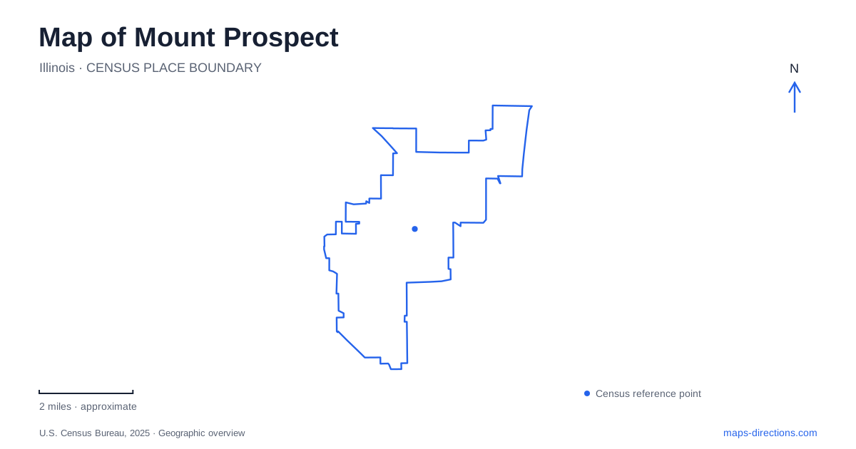
Street tiles load from OpenStreetMap when opened. The blue line shows the 2025 Census boundary.
- State
- Illinois
- Population · July 2025
- 55,395
- Land area
- 10.7 sq mi
- Water area
- 0.0 sq mi
Mount Prospect has several distinct centers rather than one commercial strip serving every trip. Downtown follows the railway and Northwest Highway, Randhurst forms a separate shopping destination around the northern road network, and the southern portion reaches toward Interstate 90. Understanding those three areas is more useful than treating the village as a uniform patch between Chicago and its northwest suburbs. The transportation lines explain how different parts fit together, while historic buildings and recreation grounds give individual neighborhoods their own landmarks.
The railway and the civic center
Northwest Highway is the principal diagonal reference through the older center. The railway corridor runs through the central village, giving downtown a relationship to the wider commuter network that differs from the highway access farther south. Main Street, Central Road, and the smaller streets around Emerson and Maple help locate the civic and historic destinations within that setting. Follow those named streets at neighborhood scale instead of assuming that every major road runs neatly north to south.
Village Hall stands at 50 South Emerson Street, and the main public library is at 10 South Emerson. The historical society dates the present municipal building to 2004, although village government had already been based on Emerson since the 1970s. These addresses make Emerson a useful civic reference. They also show that an administrative trip can be focused on a few downtown blocks rather than the more extensive retail area at Randhurst.
A house and school on South Maple
The historic campus at 101 South Maple Street offers a concentrated view of Mount Prospect before its later suburban expansion. Its Dietrich Friedrichs house dates to 1906. The same campus includes the 1896 Central School and the Dolores Haugh Education Center. The school moved here in 2008 and opened after restoration in 2017, so its present position is part of a preservation project rather than the original school-site geography.
That distinction is useful when comparing old and modern maps. A surviving building can document an earlier community even after relocation. Here, the residential house and one-room school bring domestic life and public education together within one visit. The historical society arranges tours, making this a specific museum destination on South Maple rather than simply a collection of historic exterior façades distributed across the village.
Randhurst and the northern triangle
The road arrangement around Randhurst is one of the most distinctive features on a map of Mount Prospect. Rand Road, Illinois Route 83, and Kensington Road form three closely spaced intersections rather than one conventional crossing. The village's engineering drawings label Route 83 as Elmhurst Road on one segment and Main Street on another. Following the route number as well as the street name makes this junction easier to interpret.
Randhurst lies beside that triangle. The original enclosed shopping center opened in 1962; the indoor structure closed in 2008, and the outdoor redevelopment followed in 2011. This history accounts for the difference between older references to a mall and the present arrangement of buildings and circulation. Village improvement plans have considered changes to the surrounding intersections. Design drawings document those proposals; use signed roads and the village's traffic guidance to identify the actual approach to the shopping area.
The southern corridors near the tollway
South Mount Prospect has a different regional orientation. The village's subarea plan describes land south of Golf Road, west of Elmhurst Road, and north of Interstate 90. Algonquin Road, Busse Road, Dempster Street, Oakton Street, Golf Road, and Elmhurst Road form the important local framework. The plan also places this district near O'Hare International Airport, while locating the commuter railway farther north in the central village.
This geography matters when choosing an arrival route. A destination on Oakton or Algonquin belongs to a southern network connected to the tollway, whereas a downtown appointment belongs to the rail and Northwest Highway center. Looking first at the destination's position relative to Golf Road helps separate these two journey patterns without forcing every route through the historic core.
Recreation beyond the downtown blocks
Melas Park gives the western Central Road corridor a major recreation landmark at 1500 West Central Road. Its Canine Commons is jointly operated by the local and Arlington Heights park districts, with separate enclosures for smaller and larger dogs. Access requires membership. The shared operation is a useful reminder that recreation service areas can cross the municipal distinctions shown on a road map.
A practical map of Mount Prospect should retain all these layers: the central railway, Emerson's civic addresses, South Maple's historic campus, the Randhurst triangle, and the southern tollway corridors. Together they reveal a community shaped by several periods of development. Choosing the relevant district first allows the surrounding street pattern to explain the trip, rather than letting one familiar landmark stand in for the entire village.
Map and statistics: U.S. Census Bureau, 2025 Gazetteer, January 2025 generalized place boundaries and Vintage 2025 population estimates. Local references: Village of Mount Prospect; Mount Prospect Historical Society; Arlington Heights Park District. Article prepared by Maps & Directions.