Map of Mooresville
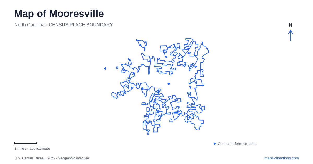
Street tiles load from OpenStreetMap when opened. The blue line shows the 2025 Census boundary.
- State
- North Carolina
- Population · July 2025
- 55,842
- Land area
- 27.6 sq mi
- Water area
- 0.1 sq mi
Mooresville has several centers of activity rather than one destination that explains the whole town. The historic depot organizes downtown around Main Street and Center Avenue. Liberty Park adds a public gathering place nearby, while larger recreation grounds and racing facilities occupy separate sites. Interstate 77 and the roads toward Lake Norman introduce another regional orientation. A useful map keeps these settings distinct, allowing a visit to combine them deliberately instead of treating the downtown, lake area, and motorsports destinations as one compact district.
The depot at the center of town
The railroad depot gives Mooresville a particularly clear historic anchor. When the town incorporated in 1873, its limits were measured in a one-mile radius from the depot. That choice explains why the building remains more than an old transportation structure: it was a reference point for defining the community itself. Main Street, Broad Street, and the tracks developed in close relationship around that center.
The depot now houses a visual arts organization at 103 West Center Avenue, at the corner with North Main Street. Exhibitions, a gallery shop, and classes bring a contemporary public use into the former railroad setting. A visit can therefore combine the building's place in the town plan with the work of present-day artists. The reuse also keeps the old center active without requiring it to retain its original transportation function.
A downtown walking tour adds details at the scale of individual blocks. The local museum identifies the former Merchants and Farmers Bank at Moore and Main, opened in 1907, among its stops. That intersection gives another tangible reference for understanding the commercial town that grew around the railroad. The depot and bank together suggest how movement, trade, and finance shaped the central streets.
Liberty Park and the community landscape
Liberty Park is at 255 East Iredell Avenue. Its modern form includes a band shell, event lawn, walking paths, and public art, developed through the town's revitalization work. The park's position near downtown makes it a different kind of outing from a trip to the larger athletic complexes farther away. It can be part of a central visit without shifting the focus entirely to a regional sports destination.
The park's history began behind the War Memorial community building and expanded across the creek toward its present setting. That progression is a useful piece of local geography: the park did not appear as an isolated recreation parcel, but grew from an existing public center and across a watercourse. The creek and adjoining grounds help explain its shape within the town.
For visitors to Mooresville, Liberty Park works particularly well as a complement to the depot district. Indoor art, historic commercial buildings, and outdoor gathering space offer different activities within the broader central area. Event days bring their own arrangements, while an ordinary park visit has a simpler focus on paths and open space.
Racing beyond Main Street
The Race City USA identity appears in both downtown interpretation and separate motorsports properties. The tourism bureau identifies an auto racing Walk of Fame downtown, while working race shops occupy other locations. This distinction matters when choosing an outing: a walk through the central streets and a visit to a team's facility are different experiences, even though both relate to racing.
Team Penske's public retail store and Fan Walk are at 200 Penske Way. The operator lists weekday public access, making the location a specific stop to schedule rather than an attraction to assume is available throughout a weekend. The broader facility reused buildings formerly occupied by a compressor manufacturer. That history adds another layer to the motorsports landscape, showing how an industrial property became part of the region's racing economy.
A map of Mooresville can reveal this side of the town through the relationship between visitor destinations and working facilities. Racing here is represented by places of production as well as commemorative displays. Selecting the operator's actual public destination keeps that distinction clear.
Larger parks and the lakeward corridors
Mazeppa Park occupies a much larger recreation landscape than the downtown green space. The town describes a 163-acre park roughly five miles from downtown, with athletic fields and more than six miles of mountain biking trails. Its scale supports a dedicated sports or trail outing rather than a short pause between Main Street shops.
Lake Norman adds another direction to regional planning. The town's comprehensive plan describes the Cornelius Road corridor between the lake and US 21, while the Alcove Road area relates to the Interstate 77 interchanges at Langtree and Williamson roads. These named corridors help locate the lakeward side without implying that every road ending near water provides public shoreline access.
Mooresville is easiest to explore by choosing a center for each part of the day: the depot district for town history and art, Liberty Park for a central outdoor stop, a named racing facility for motorsports, or a larger park for recreation. The roads between them then become understandable connections within a varied local landscape.
Map and statistics: U.S. Census Bureau, 2025 Gazetteer, January 2025 generalized place boundaries and Vintage 2025 population estimates. Local references: Mooresville Arts; Mooresville Museum; Town of Mooresville; Visit Mooresville; Team Penske. Article prepared by Maps & Directions.