Map of Moore
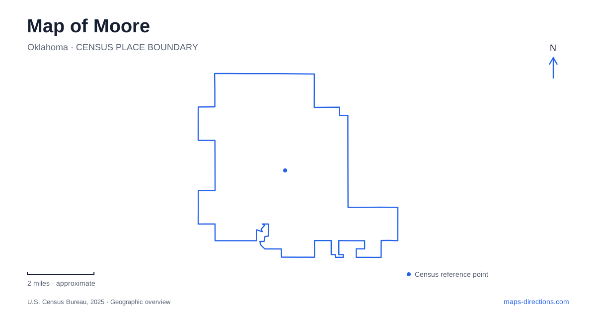
Street tiles load from OpenStreetMap when opened. The blue line shows the 2025 Census boundary.
- State
- Oklahoma
- Population · July 2025
- 63,609
- Land area
- 22.1 sq mi
- Water area
- 0.2 sq mi
Moore's local map makes more sense when the railroad and Interstate 35 are read as different layers of development. Old Town grew around an early rail stop, while later commercial activity followed the highway corridor. Broadway, Main Street and the numbered streets connect those layers with public buildings and recreation areas. The result is a city whose historic center, busiest regional road and largest public gathering spaces do not all occupy the same point.
Old Town sits around Main and Broadway
The city's Old Town revitalization plan locates the historic district east of I-35 around Main Street and Broadway. Its historical account describes the north-south railroad built in 1887 and the earlier stop known as Verbeck. It also explains a shift in the commercial center: after a fire damaged the original downtown east of the tracks, reconstruction favored Main and Broadway on the western side.
That distinction matters when reading Moore's old maps. The railroad was not simply a line passing through an otherwise fixed downtown. Its crossings, the location of early businesses and the later interurban route influenced which blocks became commercially important. An old photograph facing the tracks may describe a different focus of activity from a present-day street view.
The plan also connects I-35's construction with commercial growth farther west along Main Street. This history supplies a concrete reason to distinguish Old Town from the highway-facing business corridor, even when both appear within the same broad central area.
Broadway links civic life with Central Park
The city's comprehensive plan identifies Old Town as a civic center and places Central Park and The Station just to its south. City Hall uses 301 North Broadway, while Central Park's published address is 700 South Broadway Avenue. The street name joins those destinations, but the north and south designations preserve their separate positions.
This gives Broadway a role beyond carrying traffic. It ties the historic district's public institutions to a substantial recreation setting. A detailed map can show the transition from the Main Street area to the park without treating the whole corridor as one building complex. The city plan's discussion of public investment helps explain why modern civic facilities sit close to an older commercial and residential district.
For Moore, Central Park is a particularly clear example of a destination with several internal places. The park directory describes an amphitheater beside a man-made lake, a multipurpose pavilion and a train-themed playground designed for inclusive play. Those facilities represent different activities within the same property.
The park's name and its paths describe different scales
The municipal trail listing separates the longer Park Trail from the shorter Lake Trail. The first follows the larger recreation landscape; the second relates to the water feature. That distinction is useful when comparing a park outline with a route someone intends to walk. The outline describes the property, while named paths describe movement within it.
The Station is the recreation and aquatic complex associated with Central Park. Despite its railway-inspired name and the park's train-themed playground, it should be identified by its recreation function. A reader looking for a workout, an indoor program or a public event needs the facility within the park, rather than assuming that every station label represents a passenger rail stop.
The civic setting therefore contains several nested scales: Broadway as a street corridor, Central Park as a large public site, and the pavilion, amphitheater, trails and recreation building as specific destinations.
Fourth Street's rail crossing and street connections
The railroad still affects east-west movement through the center. The city is constructing a Fourth Street underpass in cooperation with the state transportation department and BNSF. Its published project area lies between Broadway Avenue and Tower Road. Updates describe a temporary railway detour, a new railway bridge and work on drainage and retaining walls.
Moore's underpass project illustrates the difference between an intended connection and a route that a traveler can use. Construction drawings explain how the crossing relates to Fourth Street, but they do not serve as road-access notices. If a journey depends on that crossing, consult the city's traffic guidance and follow signed public routes. An opening forecast in an older project description should never be treated as proof that access has been established.
Little River adds a landscape beyond the central civic corridor
Little River Park has separately listed north and south areas. The municipal directory places the north area at 700 Southwest Fourth Street and the south area at 801 Southwest Tenth Street. It describes ponds, walking trails, playgrounds and other recreation facilities across those locations. The two addresses are a more precise guide than a single park label spread across a large green area.
The city's disaster-recovery records also document detention ponds and channel improvements along Little River. That engineering history adds context to the water and open ground visible on the map. The landscape performs drainage functions as well as providing recreation, so its channels and ponds are not merely decorative park features.
A map of Moore can bring these relationships together without flattening their differences: the railroad explains Old Town, Broadway connects civic destinations, the Fourth Street project changes a crossing, and Little River combines recreation with water management. Those local relationships are the most useful foundation for understanding the streets and public spaces.
Map and statistics: U.S. Census Bureau, 2025 Gazetteer, January 2025 generalized place boundaries and Vintage 2025 population estimates. Local references: City of Moore. Article prepared by Maps & Directions.