Map of Montgomery
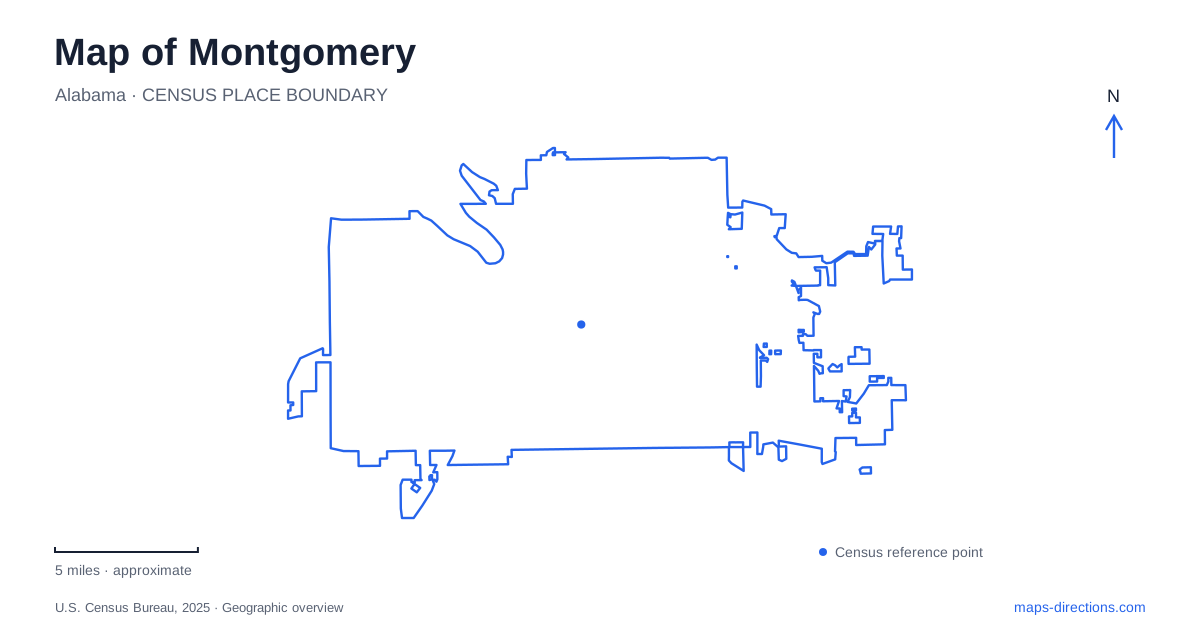
Street tiles load from OpenStreetMap when opened. The blue line shows the 2025 Census boundary.
- State
- Alabama
- Population · July 2025
- 195,300
- Land area
- 159.9 sq mi
- Water area
- 2.4 sq mi
A map of Montgomery connects government, transportation and civil rights history within a relatively concentrated downtown landscape. Dexter Avenue rises toward the Alabama State Capitol, while the Alabama River and nearby rail lines reveal an older geography of commerce and forced movement. Museums and memorials interpret these places from different perspectives. Understanding their actual relationships is more useful than arranging them as an interchangeable list of attractions: a church, an arrest site, a government building and a riverbank each carry a different part of the story.
Dexter Avenue and the hilltop Capitol
The Alabama State Capitol stands at 600 Dexter Avenue, overlooking downtown from its hilltop setting. It remains a working building with offices for the governor and other executive officials, alongside its role as a museum of state history and politics. Its prominent position gives the avenue a clear visual destination.
That physical arrangement became nationally significant on March 25, 1965, when the voting-rights march from Selma reached the Capitol. The final procession passed Dexter Avenue Baptist Church before the concluding rally. Marchers were not allowed onto the Capitol steps, so speakers used a flatbed truck as a platform in front of them. The distinction between reaching the building and being admitted onto its steps is an important part of understanding the event.
The broad avenue and elevated government building thus form more than an architectural composition. Their relationship shows how a public demand for political rights was brought directly before the institution representing state power.
A church within the organizing network
Dexter Avenue King Memorial Baptist Church stands at 454 Dexter Avenue. Martin Luther King Jr. served as its pastor from 1954 to 1960, and the congregation played a central role in the Montgomery bus boycott of 1955–1956. Its location close to the Capitol makes the proximity of religious organizing and political authority particularly visible.
The church's significance is not limited to one famous speaker. It belonged to a network of congregations, organizers and households capable of sustaining collective action. Seen on the street rather than only in a photograph, the building helps explain how that organizing occupied everyday urban places. Its historic identity and current visitor arrangements are separate matters, so an interior visit requires checking the church's own program rather than assuming museum-style access.
Transportation history at the arrest site
Troy University's Rosa Parks Museum stands at 252 Montgomery Street, at the location associated with Parks's arrest. The nearby Children's Wing occupies number 220 on the same street. These adjacent facilities approach the history through different exhibits and educational experiences.
The collection includes Parks's fingerprint arrest record, period transportation artifacts, court documents and a station wagon associated with the boycott's carpool system. The carpool vehicle is especially revealing for a map-oriented visit. Refusing segregated buses required a practical replacement for journeys to work, school and other daily destinations; walking and shared rides turned protest into a sustained transportation network.
That perspective moves the story beyond a single encounter aboard a bus. The museum interprets both the act of refusal and the organized effort that followed, allowing visitors to connect an exact urban location with a much wider pattern of movement across the community.
Separate addresses within the Legacy Sites
The Equal Justice Initiative's Legacy Sites extend the historical journey across several properties. The Legacy Museum is at 400 North Court Street; the National Memorial for Peace and Justice is at 417 Caroline Street; Freedom Monument Sculpture Park is at 831 Walker Street. Montgomery Square is a further site within the same visitor program.
The operator provides shuttles between locations, and the sculpture park can also be approached through a boat experience departing from 101 Morris Street. These connections matter because a single ticketing program does not mean a single campus. The museum's indoor galleries, the memorial's outdoor setting and the riverfront sculpture landscape call for movement between places as well as time within them.
The addresses also show why the river should remain visible while planning. It is not merely scenery at the edge of downtown; it becomes part of the route and part of the interpretation.
The Alabama River as historical evidence
Freedom Monument Sculpture Park occupies seventeen acres beside the Alabama River. Its art and artifacts address the lives of enslaved people, including those trafficked through the region by water and rail. Original dwellings and a rail car used to interpret forced transportation bring the scale of that history into a physical landscape.
The National Monument to Freedom at the park honors people emancipated after the Civil War through family names recorded in the 1870 census. The setting joins remembrance to the river and tracks that helped move enslaved people into the Deep South. For a Montgomery visit, this makes the waterfront a place to examine the consequences of transportation systems, not simply their engineering. The same map that guides a modern journey can reveal how movement was once controlled, denied or forced, and how collective action later challenged those conditions.
Map and statistics: U.S. Census Bureau, 2025 Gazetteer, January 2025 generalized place boundaries and Vintage 2025 population estimates. Local references: Alabama Historical Commission; National Park Service; Troy University; Equal Justice Initiative. Article prepared by Maps & Directions.