Map of Monterey Park
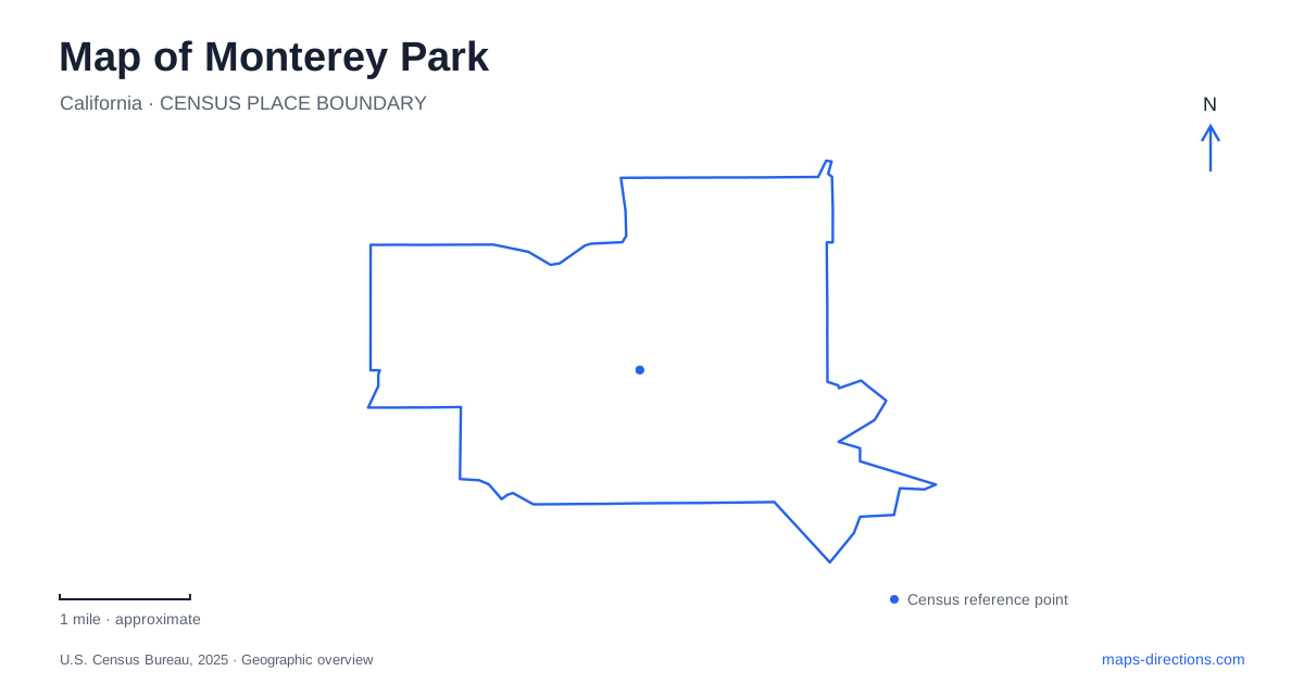
Street tiles load from OpenStreetMap when opened. The blue line shows the 2025 Census boundary.
- State
- California
- Population · July 2025
- 57,457
- Land area
- 7.7 sq mi
- Water area
- 0.1 sq mi
Monterey Park is not a uniformly flat extension of the surrounding street grid. The Garvey and Monterey hills influenced where earlier neighborhoods developed, and the city history describes them as a barrier between northern and southern settlement areas before later subdivisions filled more of the central land. Garvey Avenue, Atlantic Boulevard, Garfield Avenue and the roads around the parks provide a useful framework, but slopes and hillside landmarks are equally important. The Cascades make that terrain visible, turning a change in elevation into one of the city's best-known historic features.
The Cascades and an unfinished development vision
Cascades Park is listed at 700 South Atlantic Boulevard. Its stepped waterfall and landscaped setting originated with the Midwick View Estates project during the 1920s. The nearby Spanish-style Jardin del Encanto building was intended as an administrative and community center for that development.
The hillside in Monterey Park was also supposed to contain an amphitheater above Kingsford Street. That part of the plan was never built, but an observation terrace and the descending water feature survived. The Depression interrupted the larger real estate vision, leaving a landmark that records both what was constructed and what remained unrealized.
This history makes the Cascades an especially useful place to read the local landscape. The feature is not simply decoration applied to flat parkland; its sequence of pools depends on the hillside. Viewing the terrace, slope and lower landscape together explains its design. The city's facility description presents the park as a small, largely passive setting with walking and picnic opportunities, rather than a major sports complex.
Garvey Ranch's two sides
Garvey Ranch Park brings history, astronomy and everyday recreation together in Monterey Park. The city lists its principal address at 781 South Orange Avenue. This eastern approach is closer to the historical museum, observatory, community room, larger playground and picnic facilities.
A second parking area is listed at 751 South Alhambra Avenue on the western side, near the smaller playground and larger baseball diamond. These addresses describe a real distinction within the grounds. A family arriving for a museum visit and a team gathering for baseball have different useful approaches even though both invitations may simply say Garvey Ranch.
The observatory is operated by the Los Angeles Astronomical Society, giving the park an educational role beyond its playing fields and courts. Tennis facilities lie along Orange Avenue near Metro Drive. This distribution makes the street edges informative: Orange Avenue relates closely to the cultural and court facilities, while the western approach serves another concentration of recreation. The park's name covers all of these activities, but the individual destination determines which side is most convenient.
Civic buildings and walking routes
Barnes Park belongs to Monterey Park's civic landscape. The community center is at 350 South McPherrin Avenue, while the Memorial Bowl is identified at Ramona and Harding avenues. City Hall is nearby at 320 West Newmark Avenue. These separate addresses show how public functions are distributed around the park rather than concentrated in one building.
The city publishes walking-route information for Barnes Park, Edison Trails Park and Highlands Park. Those maps give approximate distances and difficulty levels, helping visitors choose a route that suits the outing. The availability of such information is particularly relevant in a city where the hills interrupt an otherwise familiar urban street pattern.
Edison Trails Park is at 1600 South Garfield Avenue. It includes a hiking trail, picnic facilities, restrooms and a playground. A visit here has a different emphasis from the Cascades or the observatory: walking and family recreation share the site, without requiring an interest in a historic building or scheduled astronomy program. Garfield Avenue provides the clear road reference for reaching that combination.
The college on Avenida Cesar Chavez
East Los Angeles College has its main campus at 1301 Avenida Cesar Chavez in Monterey Park. The institution's regional name can make its municipal location less obvious, so the campus address is worth retaining when planning a visit.
The college map places Floral Drive along the north, Bleakwood Avenue to the west and Collegian Avenue to the east. It also distinguishes Weingart Stadium, the library, student services, parking structures and the Vincent Price Art Museum. These are separate destinations within a substantial campus, each connected to a different part of the internal route network.
The campus map is therefore useful for choosing how an outing begins. A museum visit can focus on the southern arts area, while a stadium event draws attention toward the northern grounds by Floral Drive. Alongside the hillside Cascades, the mixed uses of Garvey Ranch and the civic park setting, the college adds another clear district to a local map whose most useful details emerge at the scale of individual streets and grounds.
Map and statistics: U.S. Census Bureau, 2025 Gazetteer, January 2025 generalized place boundaries and Vintage 2025 population estimates. Local references: City of Monterey Park; East Los Angeles College. Article prepared by Maps & Directions.