Map of Montebello
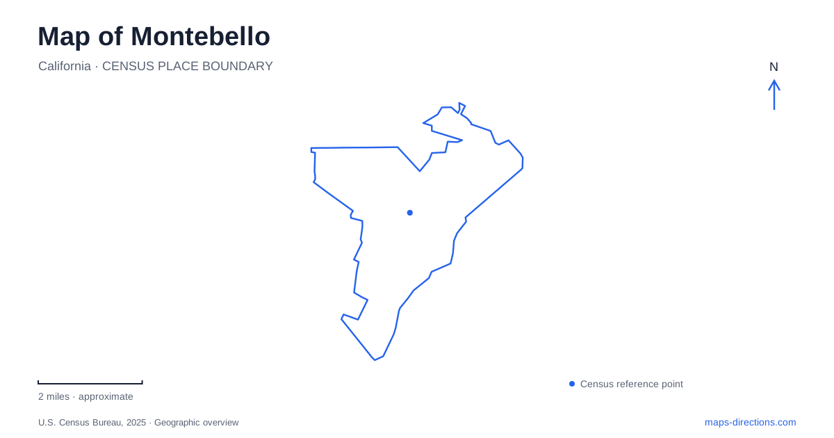
Street tiles load from OpenStreetMap when opened. The blue line shows the 2025 Census boundary.
- State
- California
- Population · July 2025
- 60,693
- Land area
- 8.3 sq mi
- Water area
- 0.0 sq mi
Montebello's public places are spread across several recognizable corridors. Whittier Boulevard locates City Park, Beverly Boulevard leads toward the Rio Hondo edge, and Flotilla Street identifies the regional rail station. The historic Sanchez Adobe adds a much older landmark on the eastern side. Together these places reveal a city whose geography includes neighborhood parks, a river channel, historic ranch land, and transportation infrastructure rather than one compact collection of visitor attractions.
Beverly Boulevard reaches the Rio Hondo
Beverly Boulevard crosses the Rio Hondo channel at the city's eastern side, in the area adjoining Pico Rivera. County project documentation identifies the bridge and channel together, making this a useful boundary reference. The river corridor is a substantial feature in the urban landscape even where its engineered form differs from a natural wooded stream.
Grant Rea Park is nearby on Rea Drive. Its fields, play areas, recreation building, and animal attraction give the park several distinct activity spaces. The city's park planning documents describe it as a large municipal recreation ground, with the Barnyard Zoo occupying one part of that setting. The park is therefore a destination with an internal layout, not simply a lawn beside a named street.
A map of Montebello becomes more informative when the park and river are shown together. The city's river-access project identifies connections among the Rio Hondo entrance, Beverly Boulevard, and Grant Rea Park. Those relationships explain why the park and channel often appear in the same local discussion. The road provides the approach, the park supplies recreation grounds, and the river corridor introduces a longer geographic line extending beyond the immediate neighborhood.
Whittier Boulevard and the southern recreation sites
City Park is at 1301 West Whittier Boulevard. Its name can sound like a generic reference to any municipal park, but it is a particular destination with a particular street address. Ashiya Park, by contrast, is on West Beverly Boulevard. Keeping the park names paired with their corridors establishes two separate locations within the city's public-space network.
Farther into the southern street network, Chet Holifield Park is on South Greenwood Avenue. Its ballfields, basketball courts, pool, and recreation space give it a different collection of facilities from the smaller Beverly Boulevard park. The George Hensel Aquatic Center is separately listed on West Olympic Boulevard. These are useful distinctions for an outing organized around swimming or a sports program, because similar activity descriptions can refer to different sites.
For families exploring Montebello, the key is the arrangement of facilities across the road network. Whittier, Beverly, Greenwood, and Olympic each identify a different setting. The municipal park system is distributed among neighborhoods; it is not one large campus where all recreation buildings share the same grounds. A broad map should retain those corridor names before a closer view concentrates on a specific field or building.
An adobe on the eastern edge
The Juan Matias Sanchez Adobe stands at 946 North Adobe Avenue. The National Park Service identifies it as the oldest surviving home in the area and places it on the eastern edge of the city. Its history reaches back to Rancho La Merced, a Mexican land grant made to Casilda Soto de Lobo in 1844.
The building's association with the Old Spanish National Historic Trail comes through William Workman, who traveled to California with the Rowland–Workman party. Covered walkways around the adobe retain elements of Spanish and Mexican architectural traditions, despite later alterations. These details explain why a relatively quiet residential-street destination appears on a map of a much larger historic trail.
The adobe gives Montebello a historical reference separate from the modern park and commercial corridors. It is a surviving place associated with earlier land ownership and settlement, while the surrounding street network reflects subsequent urban development. Reading those two layers together makes its location more meaningful than treating it as an isolated museum pin.
The regional station has its own address
The Metrolink station on Flotilla Street carries the combined city-and-Commerce name and serves the Riverside Line. Its location at 2000 Flotilla is distinct from the City Park corridor and from the adobe. The neighboring City of Commerce also identifies a separate station served by the Orange County Line, so shortening the station name to the neighboring city's name can create real confusion.
For a regional arrival, the full station identity and Flotilla Street address establish the correct starting point. From there, a local map can relate the trip to Whittier Boulevard, Beverly Boulevard, or North Adobe Avenue. This final distinction brings the geography into focus: Montebello contains several destination districts, and their names, roads, and historical roles are most useful when read together rather than compressed into one generalized center.
Map and statistics: U.S. Census Bureau, 2025 Gazetteer, January 2025 generalized place boundaries and Vintage 2025 population estimates. Local references: Los Angeles County; City of Montebello; City of Montebello via California CEQAnet; National Park Service; Metrolink; City of Commerce. Article prepared by Maps & Directions.