Map of Montana
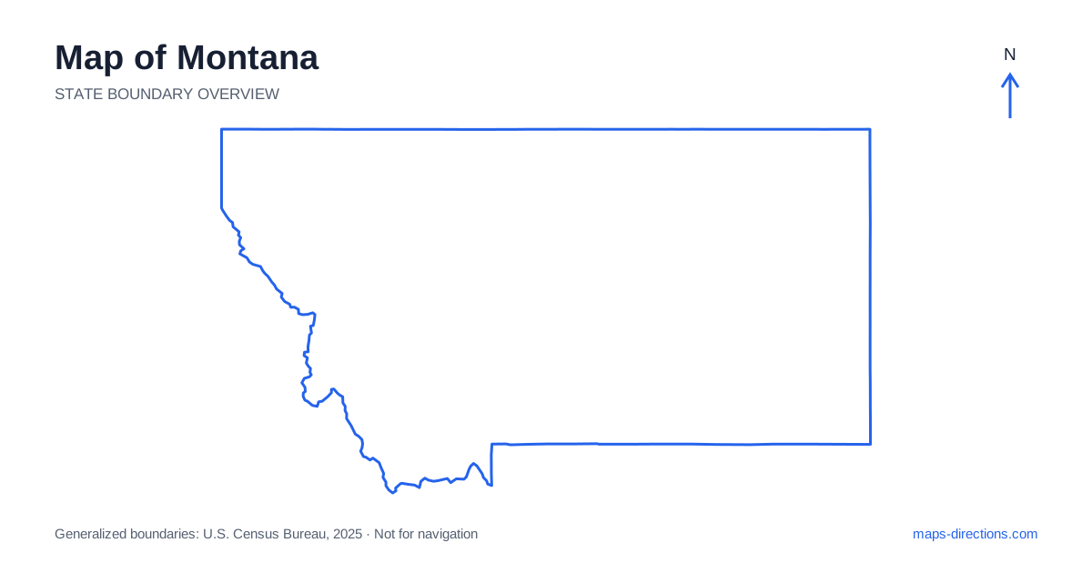
Montana stretches from Rocky Mountain country in the west to broad plains in the east. Missoula, Helena, Great Falls, Bozeman and Billings anchor different parts of that large area. The outline is easy to recognize, but its size and terrain make a single-city base unsuitable for many statewide plans. Begin by deciding whether the journey follows western valleys, crosses the central corridor or continues into the eastern plains. That decision gives the map a useful scale before individual parks, towns and scenic detours are added.
Understand the west-to-east change in terrain
Western Montana contains mountain ranges separated by valleys, while the eastern part opens into wider plains and river country. The Continental Divide is an important organizing feature of the western landscape. Roads cross it at particular passes, so a short distance between labels on opposite sides of a range may not indicate a short road journey.
Use a terrain view to identify the valley containing the destination and the corridor that reaches it. A scenic place west of a ridge can have a different approach from a town that appears immediately east of it. This matters when arranging a loop: the route should follow real crossings rather than closing a shape on the map with a line over terrain that has no suitable road.
Place the capital and the main valley cities
Helena is the state capital and sits in the west-central region. Great Falls lies farther northeast along the Missouri River, while Missoula occupies a western valley setting. Butte and Bozeman are separate southern mountain-region cities with their own approaches. They should be placed individually before deciding which can share an overnight base or a single day's transfer.
Interstate 15 links important north-to-south connections through the Helena and Great Falls corridor, while Interstate 90 supplies a major east-to-west route through the southern and western regions. A city near one interstate may still require a separate connection to the other. Select the actual arrival address and trace its access road instead of treating the entire metropolitan label as a point directly on the main route.
Read the southern corridor beyond the mountain cities
Across southern Montana, Interstate 90 connects the Missoula, Butte, Bozeman and Billings regions through a sequence of changing landscapes. Billings is a major eastern-side urban anchor for this corridor, though much of the state continues beyond it. Interstate 94 branches toward the northeastern route through the Miles City and Glendive areas, creating another distinct long-distance connection.
A route that includes several of these places should show the overnight sequence clearly. The fact that cities share an interstate does not make them local neighbors. Optional visits away from the main corridor also need their approach and return legs included. A road leading toward a mountain valley or river access may occupy far more of the day than its short-looking line on the statewide overview suggests.
Treat park entrances as separate destinations
Glacier National Park lies in the northwestern region and has access areas on different sides of the mountains. A route to one side should not be substituted automatically for a route to another, particularly when a plan depends on a high-elevation through road. Choose the intended entrance and visitor destination before considering how it fits into a wider circuit.
Yellowstone lies mainly in neighboring Wyoming, with approaches from communities near the southern part of the state. Gardiner and West Yellowstone serve different entrances and road relationships. A general park-center pin hides those distinctions. The practical plan should identify the arrival gateway and the next overnight location separately, then check current access information for the intended dates rather than assuming every connection shown on an overview is available.
Give the eastern plains their own travel scale
Eastern Montana includes broad agricultural and rangeland landscapes, river valleys and towns separated by substantial open country. The Yellowstone River corridor is an important southern reference, while the Missouri River and its reservoirs shape other parts of the interior and northeast. These waterways help orient the map but do not provide bridges at every point where a road seems to approach them.
For a rural destination, locate the precise community and final access road before leaving the principal corridor in the plan. A reservoir shore or recreation area can be approached from a different direction than its nearest-looking town label suggests. Services and road surfaces should be checked for the actual route. The regular appearance of some plains roads does not establish that every possible shortcut is equally suitable for the intended vehicle or journey.
Build stages around valleys and overnight towns
A western mountain itinerary, a southern interstate journey and an eastern plains route each provide a coherent geographical focus. Combining them can produce a rewarding but extensive trip. Arrange overnight stops so that the route progresses through the regions, with major crossings and out-and-back detours made visible before optional stops fill the schedule.
For a Montana map to support a practical journey, keep the selected valley, park gateway or riverbank attached to each destination. Pair the statewide outline with closer terrain and road views for the final approach. This makes the difference between broad orientation and usable access clear. The resulting plan respects both the large distances across the plains and the concentrated road connections through the western mountains.