Map of Modesto
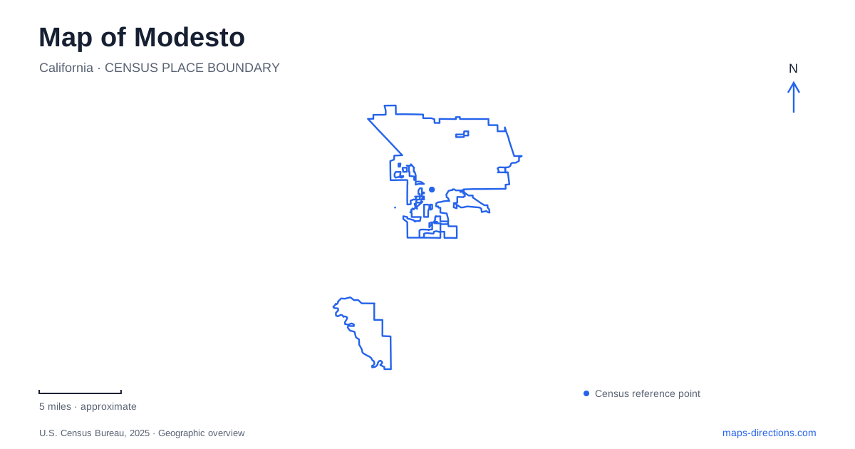
Street tiles load from OpenStreetMap when opened. The blue line shows the 2025 Census boundary.
- State
- California
- Population · July 2025
- 219,652
- Land area
- 43.4 sq mi
- Water area
- 1.8 sq mi
Modesto's downtown street pattern reflects its railroad origins, while the Tuolumne River and Dry Creek provide a different set of lines through the city. Historic buildings preserve evidence of agricultural prosperity, and converted transportation corridors now support walking and cycling. These features make the local map more than a grid of numbered and lettered streets: it records the interaction of rail access, irrigation, civic growth and river landscapes.
A railroad town's downtown geometry
The town was laid out in 1870 after the Central Pacific Railroad acquired land for a new settlement. Principal streets followed the railway alignment, maximizing access to the transportation corridor. That relationship helps explain downtown's orientation. The streets were organized around the railway's commercial importance rather than simply copied from a compass-aligned agricultural grid.
The arch at Ninth and I Streets dates to 1912. Erected to encourage commerce, it stands near the former Southern Pacific depot area and became an enduring downtown landmark. Its location is part of the same rail-centered history, even though it is now often encountered from a car or on foot. The arch marks a historic gateway into the commercial center rather than the entrance to a separate enclosed attraction.
Passenger rail geography has since changed. The current station at 1700 Held Drive opened in 1999, east of downtown, replacing the earlier passenger facility in Riverbank. The historic downtown depot and the present passenger station therefore belong to different locations and periods. This distinction is particularly useful when reading an older map of Modesto alongside modern train directions.
Two McHenry landmarks on I Street
McHenry Mansion occupies the corner of Fifteenth and I Streets. Robert and Matilda McHenry built the house in 1883, with architect Jeremiah Robinson designing it in the High Victorian Italianate style. Locally produced bricks were used in its construction. Its substantial domestic architecture expresses a different side of the town's development from the nearby commercial and railway buildings.
The McHenry Museum is at 1402 I Street. It interprets the history of Modesto and Stanislaus County through exhibits on Yokuts history, railroad settlement, irrigation, agriculture and everyday life. The mansion and museum share a family name and a street corridor, but they have different purposes: one preserves a particular historic home, while the other presents a broader regional story.
The museum's treatment of irrigation is especially relevant to the surrounding map. Agricultural land did not become productive solely because railway tracks reached it. Water delivery and crop development also shaped the region's economy, creating the conditions behind packing, processing and civic investment. The historic buildings are therefore connected with systems extending well beyond their individual downtown lots.
The Tuolumne parkway's regional scale
Tuolumne River Regional Park includes more than 500 acres of river frontage, stretching nearly seven miles from Mitchell Road to beyond Carpenter Road. It is administered through a joint authority involving the city, Stanislaus County and Ceres. This regional structure reflects the river's geography: the parkway serves a landscape that does not stop at a single municipal boundary.
Its six service areas include the Airport, Legion Park, Gallo/Mancini, Gateway, Dryden Golf Course and Carpenter Road areas. Those names divide a long corridor into recognizable sections. A single park marker cannot convey the full distribution of recreation and habitat along the river, and the parkway's extent should not be confused with a guarantee that every proposed trail or facility has been completed.
The Gateway parcel occupies the area between Highway 99 and the confluence of Dry Creek with the Tuolumne. That meeting of waterways is an important natural reference on a map of Modesto. It helps connect the river parkway with the creek landscape extending into other parts of the city. Floodplain protection and habitat restoration are part of the park's purpose alongside recreation.
A former railway becomes a neighborhood route
The Virginia Corridor Trailway follows the old Tidewater Southern Railway alignment from Needham Avenue toward Bangs Avenue. The city's published corridor description gives an overall length of 4.2 miles, while individual phases have added sections and facilities over time. Its railway origin explains the route's continuity through developed neighborhoods and its difference from a creek-following path.
Dry Creek provides another recreational corridor. Municipal improvements extended the Kewin Park trail connection toward La Loma Drive, linking neighborhood access with the wider creek trail. Here the watercourse, rather than a former railway, determines the underlying route.
These two kinds of linear space complement the river parkway and downtown streets. In Modesto, a historic rail alignment, a creek and a major river each generate a different way of moving through and understanding the city. Their shared presence makes transportation history and natural geography visible within the everyday urban landscape.
Map and statistics: U.S. Census Bureau, 2025 Gazetteer, January 2025 generalized place boundaries and Vintage 2025 population estimates. Local references: Amtrak Great American Stations; City of Modesto; McHenry Mansion; McHenry Museum and Historical Society. Article prepared by Maps & Directions.