Map of Mobile
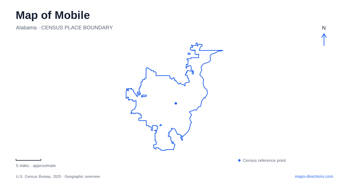
Street tiles load from OpenStreetMap when opened. The blue line shows the 2025 Census boundary.
- State
- Alabama
- Population · July 2025
- 200,824
- Land area
- 150.8 sq mi
- Water area
- 40.6 sq mi
A map of Mobile brings together a compact historic downtown and several important destinations outside its immediate street grid. Royal Street links a former market and city hall with the reconstructed colonial fort. Nearby squares provide public spaces within the commercial blocks, while Battleship Parkway leads to a much larger memorial setting. Africatown adds another essential geography: a living community whose history is connected to the survivors of the Clotilda and their descendants.
Royal Street's layered civic history
At 111 South Royal Street, the history museum occupies the Southern Market and Old City Hall complex. Built between 1855 and 1857, the Italianate building combined several functions. Food vendors operated on the ground floor, government occupied upper rooms, and local militia units also used the premises.
That mixture makes the building particularly informative. It was not designed as a museum, and its architecture reflects a time when commerce and municipal authority shared one substantial civic structure. The former market atrium recalls the everyday sale of meat, vegetables, fruit and seafood, while the upper spaces belonged to public administration and other organized activities.
The Southern Market continued operating until 1942. A later addition, constructed between 1997 and 2000, accommodated museum galleries and offices. Within downtown Mobile, the complex therefore records both nineteenth-century public life and a later decision to preserve and reinterpret it.
A reconstructed fort nearby
Colonial Fort Condé is at 150 South Royal Street. The original French fort was built in 1723; the structure visitors encounter today is a partial reconstruction opened in 1976 for the national bicentennial. Its location relates to the original site, but its visible walls should not be mistaken for an intact surviving colonial fortress.
The distinction matters when reading the surrounding street pattern. The fort interprets an earlier defensive landscape within a city that developed around and beyond it. Royal Street now provides a simple connection between the fort and the former city hall, even though the two places represent very different periods and purposes.
A map of Mobile can use this short corridor to explain historical change: colonial defense, civic administration, public commerce and museum interpretation occupy neighboring ground. Their proximity makes the sequence visible without implying that they were all built together.
Squares within the downtown blocks
Cathedral Square is listed by the city at 300 Conti Street. Its mapped boundaries include Dauphin and Conti streets with Claiborne and Jackson streets at the sides. Paths, benches, landscaping and a decorative fountain create an open public room inside that block.
Bienville Square is another established downtown gathering place. The American Planning Association identifies its location with the former site of a Spanish hospital and describes its relationship to the surrounding architecture and commerce. Its history is therefore part of the changing use of central urban land, as well as the story of a park.
The squares offer a useful contrast to Royal Street's museums. They can be understood as everyday civic spaces woven among businesses and streets, rather than enclosed collections. Their separate locations also help orient a walk through the older part of Mobile, with Dauphin Street providing a recurring reference across the downtown map.
Battleship Parkway and the memorial park
USS Alabama Battleship Memorial Park is at 2703 Battleship Parkway. The park opened in January 1965 after the battleship was saved from scrapping. Its purpose extends beyond displaying a large vessel: the state established it as a memorial to military service and sacrifice.
The submarine USS Drum is also part of the site. In 2001 it was moved from the water onto a land base so that its hull could be repaired and viewed more fully. That placement illustrates how a preserved vessel can be presented differently from a ship afloat, and why the park needs its own visitor layout.
This destination belongs to the Parkway corridor, separate from the downtown squares and Royal Street museums. Its scale, collection and approach are those of a substantial memorial park rather than another stop on a single downtown block.
Africatown as a community, not only an exhibition
Africatown Heritage House is at 2465 Winbush Street, which some maps spell Wimbush. It houses Clotilda: The Exhibition within the historic neighborhood founded after the Civil War by survivors of the ship and other Black residents. The exhibition opened in 2023, but the community's history long predates the museum building.
The operator recommends an approach using Paper Mill Road, McKinley Street and Winbush Street to reduce travel through residential roads. That is a locally specific reason to compare venue directions with an automatically generated route. Timed admission also separates entering the exhibition from simply arriving in the neighborhood.
Taken together, these places give a Mobile map several scales of history: the civic block, the public square, the memorial campus and the residential community. Each setting contributes something different to understanding the city and how its past remains visible today.
Map and statistics: U.S. Census Bureau, 2025 Gazetteer, January 2025 generalized place boundaries and Vintage 2025 population estimates. Local references: History Museum of Mobile; City of Mobile; American Planning Association; USS Alabama Battleship Memorial Park; Africatown Heritage House; Mobile County. Article prepared by Maps & Directions.