Map of Missouri
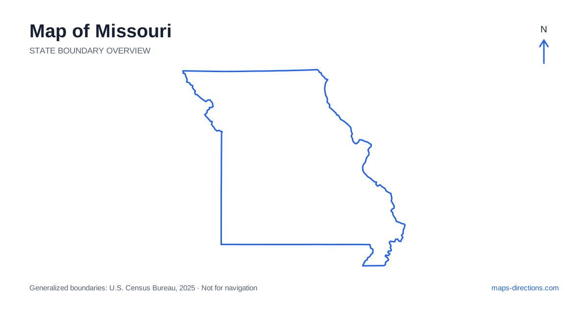
Missouri connects the central plains with the Mississippi Valley and the wooded uplands of the Ozarks. St. Louis anchors the eastern side, Kansas City the west, and Springfield the southwest. Jefferson City, the capital, occupies a river setting in the central interior. Those four reference points are more useful than treating the state as a single east-to-west highway drive. Its northern agricultural country, southern hills and southeastern Bootheel have distinct landscapes, and the rivers create practical boundaries that affect both long transfers and local arrivals.
Begin where the major rivers meet
The Missouri River crosses the interior from the west and joins the Mississippi north of St. Louis. Together, the rivers help organize the state into recognizable regions. The Mississippi marks the eastern boundary, while parts of the western side are also river-shaped. These water lines explain the position of many towns, but they do not create continuous road connections along every bank.
For a cross-river journey, locate the intended bridge before comparing distances. A point visible on the opposite shore may have an approach that starts considerably farther away. This is especially relevant around metropolitan areas that extend across state lines. A regional city description can include addresses on different banks, so the final street address and the crossing serving it need to be part of the plan.
Connect the eastern and western metropolitan areas
Interstate 70 is a major east-to-west corridor across Missouri, linking the St. Louis and Kansas City regions through Columbia. It gives the map a clear organizing line, but its endpoints are large metropolitan areas rather than single arrival points. An airport, downtown district and suburban venue can each require a different local route after the main highway transfer is complete.
Kansas City spans a wider urban region that includes neighboring Kansas, while the St. Louis region reaches across the Mississippi into Illinois. Use the full city and state information when selecting a destination. The metropolitan names alone are not enough to establish which bank, boundary or highway approach applies. A stay chosen for a through journey may also differ from one intended for several days of central-city visits.
Locate the capital separately from the main interstate
Jefferson City lies south of the Columbia area, along the large central river corridor. It is not simply another interchange stop on Interstate 70. A capital visit requires its own connection into the city and a precise destination within the local street network. That distinction becomes important when combining a central stop with an otherwise straightforward cross-state drive.
Columbia and nearby interior towns can form a coherent regional base, but the actual sequence should be mapped before accommodation is chosen. A visit on the opposite side of the river or farther into the hills may add a meaningful local stage. Keep the statewide highway view for orientation, then use a detailed map for the bridge, downtown approach or rural address that completes the journey.
Read the Ozarks through ridges, valleys and reservoirs
Southern Missouri includes the Ozark region, where wooded hills, stream valleys and reservoirs create a road pattern unlike the more regular northern plains. Springfield is a major urban anchor, while Branson lies farther south in a different local setting. A destination associated with one of these cities may still be reached by a smaller road through the surrounding terrain.
Lake of the Ozarks illustrates why a waterbody name is not a sufficient route endpoint. Its branching shoreline means two properties described as being beside the same lake can occupy very different road approaches. Locate the exact arm, shore and entrance before judging travel between them. Similarly, a river access point or trailhead should be mapped specifically rather than replaced with a pin in the middle of a broad recreation area.
Follow the southwest and southeast as separate corridors
Interstate 44 connects the St. Louis region with Rolla, Springfield and Joplin, creating a major diagonal route through the southern part of the state. Interstate 55 follows a different corridor toward Cape Girardeau and the southeastern lowlands. These roads serve distinct destinations and should not be treated as equivalent ways to reach one general southern region.
The Bootheel occupies the southeastern corner and has a lower, more agricultural landscape than the central Ozark uplands. A trip combining both regions crosses a genuine geographical transition. Mark the connecting leg clearly instead of assuming that two southern destinations are close neighbors. In rural areas, check the road serving the final address and distinguish a paved through route from a smaller local connection whose appearance on a statewide map provides little practical detail.
Choose a route that follows the regional sequence
An east-to-west city trip, a central capital visit, an Ozark stay and a southeastern river journey each provide a sensible starting focus. Combining them works best when the itinerary progresses through the regions rather than repeatedly returning to one metropolitan base. Plot overnight stops alongside the intended corridors before adding optional attractions.
For a Missouri itinerary, use the rivers to establish the correct bank and the terrain to understand the local approach. Keep reservoir destinations tied to a specific shore and metropolitan visits tied to a full address. The state outline explains the broad relationship between plains, uplands and river valleys; the usable travel plan comes from following the actual crossings and road corridors that connect those landscapes.