Map of Missouri City
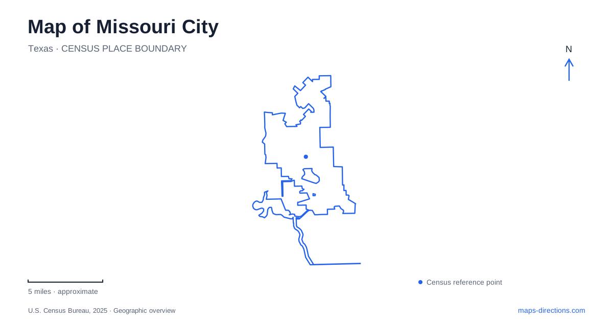
Street tiles load from OpenStreetMap when opened. The blue line shows the 2025 Census boundary.
- State
- Texas
- Population · July 2025
- 77,327
- Land area
- 29.0 sq mi
- Water area
- 1.4 sq mi
Missouri City has a network of waterways and recreation grounds that explains much of its local geography. Oyster Creek connects walking routes across a municipal boundary, while the connected lakes at Buffalo Run serve both recreation and stormwater management. Community Park gathers playing fields around a smaller lake, and the Freedom Tree preserves a much older story within the developed landscape. Reading these places together reveals several different meanings behind the blue and green areas on a street map.
Oyster Creek as a connecting corridor
The Oyster Creek Trail follows the waterway between Dulles Avenue and Cartwright Road. The city identifies access beside the YMCA at 4433 Cartwright Road and at Mosley Park, off Murphy Road. Its connection with Sugar Land's trail system makes it possible to continue toward Oyster Creek Park near Highway 6. A walker can therefore cross a city boundary without leaving the broader recreational corridor.
This is a particularly useful feature on a map of Missouri City because the creek supplies continuity where street names and neighborhood boundaries change. Cartwright Road, Murphy Road, and Dulles Avenue provide reference points along that corridor rather than interchangeable names for one entrance. The municipal trail history dates the opening of the first 1.21-mile Oyster Creek section to August 1997, showing that today's network developed in stages.
Other paths serve different surroundings. The crushed-granite GCWA Trail extends between Independence Park and the Recreation and Tennis Center, while the First Colony trailhead at 5330 Crosslakes Boulevard connects with the Double Lakes sidewalk system. These shorter routes add neighborhood-scale connections to the larger creek corridor. They should be read as individual parts of the walking network, with their own endpoints and surfaces.
Four lakes at Buffalo Run
Buffalo Run Park occupies land purchased from the school district in 2000 for a stormwater detention project in the Cangelosi Watershed. That origin remains visible in its four connected lakes. Together they account for 47.5 acres of surface water within the ninety-five-acre property at 1122 Buffalo Run Boulevard. The water is a defining part of the park's shape, rather than a small feature set among playing fields.
Fishing piers, a boat ramp, and a three-tier observation tower provide different ways to use or view the lakes. The city's park description identifies 1.9 miles of walking and jogging trails, covered pavilions, a playground, and a community garden. Boats can move between the lakes under a no-wake rule. For someone comparing outdoor destinations in Missouri City, this combination distinguishes Buffalo Run from a sports complex: its principal organizing feature is a connected water landscape with recreation developed around it.
Community Park's concentration of activities
Community Park, at 1700 Glenn Lakes Lane, has another arrangement. Its 107 acres accommodate soccer, softball, baseball, basketball, and a nine-hole disc golf course, alongside an amphitheater and picnic areas. A three-acre fishing lake adds a water feature without dominating the property to the same extent as the lakes at Buffalo Run. The park also contains a skatepark that opened in March 2019.
A half-mile jogging loop and the lake overlook create options for a shorter outing within this larger sports destination. The range of facilities means that two visits can focus on quite different parts of the grounds. The street address locates the property, but the field layout, skate area, lake, and pavilion locations explain how the recreation space is actually organized. That distinction is especially useful when meeting a team or planning an outing that combines spectators and other family activities.
The Freedom Tree and the older landscape
The Freedom Tree is a historic live oak associated with the former Palmer Plantation. The city's account describes workers gathering beneath it to learn that they were free following the end of slavery in Texas in 1865. Ed Gibbs, a leader among the enslaved workers and the plantation owner's former driver, figures in that local account. This history gives the tree significance beyond its size or appearance.
The park address is 4303 Freedom Tree Drive, near the Misty Hollow Drive corridor between Glenn Lakes and Lake Olympia boulevards. Missouri City preserves a place of remembrance here amid modern roads and neighborhoods. Its meaning comes from the people and events associated with this particular surviving tree, not simply from its designation as parkland.
Reading growth around Sienna
Maps of the Sienna area also require attention to the difference between existing roads and proposed connections. The city's mobility program includes planned extensions toward FM 521 and widening along Sienna Parkway. A possible Park Crossing Drive connection to One Oak Chase Road remains dependent on design, land, and jurisdictional approvals. Planning lines can describe future intentions without establishing an available route. In Missouri City, waterways, developed recreation grounds, historic sites, and evolving road plans each contribute a different layer to an accurate understanding of place.
Map and statistics: U.S. Census Bureau, 2025 Gazetteer, January 2025 generalized place boundaries and Vintage 2025 population estimates. Local references: City of Missouri City. Article prepared by Maps & Directions.