Map of Mississippi
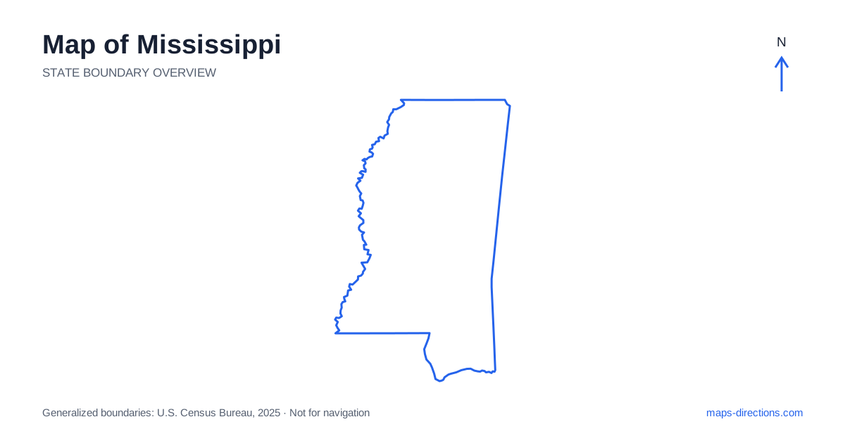
Mississippi extends from the northern interior to a relatively short Gulf coastline, with a broad river boundary along much of its western side. Jackson, the capital, anchors the central road network, while Tupelo, Meridian, Hattiesburg and the coastal cities orient other regions. The Delta in the northwest has a different landscape from the hill country farther east, and the coast adds tidal waterways and island access to the picture. Reading these areas separately is more useful than assuming the whole state shares one flat, uniform pattern of roads and settlements.
Let the western river explain the outline
The Mississippi River shapes much of the western boundary beside Arkansas and Louisiana. Its bends create a distinctive edge and a series of river-oriented towns. Vicksburg and Natchez occupy different stretches of that boundary, while the northwestern Delta extends inland across a broad lowland landscape. A riverfront label does not necessarily identify a point that can be reached directly from every nearby road.
Crossings are concentrated at particular bridges, so a destination on the opposite bank may require a route well away from the nearest-looking shoreline point. Mark the bridge before comparing cross-border alternatives. This is especially useful when a stay on one side of the river is paired with a visit on the other. The outline shows adjacency across water; the road network determines whether that adjacency produces a convenient connection.
Read the Delta as its own regional landscape
Clarksdale, Greenwood and Greenville help orient different parts of the Delta. The area is characterized by broad agricultural lowlands, towns and waterways rather than the steeper terrain found in some eastern regions. A map can make the local road pattern look straightforward, but drainage channels, river features and roads that end or change surface still influence the final approach.
A cultural or historical itinerary through these towns works best as a deliberate sequence, not a set of isolated detours from a distant interstate base. Locate the actual venue or town-center destination and follow the connection to the next stop. The Delta's broad scale becomes clearer when overnight locations are placed on the map. That prevents a collection of nearby-looking names from becoming a day dominated by repeated rural transfers.
Place Jackson at the central highway junction
On a road map of Mississippi, Jackson is an important meeting point for Interstates 20 and 55. Interstate 20 supplies an east-to-west corridor toward Vicksburg and Meridian, while Interstate 55 runs north to south through the interior. The capital is therefore a useful orientation point for several journeys, but it does not need to be the overnight base for destinations located far along those corridors.
Within the metropolitan area, the actual side of the city matters for arrivals and departures. An address near a highway interchange serves a different practical purpose from one in the central district. When combining a capital visit with a river town or eastern destination, choose the sequence first. That avoids crossing the same urban network repeatedly simply because the state map makes the capital look centrally convenient.
Distinguish the northern and eastern inland cities
Tupelo lies in the northeastern region, while Oxford occupies a different northern setting. Meridian sits farther southeast near the eastern border, and Hattiesburg is farther south at another important regional junction. These cities are separate travel anchors rather than stops along one continuous north-to-south line. Their relationships become clearer when the actual highway corridors are drawn between them.
Interstate 22 serves the northern corridor through the Tupelo area, while Interstate 59 links the Meridian and Hattiesburg regions with the route toward the coast and neighboring states. Smaller roads connect the spaces between these major routes. A visit outside a city center may need a local approach through hill country or woodland. Identify that final segment before estimating how many inland stops comfortably fit into the day.
Separate the Gulf cities from the barrier islands
The coast of Mississippi includes Gulfport, Biloxi and Pascagoula, each with its own relationship to bays, rivers and the shoreline. Interstate 10 runs inland from much of the immediate waterfront, while the coastal road network serves more local destinations. A hotel described as being on the coast may be in a different city or waterfront setting from the attraction it is intended to serve.
Offshore islands are another category of destination and should not be treated as road-accessible extensions of a beach visit. Identify the appropriate departure point and any separate transport arrangements before including one in the plan. On the mainland, choose the exact waterfront entrance, marina or parking area. The broad coastal label is useful for orientation but does not replace the detailed map needed for the last part of the journey.
Build a route around connected inland and coastal regions
A Delta journey, a central capital-and-river route, a northeastern city visit and a Gulf Coast stay each provide a clear starting focus. Combining them creates a longer north-to-south itinerary with meaningful transfers. Put the overnight stops on the map before adding optional attractions, and check whether the sequence follows a corridor or repeatedly doubles back across it.
For a Mississippi travel plan, distinguish river crossings, inland highway movement and local coastal access as separate tasks. Use the statewide outline to select the region and a detailed view to locate the final destination. This approach keeps the differences between lowlands, hills and tidal shorelines visible. It also makes the map more practical than a simple list of cities arranged according to how close their labels appear on one screen.