Map of Mission Viejo
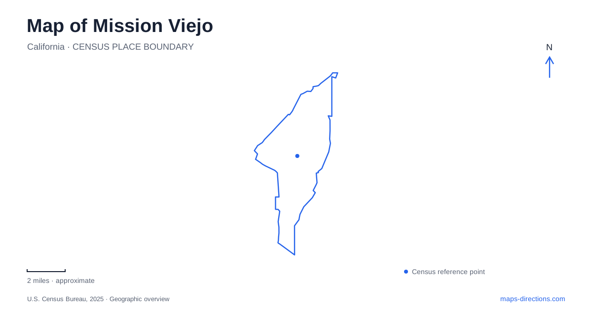
Street tiles load from OpenStreetMap when opened. The blue line shows the 2025 Census boundary.
- State
- California
- Population · July 2025
- 90,484
- Land area
- 17.7 sq mi
- Water area
- 0.4 sq mi
Mission Viejo is a city where recreation is part of the original planning story, but not every green or blue area on the map has the same access. Public trails, neighborhood parks, a privately managed lake and streets associated with an Olympic road race overlap within the community. Understanding those differences is more useful than assuming that a large water feature or landscaped corridor automatically works as a public attraction.
A planned community before a municipality
The development company began organizing the community in 1963, and James Toepfer prepared its master plan with other members of the development team. County approval preceded the arrival of the first families in 1966. City incorporation came much later, on March 31, 1988. These dates describe different milestones: planning, occupation and municipal government did not begin simultaneously.
Mission Viejo's early development included shopping, schools and recreation alongside housing. The first recreation center, Montanoso, opened in 1968 with swimming, tennis and a clubhouse. The city's historical timeline also records the formation of the Nadadores swim team that year. This helps explain why sports facilities remain useful map anchors: they were part of community formation rather than incidental additions to an already complete town.
The library preserves photographs, brochures, newspapers and oral-history interviews about this development. Such records are useful when comparing an early plan with the current streets. They also reveal that promotional descriptions and planning documents serve different purposes. A modern visitor can appreciate the intended arrangement of homes and amenities without treating historical marketing language as an objective assessment of the city.
Oso Creek is a network with several starting points
The Oso Creek Trail system provides a public walking setting within Mission Viejo. The city describes 5.5 miles of total trails, a figure for the network rather than a promise that every outing is one continuous 5.5-mile loop. Choosing a trailhead first makes the distance and difficulty easier to interpret.
Character Garden begins at 25552 Marguerite Parkway and is listed as an easier approach. The Potocki and World Cup Soccer Center trailhead is on La Paz Road, while Pavion Park offers another starting point at 24051 Pavion. The latter two are described as ranging from easy to moderate. These separate entries allow visitors to match an outing to the part of the corridor they actually want to explore.
The city's interactive map also identifies public-art features such as the Peace Obelisk and a painting platform along the creek. Those small destinations can make a short walk purposeful without requiring a tour of the whole network. They belong to the creek landscape and should not be confused with the lake's beaches or the more extensive regional trail corridors.
The lake is not a general-admission public beach
Lake Mission Viejo is a private recreation facility operated by a homeowners association. It is an artificial lake of about 125 surface acres, with North Beach off Olympiad Road and a seasonally operated East Beach off Lanzanote Road. Membership is associated with eligible properties, and access is governed by the association's member, tenant and guest arrangements.
This is the most important access distinction on a visitor map. A lake label, marina symbol or nearby restaurant does not establish a right to enter the beach facilities. Not every home in the city belongs to the association, either. Anyone planning swimming, boating or an event there needs to confirm the applicable membership and guest conditions before building an itinerary around the shoreline.
The city separately identifies a 3.1-mile sidewalk circuit around the lake area. That public walking route does not turn the association's gated recreation grounds into public space. A walk on surrounding streets and a visit to the beach are two different activities even when both are described casually as going to the lake.
Olympiad Road carries a sporting memory
Mission Viejo hosted the cycling road races during the 1984 Los Angeles Olympics. The starting and finishing area was on the road now called Olympiad, renamed from O'Neill Road in connection with the event. The route used neighborhood streets and major local roads, including Marguerite and La Paz. Permanent markers commemorating the start and finish were dedicated in 2004.
Florence Joyner Olympiad Park adds another sporting reference. The public park at 22760 Olympiad Road includes fields, playgrounds, picnic facilities and a walking trail. It honors Olympic athletes and bears the name of Florence Griffith Joyner. The city's recreation information uses the park as a starting point for the lake-area sidewalk walk.
The historic cycling course, park paths and Oso Creek network serve different purposes today. A former race route is still an open-road route, not a closed training circuit. Selecting the appropriate setting lets a visitor experience the city's sporting history, public art and planned landscape while respecting the practical differences between streets, trails and private recreation grounds.
Map and statistics: U.S. Census Bureau, 2025 Gazetteer, January 2025 generalized place boundaries and Vintage 2025 population estimates. Local references: City of Mission Viejo; City library; Lake Mission Viejo Association. Article prepared by Maps & Directions.