Map of Mishawaka
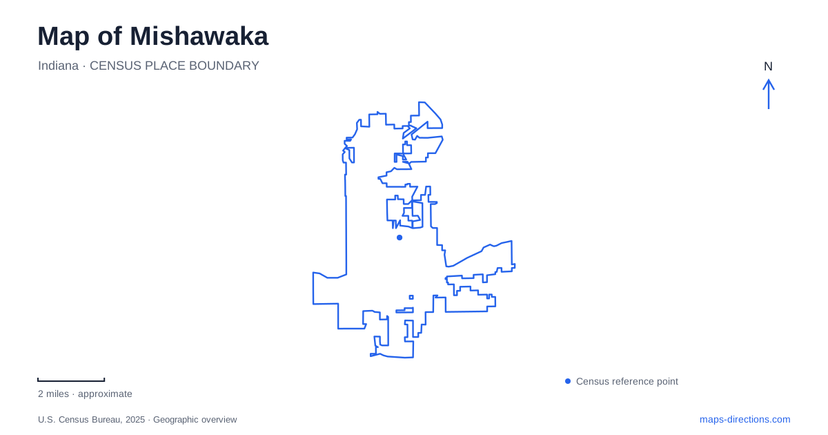
Street tiles load from OpenStreetMap when opened. The blue line shows the 2025 Census boundary.
- State
- Indiana
- Population · July 2025
- 51,226
- Land area
- 18.2 sq mi
- Water area
- 0.3 sq mi
Mishawaka's downtown meets the St. Joseph River along its northern edge, and the water links many of the city's most revealing public spaces. Parks on both banks are joined by paths and bridges, allowing the river to function as a shared center rather than simply a boundary. Former industrial land, memorial gardens, and newer event facilities now sit within this connected waterfront landscape, each preserving a different part of the local story.
A riverwalk on both banks
The Riverwalk is a system of pedestrian and bicycle paths using both sides of the St. Joseph River. The city's timeline records completion of the western loop between the Logan Street and Main Street bridges in 2009. Those two crossings provide a useful geographical framework: a walk can follow one bank and return on the other, with the bridges defining the circuit rather than forcing an identical out-and-back route.
That arrangement changes how downtown can be explored. The water remains in view through much of the experience, but the buildings and parks across it become destinations rather than distant scenery. On a map, looking at bridge connections before choosing a starting point reveals several possible sequences. The street approaches bring people to the river; the path network supplies a different circulation pattern once they arrive.
Beutter Park and the former industrial shore
Robert C. Beutter Riverfront Park opened in 2004 on land formerly occupied by the Uniroyal complex. The last buildings and the tall smokestack had been demolished in 2000. This was a substantial change in the use of downtown land: a factory landscape became a public riverfront. The park's present appearance is easier to understand when that industrial predecessor is part of the picture.
Ball Band Memorial Park overlooks the former factory site and honors its workers. The company names associated with the location changed over time, from a woolen business through Ball Band to Uniroyal. The memorial and the redeveloped grounds therefore tell related stories from different positions. One preserves the memory of work and manufacturing; the other demonstrates how the river edge acquired a new public purpose within Mishawaka.
Ironworks Plaza adds a gathering place
Ironworks Plaza brought an ice ribbon, café, and event facilities into the Beutter Park setting in December 2022. The ice-rink facility uses 410 North Hill Street, while the event center is listed at 414 North Hill Street. These nearby addresses help distinguish particular venues within the larger waterfront development. The common plaza connects them, but the building or activity name still matters for a meeting or reservation.
The development also changes the seasonal character of the riverfront. An ice-skating facility gives the area a winter use alongside the walks and gatherings associated with warmer weather. Its location beside the river keeps this newer activity connected to the same geographical center as the older parks. The result is a layered civic space rather than a separate recreation complex detached from downtown.
Battell's memorial landscape
Battell Park occupies the north-bank park sequence at 301 West Mishawaka Avenue. Members of the Battell family gave the property to the city in 1881. Its Civil War soldiers monument dates to 1884, and the copper-domed bandshell, built in 1927, commemorates World War I. A Works Progress Administration rock garden followed in 1937.
These features make the park a compact record of several periods of public commemoration and landscape design. The monument, bandshell, and rock garden invite different kinds of attention, even though they share the same grounds. Compared with the transformation of the former factory site, Battell represents a longer continuity of park use. Seeing both banks helps reveal those different paths toward a public riverfront.
A garden shaped by an international friendship
Shiojiri Niwa adds another kind of cultural landscape to Mishawaka. Dedicated in 1987, the Japanese strolling garden honors the sister-city relationship established with Shiojiri in 1972. The local library traces that relationship to earlier personal correspondence and a school artwork exchange, giving the garden a history extending beyond its physical design.
Designer Shoji Kanaoka arranged a setting with large boulders, varied planting, and a teahouse pavilion. The garden is intended to unfold through a sequence of views, offering a smaller and more contemplative experience than the wider river circuit. It is another example of a public landscape carrying a story that a simple green park symbol cannot fully convey.
Together, the river crossings, factory-site redevelopment, Battell memorials, and sister-city garden give Mishawaka a distinctive spatial history. A useful map connects these settings while retaining their differences, allowing the visitor to understand both where to go and why the places have taken their present form.
Map and statistics: U.S. Census Bureau, 2025 Gazetteer, January 2025 generalized place boundaries and Vintage 2025 population estimates. Local references: City of Mishawaka; Indiana Historical Bureau; Mishawaka-Penn-Harris Public Library; Mishawaka Lions Club. Article prepared by Maps & Directions.