Map of Miramar
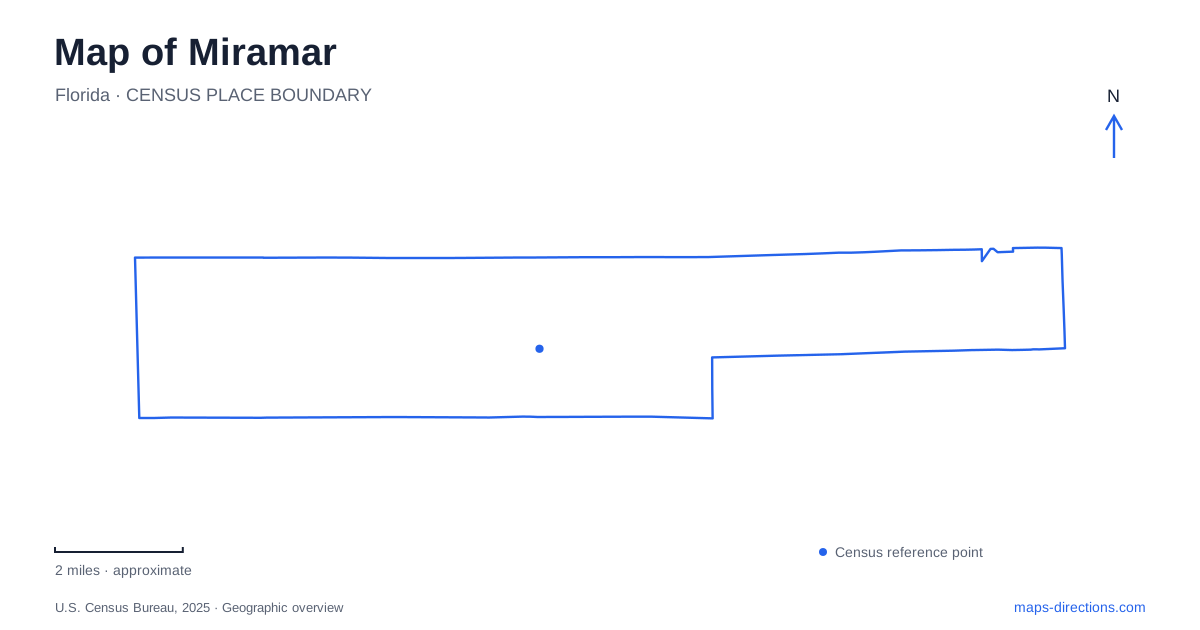
Street tiles load from OpenStreetMap when opened. The blue line shows the 2025 Census boundary.
- State
- Florida
- Population · July 2025
- 142,570
- Land area
- 28.9 sq mi
- Water area
- 2.2 sq mi
Miramar extends across southern Broward County, with an older eastern settlement area and major civic and recreation destinations farther west. Its map becomes clearer when those parts are treated as separate districts within one city. The original municipal boundaries were much smaller than the present footprint, and a destination described as the Town Center is not simply the oldest neighborhood renamed. University Drive, the civic complex and the regional park provide useful reference points for understanding that growth. Natural areas add a different layer, preserving habitats and cultural history within the developed landscape.
Start with the original boundaries
The city incorporated in May 1955. Its historical account describes an initial area bounded by Southwest 64th Avenue, University Drive, the county line and Pembroke Road. That relatively compact footprint helps locate the earliest municipal geography within the much broader modern city.
The founding story also differs from that of a port or railroad town. Developer A. L. Mailman bought land in 1953 and built modest homes intended for people connected with the larger Miami and Fort Lauderdale region. Residential development was the organizing purpose. This helps explain why the historical center should be understood through neighborhoods and local streets rather than through a single old freight terminal or waterfront market.
When comparing different maps of Miramar, keep the date and boundary in view. The original limits describe a historical stage, while a current municipal outline includes later development. Confusing the two can make civic destinations outside the early footprint seem misplaced when they actually reflect the city's expansion.
The civic center is a planned gathering place
Town Center was designed to combine government, cultural, educational, residential and commercial uses. The city's description emphasizes pedestrian-oriented streets and a civic complex containing City Hall, a cultural venue and a library-education facility. Its traditional downtown appearance belongs to a planned development approach rather than proving that every building is old.
At 2400 Civic Center Place, the Cultural Center and ArtsPark sit beside City Hall. The venue includes an indoor theater, the Ansin Family Art Gallery, a botanical garden and spaces for other activities. A single cultural-center label therefore covers several kinds of visit. Looking for an exhibition or garden requires a different internal destination from attending a theater performance.
The campus relationship is the useful map fact: civic functions and arts spaces occupy neighboring parts of a larger center. It is possible to understand them together without treating City Hall, the library and the theater as one interchangeable building.
Pineland preserves a different landscape
Miramar Pineland is a county-managed natural and recreation area at 3600 South University Drive. Its northern portion contains scrubby flatwoods, while restored wetlands and associated prairie occupy the southern portion. That ecological contrast is more informative than a generic green park symbol.
The county's educational material describes a slash-pine landscape with grassy openings and sandy ground on a low ridge. Elsewhere on the property, pathways and boardwalks introduce visitors to the wetter landscape. Reading the site by habitat explains why the experience changes as a route passes between those sections. A boardwalk is part of an approach to wet ground, not simply a decorative substitute for an ordinary sidewalk.
This park adds environmental context to a city often seen through roads and residential subdivisions. The surviving and restored habitats make visible some of the landscape conditions that development maps tend to simplify or leave out.
The regional park is farther west
Miramar Regional Park lies west of Interstate 75. Its large recreation campus includes athletic facilities, an aquatic complex and an outdoor amphitheater. Those uses generate several distinct arrival patterns within the same grounds: a sports participant, a swimmer and a concert attendee may be heading toward different facilities.
The amphitheater combines covered seating with an open lawn area. It is a different performance setting from the indoor theater at Town Center, even though both appear in the city's cultural calendar. Identifying which venue hosts an event is therefore essential to choosing the correct part of the map.
The regional park's position beyond I-75 also makes it a useful western reference point. It should not be confused with the University Drive natural area simply because both names contain the city name and both provide public recreation.
A much older history within the eastern landscape
Snake Warrior's Island Natural Area preserves a site associated with Seminole settlement and earlier Tequesta inhabitants. The Trust for Public Land, which helped protect the property, describes it as the oldest documented Seminole settlement in the eastern Everglades. Its cultural history substantially predates the mid-twentieth-century incorporation story.
A map of Miramar is consequently more revealing when read in several time layers. The early residential city, the planned civic center, the western recreation campus and the protected natural areas each explain something different about the place. None alone stands for the whole city.
Map and statistics: U.S. Census Bureau, 2025 Gazetteer, January 2025 generalized place boundaries and Vintage 2025 population estimates. Local references: City of Miramar; Miramar Cultural Center; Broward County; Broward County Parks and Recreation; Trust for Public Land. Article prepared by Maps & Directions.