Map of Minot
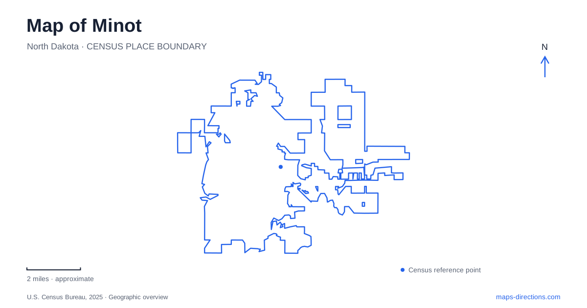
Street tiles load from OpenStreetMap when opened. The blue line shows the 2025 Census boundary.
- State
- North Dakota
- Population · July 2025
- 47,308
- Land area
- 27.8 sq mi
- Water area
- 0.0 sq mi
Minot is a valley city as much as a prairie city. The Souris River bends through its core, while development rises onto North Hill and South Hill. Coulees cut into the surrounding terrain and add smaller drainage corridors to the river's larger pattern. This produces a map with more structure than a simple expanse of numbered streets: the valley, the higher neighborhoods and the routes between them each have a distinct role.
A city organized around changes in elevation
The municipal comprehensive plan identifies the hills and coulees as major influences on development. It places newer neighborhoods above the river basin and describes Broadway, or Highway 83, as the main connection between the northern and southern hills. That makes Broadway a useful organizing line across the city's topography, not just another commercial street label.
A terrain view adds information that a flat street map suppresses. Two locations can be similarly close to the river in horizontal distance while occupying different elevations. The valley's bends also mean that the same waterway can reappear beside several neighborhoods as it winds through the core. Follow the river as a continuous feature before deciding that two separate-looking blue segments represent different streams.
Souris and Mouse describe the same river system
Minot's municipal material uses Souris River in floodplain information and Mouse River in the name of the major flood-protection project. Recognizing that naming relationship makes local maps and project documents easier to compare. A floodwall labeled for the Mouse River is not evidence of an additional river crossing the city independently of the Souris.
Flood protection is part of the visible urban landscape. City project information describes levees, floodwalls and the Broadway pump station, while the park district identifies construction affecting Roosevelt Park. Those features have practical geographic meaning: the river corridor contains engineered infrastructure as well as parks and neighborhoods. A strip that appears open on aerial imagery may be part of a protection project rather than an ordinary recreational route.
Railway buildings tell different parts of the downtown story
The Great Northern depot at 400 First Avenue Southwest dates from 1905 and serves the Amtrak Empire Builder. Amtrak's station-history information places it northwest of downtown near the river. This links the working passenger station to the same valley geography that shaped early settlement and transportation.
Downtown Minot also contains the historic Soo Line depot, which the local tourism organization describes as a reused building, and a railroad museum with exhibits about the city's rail heritage. These are separate functions: an operating passenger station, a historic depot with a new use, and a museum. On a cultural itinerary they can belong to one railway story; on a travel itinerary only the actual passenger station is the boarding destination.
Industrial scale and small downtown spaces
The Union Silos mural and Citizens Alley offer contrasting ways to read downtown. The mural uses the tall surfaces of grain silos, retaining the large industrial form of those structures while giving them a public-art role. Citizens Alley is a smaller gathering space associated with murals, activities and seasonal programming. Their different scales make them useful complements rather than interchangeable attractions.
A map of Minot can therefore show both a compact downtown walking area and landmarks whose original purposes belonged to a much wider agricultural and railway economy. The Taube Museum of Art adds another cultural destination within the downtown setting. This concentration is different from the dispersed facilities on the hills: a cluster of downtown stops can be considered together without treating every city attraction as part of the same walk.
A Nordic landscape and a river park
Scandinavian Heritage Park presents a different cultural geography through buildings, monuments and objects associated with the Nordic countries. Its features include a replica stave church, a traditional Norwegian storehouse and a large Swedish Dala horse. The park's paths connect these representations within one outdoor setting; the historic architectural references are part of the attraction rather than evidence that the surrounding streets form an old Scandinavian village.
Roosevelt Park, listed at 1215 East Burdick Expressway, belongs to the river-and-recreation side of the city. The zoo and other facilities share that broader park setting, but flood-protection work has affected several outdoor amenities and trails. Consult the park district's current notice when choosing an activity there rather than assuming that an older park map represents unrestricted access.
Bringing the landscape together
The most informative Minot overview keeps the winding valley, Broadway's hill-to-hill role and the downtown railway area visible at the same time. Add the chosen park or cultural stop after establishing those relationships. The resulting picture explains why a short downtown outing, a journey between higher neighborhoods and a river-park visit are different kinds of movement through the same city.
Map and statistics: U.S. Census Bureau, 2025 Gazetteer, January 2025 generalized place boundaries and Vintage 2025 population estimates. Local references: City of Minot; Amtrak Great American Stations; Visit Minot; Minot Park District. Article prepared by Maps & Directions.