Map of Minnesota
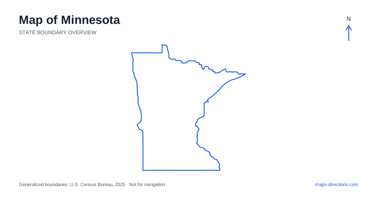
Minnesota combines a large southeastern metropolitan area with western prairie, southern agricultural country and a lake-filled northern landscape. Minneapolis and Saint Paul anchor the principal urban network, but Duluth, Rochester, Saint Cloud and the towns near the Canadian border occupy different regional settings. A map centered only on the Twin Cities can understate the size and complexity of the north. Start by separating the metropolitan region, the Lake Superior coast and the inland lake country, then locate each planned stop within the appropriate road network.
Understand the river cities without merging them
The Twin Cities are the central urban reference point for Minnesota, yet Minneapolis and Saint Paul are distinct cities with different downtowns and approaches. The Mississippi River is a defining feature of both the wider region and many local journeys. A destination across the river may need a specific bridge rather than the road that appears to head most directly toward its map label.
The surrounding metropolitan area includes numerous suburbs, lakes and separate arrival districts. An airport hotel, a central-city venue and a suburban address can serve very different itineraries. Choose the exact destination before comparing routes around or through the urban area. For a trip continuing north or west, the next departure direction also matters when deciding where the first overnight stop belongs.
Follow the main corridors beyond the metropolitan area
Interstate 35 links the Twin Cities region with Duluth to the northeast and continues south toward the Iowa border. Interstate 94 runs northwest through the Saint Cloud and Alexandria corridor toward Fargo-Moorhead. Interstate 90 crosses the southern part of the state, creating another important east-to-west connection that is separate from the metropolitan network farther north.
These highways provide a useful framework, but they do not place every destination directly on a through route. Rochester lies in the southeast with its own local approaches, while Mankato occupies a different south-central setting. A journey involving several of these cities should be drawn as an actual sequence of corridors and local connections. Their shared position in the southern half of the outline does not make them one compact urban cluster.
Read the western prairie and river boundary
Western Minnesota includes broad agricultural landscapes and communities oriented toward the Red River valley and neighboring North Dakota. Moorhead sits across the river from Fargo, creating a metropolitan relationship that crosses a state line. A regional description may include both cities, so the full destination address and chosen crossing should remain visible in the plan.
The western landscape differs from the wooded lake country farther east and north, but a regular-looking road pattern is not a guarantee of identical local conditions. Rivers, drainage features and road surfaces still matter on rural approaches. If the destination is outside a town center, locate the exact road serving it. This is more useful than relying on the nearest large city label as though it described the entire final stage of the journey.
Follow Lake Superior from Duluth
Duluth sits near the western end of Lake Superior and shares a harbor region with Superior, Wisconsin. The lake forms an immense water boundary, so an opposite-shore destination is not a short local drive simply because both places appear in the same regional map. A road journey must follow the shore or another land connection around the water.
The North Shore extends northeast from Duluth through communities such as Two Harbors and Grand Marais. State Highway 61 is an important organizing route, with particular roads leading inland to recreation areas and trailheads. A stop beside the lake and one farther into the uplands can require different access plans. Mark the actual entrance or parking destination rather than using a broad stretch of shoreline as the route endpoint.
Treat northern lake country as several destinations
Northern Minnesota contains many lakes and forested areas, but they do not form one interchangeable recreation district. Bemidji, Ely, International Falls and Grand Rapids orient different parts of this large region. A stay associated with one of these towns may lie on a lake some distance outside its center, and the correct shore can substantially change the final road approach.
In areas where a visit involves canoeing, boating or another water journey, the road arrival point is only the beginning of the local plan. Identify the specific launch or entry location and keep the water segment separate from driving. A line across a lake should not be counted as a road connection. This distinction is especially important when nearby-looking destinations occupy different lake basins or lie beyond the ordinary road network.
Choose the appropriate region for each overnight stop
A Twin Cities visit, a southeastern city trip, a North Shore journey and an inland northern-lakes stay each have a coherent geographical focus. Combining them adds meaningful travel, and the overnight sequence should reflect that. Avoid repeatedly returning to the metropolitan area if the next day's first destination continues farther into the north or west.
For a Minnesota itinerary, pair the statewide outline with a local map showing the correct riverbank, lakeshore or trailhead approach. Keep the water features visible when comparing distances; they explain many of the apparent detours. The state map establishes the broad relationship between prairie, cities, forests and the Great Lakes coast. The practical route emerges when each of those landscapes is connected through its actual roads and arrival points.