Map of Minneapolis
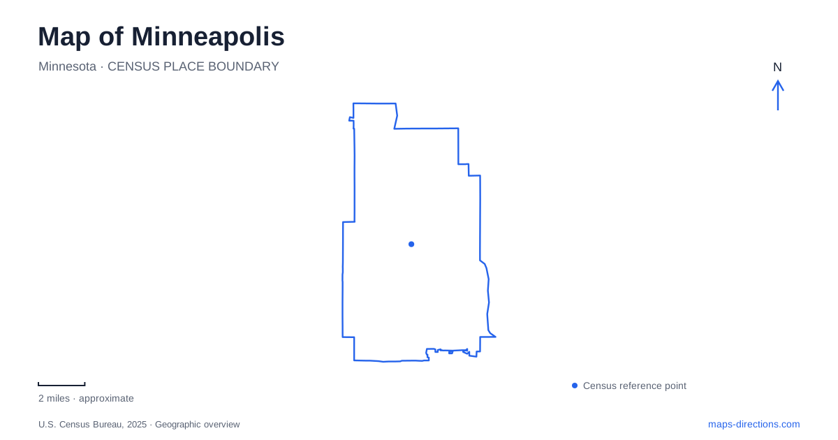
Street tiles load from OpenStreetMap when opened. The blue line shows the 2025 Census boundary.
- State
- Minnesota
- Population · July 2025
- 430,324
- Land area
- 54.0 sq mi
- Water area
- 3.5 sq mi
Minneapolis is shaped by two different water systems: the Mississippi River and the lakes linked by parkland farther west. The river explains much of the city's early industrial geography, while lake shorelines and Minnehaha Creek organize long recreational routes. Bridges, parkways, and neighborhood streets connect these systems without making them interchangeable. A useful map shows both the destinations beside the water and the particular crossings or corridors that join them.
The falls explain the mill district
St. Anthony Falls supplied the waterpower that drew sawmills and flour mills to the river. The historic landscape around Mill City Museum is therefore closely tied to a specific natural feature, rather than simply occupying a convenient waterfront location. The museum, mill remains, riverbank paths, and crossings can be understood as parts of the same industrial setting.
The falls themselves have been engineered. Nineteenth-century work included a protective apron over the ledge and a dike beneath the river, helping stabilize a waterfall that had naturally migrated upstream. The visible river scene combines geology with infrastructure built to preserve the resource that powered the mills.
The Stone Arch Bridge adds the railway layer. Completed in 1883, it carried trains across the river on a curved alignment. Its engineer worked around existing buildings, the falls, and underlying stone conditions. The curve visible on a Minneapolis map is therefore a response to the site, not merely an ornamental shape.
River crossings connect different urban settings
The St. Anthony Falls Heritage Trail uses the Stone Arch and Father Louis Hennepin bridges to form a loop around the historic riverfront. That arrangement illustrates a basic principle of local geography: two riverbanks become a connected walking district only through specific crossings.
Farther along the river, the University of Minnesota occupies East Bank and West Bank campuses joined by the Washington Avenue Bridge. Those campus names refer to their relationship to the river, and the bridge is central to movement between them. A building on the opposite bank may look nearby but still require reaching a crossing.
The North Loop lies northwest of downtown and is also associated with the Warehouse District name. Its position and older commercial identity distinguish it from the mill district around the falls. Both belong to the central city, but they represent different concentrations of historic development. Keeping their names separate helps when comparing a restaurant address, a riverfront destination, and a ballpark visit.
A chain of parks is not one continuous waterway
The Chain of Lakes includes Brownie Lake, Cedar Lake, Lake of the Isles, Bde Maka Ska, and Lake Harriet, together with connecting trails and parkland. These named lakes give southwestern Minneapolis a recognizable pattern of open water surrounded by recreation routes. Lyndale Park and the Lake Harriet bandshell add destinations within that larger landscape.
The word “chain” can be misleading if interpreted as an uninterrupted paddling route through all five lakes. Lake Harriet is not connected by a canal to Bde Maka Ska. The park board records that the latter's surface is seven feet higher, which would have required locks to make a water connection.
The other canal connections also altered the landscape. Connecting Cedar and Brownie lakes with the lower lakes reduced their water levels, changing an island at Cedar Lake into a peninsula. These details show that the lake system is partly a product of park engineering as well as natural topography.
On a Minneapolis map, distinguish the blue water connections from the green park connections. A path or parkway can join two shores even where no navigable channel does. That difference matters when choosing between walking, cycling, and paddling.
Minnehaha Creek carries the park system east
Minnehaha Parkway Regional Trail follows Minnehaha Creek between Lake Harriet and Minnehaha Regional Park. It provides an east–west connection across the southern city, complementing the routes that circle individual lakes.
At the park, the creek reaches its final stretch toward the Mississippi. Minnehaha Falls drops into a glen, creating a landform quite different from the gentler lakeside paths. The waterfall, creek valley, and river connection belong to one sequence, so the park is best understood through its terrain rather than as a single falls marker.
The wider Grand Rounds system brings together lake routes, creek corridors, and river parkways. East River Parkway, for example, follows the Mississippi from the university area toward the eastern city boundary. These routes explain how Minneapolis connects major green spaces while preserving their individual shapes. For an actual trip, combine that broad geographic picture with current bridge and trail notices, since established connections can be temporarily affected by repair work.
Map and statistics: U.S. Census Bureau, 2025 Gazetteer, January 2025 generalized place boundaries and Vintage 2025 population estimates. Local references: Minnesota Historical Society; University of Minnesota; Meet Minneapolis; Minneapolis Park & Recreation Board. Article prepared by Maps & Directions.