Map of Milpitas
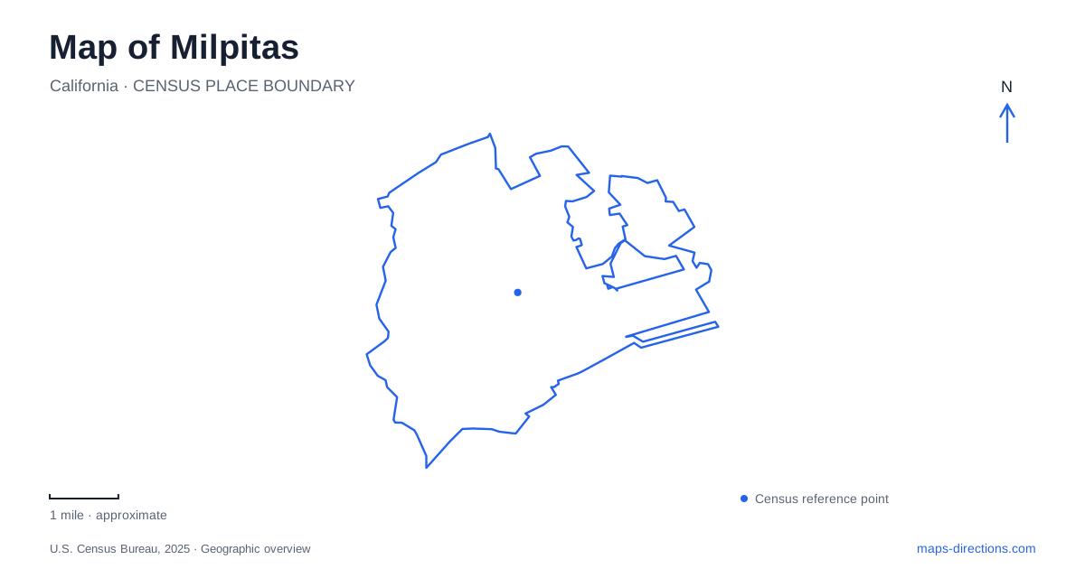
Street tiles load from OpenStreetMap when opened. The blue line shows the 2025 Census boundary.
- State
- California
- Population · July 2025
- 78,596
- Land area
- 13.5 sq mi
- Water area
- 0.0 sq mi
Milpitas sits where the developed valley floor meets an older landscape of ranch sites and eastern foothills. Its map brings together several eras of movement: the early crossroads around Main Street, the transit interchange near Montague Expressway, and the roads leading toward Calaveras Valley. Reading these as separate but connected parts of the city helps explain why a regional rail stop, a historic adobe, and a hillside trail can all belong to the same community while offering very different surroundings.
The Main Street crossroads
The settlement grew around roads serving travelers and farming families. The city's historical planning material identifies the intersection of the former Alviso road and the San Jose–Oakland route as an important commercial nucleus. Main Street preserves the latter alignment, while today's Highway 237 follows the former east–west connection in this account. Stores, stables, blacksmiths, hotels, and other services developed around that crossing, with residents living nearby.
That history gives Main Street a useful role on a map of Milpitas. It represents the older settlement pattern rather than the newer regional transit center. The public library at 160 North Main Street is a particularly clear landmark. The county library first occupied a classroom in the historic grammar school there in 1958. After intervening moves and branch consolidations, a new 60,000-square-foot library opened at the address in 2009. The location thus connects successive public uses across several generations.
The library's local-history holdings include newspapers, yearbooks, and planning documents. For someone tracing how the built landscape changed, this is a practical counterpart to the surviving buildings themselves. The city's planning history records the Ford plant's arrival at the south end of town in 1953 as a major turning point before extensive redevelopment of the older center.
Sorting out the rail connections
Milpitas Transit Center is at Montague Expressway and Capitol Avenue near Great Mall. It combines regional BART access with local connections and facilities for people arriving on foot or by bicycle. BART identifies its station here as the northernmost one in Santa Clara County. On a regional map, the interchange is therefore a useful hinge between the wider Bay Area rail network and destinations across the valley.
Great Mall light-rail station occupies a different location associated with Great Mall Parkway and Fairlane Drive. VTA describes a pedestrian walkway connecting the park-and-ride property to the light-rail platform. The Orange Line serves this station as well as the BART interchange. A shopping-center label can make these nearby transport features appear interchangeable at a broad zoom level, but their separate names and street settings explain the actual arrangement. Choose the rail service first, then follow its station rather than using the mall name alone.
Adobe sites beside the foothills
Two preserved places reveal the agricultural landscape that preceded modern Milpitas. Alviso Adobe Park at 2087 Alviso Adobe Court centers on the 1837 José Maria Alviso Adobe. Historic farm outbuildings, heritage trees, fruit trees, and interpretation extend the story beyond the main structure. The grounds are a place to consider how a working property once combined domestic rooms, storage, cultivation, and open land.
Jose Higuera Adobe Park lies at Wessex Place and Park Victoria, with Calera Creek alongside it. Its historical roots reach back to an adobe built in the 1830s. The city parks plan explains that the visible building includes a facade constructed in 1960 to protect the older ruins, a useful distinction when interpreting what survives. The surrounding park combines creekside picnic areas, lawn, a paved path, and playground space. Its cactus planting is another reminder of the cultivated landscape around the early home.
The two parks share an adobe heritage, but each preserves its own property and setting. Taken together, they illustrate why the foothill edge is important to local history: the city's earliest adobe homes were associated with this side of the valley rather than the later concentration of commercial services at the crossroads.
Following Calaveras Road into open country
Ed Levin County Park extends the map outward into rolling terrain. The city's facility listing gives 3100 Calaveras Road as its address, while the county map distinguishes Sandy Wool and Spring Valley entrances. Sandy Wool Lake, Spring Valley Pond, the golf course, and Laguna Cemetery occupy different parts of this larger landscape. The cemetery lies near Calaveras Road in the park's southeastern area, adding another historical feature to the open-space map.
The park's trail network reaches toward Monument Peak and the regional ridge corridor. This is a change in scale from the compact adobe grounds or a walk along Main Street: contour lines, named trail junctions, and the chosen entrance become central to the outing. Viewed across these different settings, Milpitas becomes understandable as a city of old valley routes, modern rail connections, and enduring foothill landmarks.
Map and statistics: U.S. Census Bureau, 2025 Gazetteer, January 2025 generalized place boundaries and Vintage 2025 population estimates. Local references: City of Milpitas; Santa Clara County Library District; VTA; BART; Santa Clara County Parks. Article prepared by Maps & Directions.