Map of Milford
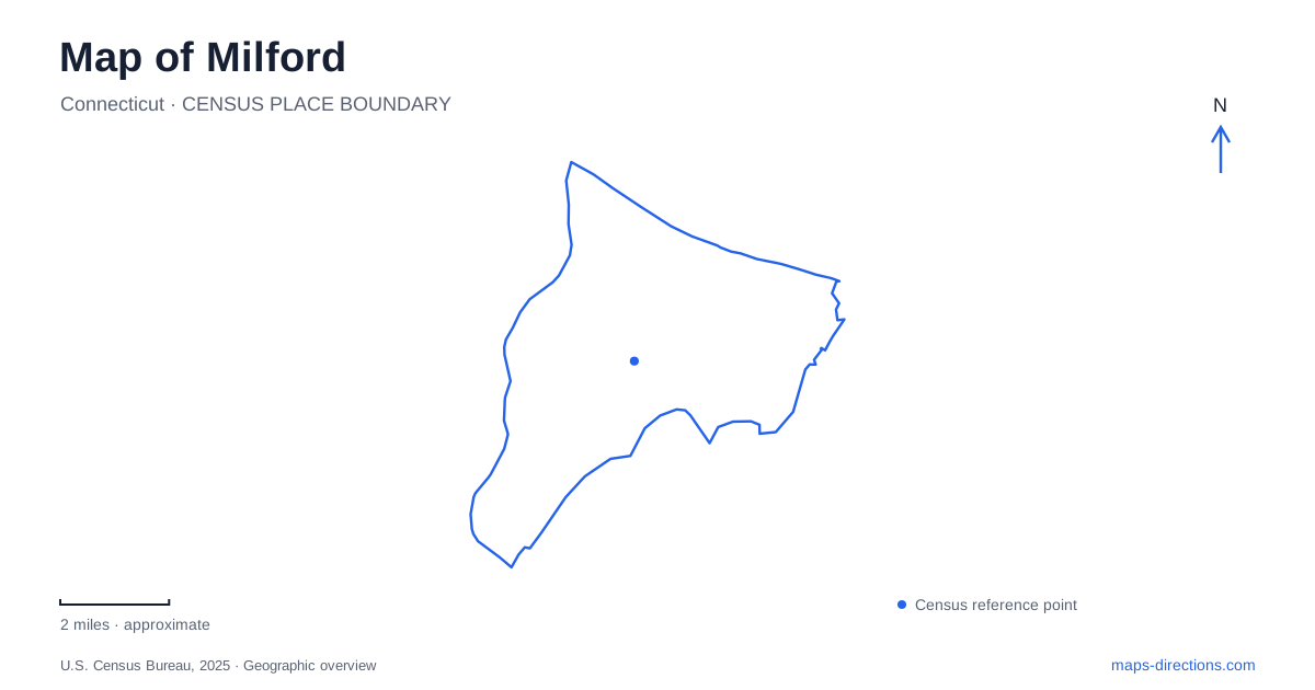
Street tiles load from OpenStreetMap when opened. The blue line shows the 2025 Census boundary.
- State
- Connecticut
- Population · July 2025
- 51,215
- Land area
- 21.9 sq mi
- Water area
- 3.2 sq mi
A map of Milford brings together several kinds of water landscape: a downtown harbor, Long Island Sound beaches, the Housatonic River mouth, and the inland Wepawaug River. They are connected geographically but offer very different outings. The harbor places parks close to the commercial center; the Sound opens toward islands and tidal flats; the western river mouth supports extensive bird habitat. Recognizing those differences is the best starting point for exploring the city.
Downtown parks around the harbor
Fowler Field sits beside downtown and the harbor, combining playing fields, courts, a playground, and a pavilion used for public events. Nearby Wilcox Park supplies wooded trails along the harbor edge. These two public spaces show how the central area accommodates both organized recreation and a more enclosed walking landscape. The town green adds another recognizable gathering space within downtown.
Gulf Beach occupies the harbor mouth and includes a fishing pier. Its position makes it a useful geographical reference between the sheltered harbor and the broader Sound. A map can therefore show a sequence of different settings without suggesting that they are all the same kind of waterfront: downtown gathering places, wooded harbor trails, and the more open beach at the entrance to the harbor.
Silver Sands and a changing shoreline
Silver Sands State Park is reached at 1 Silver Sands Parkway. Its beach, dunes, marsh, and boardwalk create a coastal landscape with several layers between the parking area and open water. The park developed after Hurricane Diane destroyed shoreline homes in 1955, and transfers of numerous parcels were completed in 1960. Remnants of cottage foundations in the marsh recall that earlier residential use.
Charles Island is linked to the mainland by a tidal sandbar, but that line on a map is not a permanent dry crossing. The state warns that incoming tides cover it and create dangerous currents. Access to the island is prohibited from May 1 through September 9 for nesting birds, and its interior is protected habitat. The island is an important visual landmark even when a visit remains entirely on the mainland boardwalk and beach.
This is one place where a map of Milford needs to be read as a changing coastal environment. The beach and island retain their names while the exposed land between them changes with the tide. Planning around the mainland paths provides a complete coastal outing without depending on that temporary connection.
Walnut Beach and the shoreline neighborhood
Walnut Beach adds a neighborhood setting to the coastal picture. The city's visitor information describes a beach area with a fishing pier, boardwalk, pavilion, and nearby shops, restaurants, and galleries. It offers a different relationship between shore and streets from the broad marsh setting at Silver Sands. Here, a coastal visit can also involve the adjacent commercial area.
The distinction is helpful when choosing a starting place. Someone interested in the beach and neighborhood businesses may organize time around Walnut Beach, while someone focused on dunes and marsh habitat may prefer the state park. Both belong to the Sound shoreline, but their surrounding land uses shape the experience. Keeping those contexts visible is more informative than treating all nearby beach labels as equivalent access points.
Where the Housatonic reaches the Sound
The Connecticut Audubon Society's Coastal Center at Milford Point occupies a barrier-beach setting beside the Charles E. Wheeler salt marsh at the Housatonic River mouth. Its grounds include the Smith-Hubbell Wildlife Refuge, observation platforms, and short trails through coastal habitat. The combination of marsh, dunes, woodland, and intertidal areas supports a wide variety of birds within a relatively compact landscape.
This is a wildlife sanctuary rather than a conventional beach recreation park. The operator prohibits activities such as sunbathing and picnicking and directs visitors to designated routes. Viewing platforms let people observe the marsh without walking through sensitive habitat. The river-mouth setting also distinguishes this destination from Charles Island: both involve coastal birds and tidal conditions, but they occupy different parts of the city's shore.
Inland along the Wepawaug
Eisenhower Park, at 780 North Street, offers a different perspective on Milford's watercourses. The Wepawaug River runs through the park, with trails connecting recreation areas, fields, shrublands, wetlands, and forest. Part of the river is diverted into a pond, creating a small island connected by bridges. The water here organizes an inland park landscape rather than an exposed coastal edge.
The contrast makes Eisenhower a useful complement to the shoreline. A wooded river walk, a harbor visit, and a bird-watching outing at the Housatonic mouth each reveal a different part of Milford. Selecting among them by landscape and purpose produces a clearer itinerary than trying to cover every waterfront destination in one trip.
Map and statistics: U.S. Census Bureau, 2025 Gazetteer, January 2025 generalized place boundaries and Vintage 2025 population estimates. Local references: Discover Milford; Connecticut State Parks; Connecticut Audubon Society; Milford Recreation Department. Article prepared by Maps & Directions.