Map of Midland
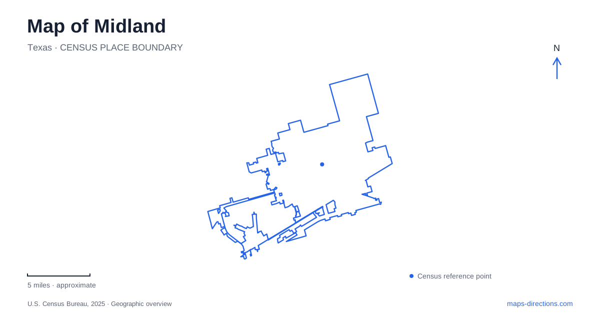
Street tiles load from OpenStreetMap when opened. The blue line shows the 2025 Census boundary.
- State
- Texas
- Population · July 2025
- 147,615
- Land area
- 76.2 sq mi
- Water area
- 0.2 sq mi
Midland's skyline and petroleum associations are only part of its geography. Downtown gathering spaces, the Interstate 20 museum corridor and nature areas around playa wetlands describe different relationships between the city and its West Texas setting. A local map becomes more informative when it shows those differences. Centennial Park belongs to the central business district, while the nature centers explain habitats that persist within the developed city and the museum interprets a much wider energy-producing region.
Centennial Park anchors a downtown block
The city's parking information places Centennial Park at 200 West Wall Street, between Colorado Avenue and Main Street. That address gives a downtown visit a specific reference among the surrounding commercial blocks. The visitor bureau describes green space, play areas and a splash pad, with small-scale shopping elsewhere in the downtown setting.
The park's operator is a nonprofit conservancy. This distinguishes its management from the municipal recreation facilities that appear elsewhere on a city map. Public access and private nonprofit operation coexist here; the word park does not automatically identify the agency responsible for every green space.
Wall Street and the adjacent streets are useful for understanding how the park fits into downtown. Its central location makes it part of the business district's daily life rather than a remote recreation destination. A map can retain that urban relationship while still showing the individual buildings and businesses around it.
The Petroleum Museum faces a regional highway
The Permian Basin Petroleum Museum is at 1500 Interstate 20 West. Its collections interpret the energy industry alongside ranching, boomtowns and early oilfield camps. The museum's regional subject is broader than the city itself, so its name should not be read as a boundary around the surrounding neighborhood.
For Midland visitors, the highway setting has a practical consequence. The museum identifies its front service road as one-way westbound and directs that approach through Rankin Highway. It also describes a second entrance reached from Garfield Street through Stokes Road. These are specific local access details, not simply a choice between two arbitrary points along the interstate.
The distinction explains why a highway address may need more interpretation than a downtown street address. The interstate carries through traffic, the service road provides a local approach, and the museum's drives complete the trip into the property. Keeping those three scales separate is useful when reading this part of the map.
Watersong is the former I-20 Wildlife Preserve
Watersong Wild Space identifies itself as the renamed I-20 Wildlife Preserve. Older municipal and state directories still use the earlier name, while the operator's site explains the change. Both names refer to the urban playa property at 2201 South Midland Drive. They should not be counted as separate nature destinations.
A playa is the defining landscape here. The preserve protects a wetland setting used by local wildlife and migratory birds, with paths and viewing facilities allowing people to observe it. The municipal inventory lists boardwalks, bird blinds, teaching platforms and a raised hawk-viewing tower. Those features reveal a site arranged around habitat observation rather than playing fields.
The operator emphasizes education, conservation and research. That purpose helps interpret the water and vegetation shown within the preserve boundary. The landscape is meaningful even when the water level or visible wildlife differs from a photograph; neither a map nor an image guarantees a particular seasonal scene.
Hogan Park contains another nature setting
Sibley Nature Center occupies a separate setting in Hogan Park. Texas Parks and Wildlife describes an approach from Loop 250 through Old Lamesa Road and Wadley Avenue, locating the building at a park entrance. These road references place the center within a different local framework from the wildlife preserve beside the interstate.
The state wildlife guide highlights trees along Sibley's playa trail as habitat used during spring and fall migration. It also describes winter bird use in Hogan Park and resident species adapted to the region. This makes the landscape more than a generic patch of greenery: the combination of trees, open habitat and playa edges creates ecological opportunities within Midland.
A map of Midland can therefore support several different kinds of exploration. Downtown's Wall Street setting explains a civic gathering place; the museum's interstate frontage introduces regional industry; Watersong preserves an urban wetland; and Sibley connects nature interpretation with Hogan Park. Their differences in location, management and purpose give a fuller account of the city than either its skyline or a single attraction could provide.
Map and statistics: U.S. Census Bureau, 2025 Gazetteer, January 2025 generalized place boundaries and Vintage 2025 population estimates. Local references: City of Midland; Visit Midland; Midland Downtown Park Conservancy; University of North Texas / Petroleum Museum; Permian Basin Petroleum Museum; Watersong Wild Space; Texas Parks and Wildlife Department. Article prepared by Maps & Directions.