Map of Middletown
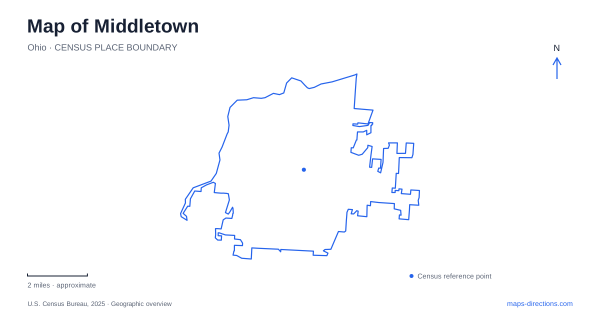
Street tiles load from OpenStreetMap when opened. The blue line shows the 2025 Census boundary.
- State
- Ohio
- Population · July 2025
- 52,146
- Land area
- 26.3 sq mi
- Water area
- 0.4 sq mi
Middletown occupies a place in southwestern Ohio where the Great Miami River, industrial corridors, and older commercial streets tell overlapping stories. The river is the clearest geographical starting point. Downtown provides a second focus, while the Interstate 75 corridor connects the wider area with Cincinnati and Dayton. A useful map keeps these scales together: regional arrival, local streets, and the riverfront paths that carry a very different kind of journey.
A riverfront organized around Carmody Boulevard
Bicentennial Commons overlooks the Great Miami River and brings several outdoor destinations into one compact setting. Its River Center, AK Pavilion, brick walkways, and overlook make the riverbank more than a line separating land from water. The center opened in 2018, adding a building that serves people using the riverside recreation corridor. These are useful features to recognize when comparing a downtown outing with a longer bicycle trip.
The trail parking inventory identifies the River Center at 120 South Carmody Boulevard and Columbia Trailhead at 26 North Carmody Boulevard. Farther along the corridor, Eagle Trailhead uses 2399 North Carmody Boulevard. The repeated street name gives the riverfront a readable sequence. Someone arranging a group ride can choose a named starting place along that sequence instead of describing a broad stretch of bank.
Following the Great Miami River Trail
The Great Miami River Trail introduces a north–south pattern that differs from the street grid. Its local access points extend onto North Verity Parkway, including Flyer Trailhead at 3801 and Miami Trailhead at 4401. Those names help explain how a map of Middletown can show recreation distributed through a substantial river corridor rather than concentrated inside one park.
At the River Center, MetroParks lists drinking fountains, restrooms, and a bicycle repair station. That makes the center a practical reference for deciding where to begin or pause. The wider trail system reaches beyond the municipality, so the stretch visible on a city map is only part of its geography. For a short outing, the relationship between the selected trailheads matters more than the full regional destination shown at a distant end of the route.
Canal history along Verity Parkway
The Miami and Erie Canal adds an earlier transportation layer. Its groundbreaking took place here on July 21, 1825. A boulder monument commemorates that event at Verity Parkway and Yankee Road, on property owned by the steel company. The location connects a canal story with the industrial landscape that followed it. It also helps make sense of why water transportation belongs in an account of local streets, even when the modern trip is entirely by car.
Smith Park provides another canal reference through its locktender's house. The city places the park at Tytus and Verity Parkway and lists a fishing pond, trails, sports grounds, and a skatepark among its features. The historic structure and recreational grounds make this a different stop from the canal groundbreaking marker. One records a particular event; the other places a reminder of canal operations inside a larger public landscape.
Art beside the downtown streets
Middletown Arts Center stands at 130 North Verity Parkway. Founded in 1957, the organization first worked from an American Legion basement and moved to its present building in 1975. That progression adds a cultural history to a road already associated with the canal and river corridor. The building is an identifiable destination within the downtown area, useful when planning a visit around an exhibition or class.
Central Avenue is another downtown reference, with the city's Canal Days celebration using it as a parade route. Reading that avenue together with Verity Parkway reveals how cultural activity and transport history overlap in the center. A street can function as an ordinary connection on one visit and as the focus of a public gathering on another. The physical street pattern remains useful even when a particular event is absent.
Reading the city through its connected landscapes
A map of Middletown becomes more informative when these locations are considered together. Carmody Boulevard organizes river access, Verity Parkway links several historic and cultural references, and Smith Park expands the outdoor picture beyond the trail itself. The canal monument explains an earlier movement of goods, while the River Center supports today's recreational movement along the water.
For a first visit to Middletown, pairing the downtown arts area with a riverfront stop gives a coherent introduction without trying to cover the whole municipality. A return visit can follow the trailhead sequence or explore the canal landmarks in greater detail. Each approach draws on a different part of the same landscape, with the Great Miami River providing the enduring geographical reference.
Map and statistics: U.S. Census Bureau, 2025 Gazetteer, January 2025 generalized place boundaries and Vintage 2025 population estimates. Local references: City of Middletown; MetroParks of Butler County; Middletown Arts Center. Article prepared by Maps & Directions.