Map of Miami
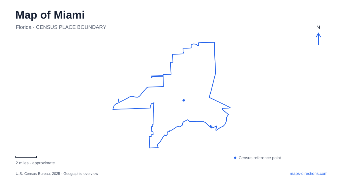
Street tiles load from OpenStreetMap when opened. The blue line shows the 2025 Census boundary.
- State
- Florida
- Population · July 2025
- 489,812
- Land area
- 36.0 sq mi
- Water area
- 20.1 sq mi
Miami has a waterfront skyline, but its map is not simply a strip of development beside a beach. Biscayne Bay separates the mainland neighborhoods from barrier-island destinations, while a river divides important parts of the central business area. Inland cultural corridors, elevated transit loops, and the causeway toward Virginia Key add further layers. Begin with those relationships and the city's apparently similar place names become easier to distinguish.
Mainland neighborhoods and the bay
Miami Beach is a separate destination across Biscayne Bay. South Beach belongs to that island setting, whereas Downtown and Brickell occupy the mainland side. Confusing the two can place an intended hotel, restaurant, or cultural visit on the opposite side of the water. On a regional map, identify the shoreline and the connecting causeways before comparing addresses.
The mainland waterfront has its own public spaces and cultural destinations. Maurice A. Ferré Park contains the Pérez art museum and the Frost science museum on a shared bayfront campus. Farther inland, Wynwood is associated with murals and galleries, while the Design District brings public art and shopping together. These are distinct neighborhood concentrations rather than extensions of the oceanfront resort strip.
That distinction also helps when combining activities. A day organized around downtown museums involves a different geographic grouping from one centered on South Beach. The bay is a major feature of both settings, but their street networks and approaches are separate.
The river and the downtown transit loops
The Miami River provides an important dividing line between Downtown and Brickell. Brickell lies on its southern side, with a concentration of financial, residential, and commercial buildings. A map that follows only the skyline can obscure this break; following the water reveals why connections between the two areas gather at crossings.
Metromover provides another way to understand the central districts. The elevated system serves Downtown, Omni, and Brickell through three named loops: Inner, Omni, and Brickell. Its northern and southern extensions connect a broader central area than the compact Inner Loop alone. The Financial District and School Board stations mark useful ends of the system's overall reach.
The loop names describe service patterns, so they are more useful for choosing a ride than assuming every approaching vehicle serves every stop. County route diagrams show the connections and direction of travel. Service alterations can change the usual pattern, making the current diagram more informative than an old screenshot. The system is free, but it is a central-area service rather than a substitute for every journey across the wider region.
Calle Ocho is also a numbered street
Little Havana's best-known corridor, Calle Ocho, is Southwest Eighth Street. Its cultural identity and numbered address therefore describe the same road. Domino Park, formally Máximo Gómez Park, stands at Southwest Eighth Street and 15th Avenue, beside the historic Tower Theater area. These neighboring landmarks make a useful focus for reading the surrounding blocks.
The district also extends beyond that familiar intersection. The Walk of Fame occupies part of the street between 12th and 17th avenues, while Cuban Memorial Boulevard follows Southwest 13th Avenue south from Eighth Street. The result is a cultural landscape with both an east–west commercial corridor and a north–south memorial space.
Address prefixes matter here. The municipal numbering system uses Flagler Street and Miami Avenue as major reference lines for its quadrants. Keeping “SW” with a Little Havana address preserves information that the street number alone cannot supply. Calle Ocho's local name is helpful for orientation, but the full numbered address remains useful for locating a particular block.
The Grove and the island approach
Coconut Grove offers another mainland bayfront setting. Peacock Park occupies a site connected with the Peacock family's nineteenth-century Bayview House hotel. Its open view of Biscayne Bay and recreational grounds give the neighborhood a waterfront gathering space with a history quite different from the downtown high-rise districts.
Grand Avenue, South Bayshore Drive, and McFarlane Road are useful local references. The neighborhood's trolley connections include the Grove rail stations, Peacock Park, and Kennedy Park, linking the commercial and waterfront areas with the wider transport network.
For Virginia Key and Key Biscayne, trace the Rickenbacker Causeway. Its mainland end is near Brickell Avenue; successive segments include the West Bridge, Hobie Island, William M. Powell Bridge, Virginia Key, and Bear Cut Bridge. Beyond Bear Cut, the road becomes Crandon Boulevard. This is the land-access corridor to Crandon Park and Bill Baggs Cape Florida State Park. Reading that sequence completes a broader picture of Miami: cultural streets inland, business districts by the river, and separate bay crossings leading toward island landscapes.
Map and statistics: U.S. Census Bureau, 2025 Gazetteer, January 2025 generalized place boundaries and Vintage 2025 population estimates. Local references: Greater Miami Convention & Visitors Bureau; Miami-Dade County; City of Miami Code of Ordinances; Coconut Grove Business Improvement District. Article prepared by Maps & Directions.