Map of Meridian
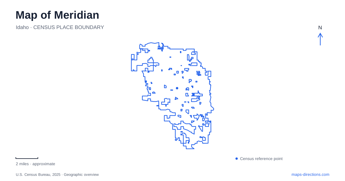
Street tiles load from OpenStreetMap when opened. The blue line shows the 2025 Census boundary.
- State
- Idaho
- Population · July 2025
- 142,988
- Land area
- 37.6 sq mi
- Water area
- 0.1 sq mi
Meridian's map brings an older agricultural town into contact with newer civic, commercial and recreation spaces. The historical center is one point of reference, but large parks and creek pathways extend the picture beyond its original streets. Three useful anchors are City Hall on East Broadway Avenue, Kleiner Park near Eagle Road and Fairview Avenue, and Settlers Park at Ustick Road. Each represents a different part of the city's development. Connecting them conceptually helps explain the area without assuming that the busiest modern shopping district and the historical center are the same place.
An early railway intersection
The city's transportation archive places the former Interurban Depot at the intersection of Meridian Road and Idaho Street. It opened in 1913 as part of an electric railway system connecting farming communities with markets and other towns. Dairy and orchard production gave that transport network a practical purpose: goods needed routes out, and residents needed connections across the valley.
This historical reference makes a small downtown intersection more informative than it might first appear. It belonged to a regional movement system before today's roads became the dominant way to interpret the area. The archive's depot photograph is evidence of that earlier arrangement, not a description of a current passenger service. When comparing an old image with a modern map, look for the street relationship and the commercial setting rather than expecting every transport function to survive unchanged.
The same municipal archive records longer railway journeys by students traveling north to the University of Idaho. That history shows how local tracks connected everyday town life to destinations much farther away.
Art inside the civic building
Initial Point Gallery occupies the third floor of City Hall at 33 East Broadway Avenue. Its location directly across from the mayor's office brings exhibitions into an administrative building rather than placing them in a separate museum campus. Wall displays and cases accommodate different kinds of artwork, and the city arts commission organizes the exhibition program.
For a downtown visit, the distinction is useful: the destination is inside the civic building, above street level. A map can identify the address, but the gallery's floor and setting explain the final part of the visit. Meridian's cultural geography therefore includes a space that can be overlooked if attention is limited to buildings labeled as museums. The exhibition program changes, while the relationship between the gallery and City Hall remains the central orientation fact.
Former farmland becomes Kleiner Park
Julius M. Kleiner Memorial Park opened in 2012 on land once farmed by its namesake. Its location behind The Village near Eagle Road and Fairview Avenue places a substantial public landscape beside a major commercial destination. The park and shopping area are neighbors with different functions, rather than interchangeable names for the same property.
Within the park, fishing ponds, a bandshell, a labyrinth, gardens and the Rock of Honor Veterans Memorial create several distinct destinations. The former farmland is now organized around recreation, gathering and remembrance. That range explains why the internal park map is useful even after the correct entrance has been located.
A meeting at the bandshell and a visit to the senior center can lead to different parts of the grounds. Choosing the specific feature makes more sense than using the entire park as an imprecise meeting point. The agricultural history also gives context to a landscape that otherwise might appear entirely contemporary.
Settlers Park has its own recreation pattern
Settlers Park sits at the intersection of Meridian and Ustick roads. Developed in phases between 2003 and 2014, it combines athletic fields and courts with a pond, paths, a sound garden and an accessible playground. Its layout supports both organized sport and less structured visits.
That combination matters when reading the site plan. A sports event can draw attention to a field complex, while a family outing may focus on the playground or splash-pad area. The city distinguishes picnic shelters by their relationships to those features. It is therefore useful to identify the activity area within the grounds before selecting a meeting location, particularly when several groups are using the park at once.
Five Mile waterway, Ten Mile road
The Fivemile Creek Trailhub offers a memorable naming distinction on a map of Meridian. The facility is on North Ten Mile Road, north of Ustick Road, but serves the Five Mile Pathway. The road name and trail name refer to different features, so their numbers should not be made to match when searching for the entrance.
Established in 2023, the small trailhead provides parking, bicycle racks, seating, water and public art. It functions as an access point to a linear route rather than as another large regional park. That difference completes the local picture: downtown holds civic and historical sites, larger parks concentrate activities, and a creek pathway provides movement between parts of the developed landscape.
Map and statistics: U.S. Census Bureau, 2025 Gazetteer, January 2025 generalized place boundaries and Vintage 2025 population estimates. Local references: City of Meridian. Article prepared by Maps & Directions.