Map of Meriden
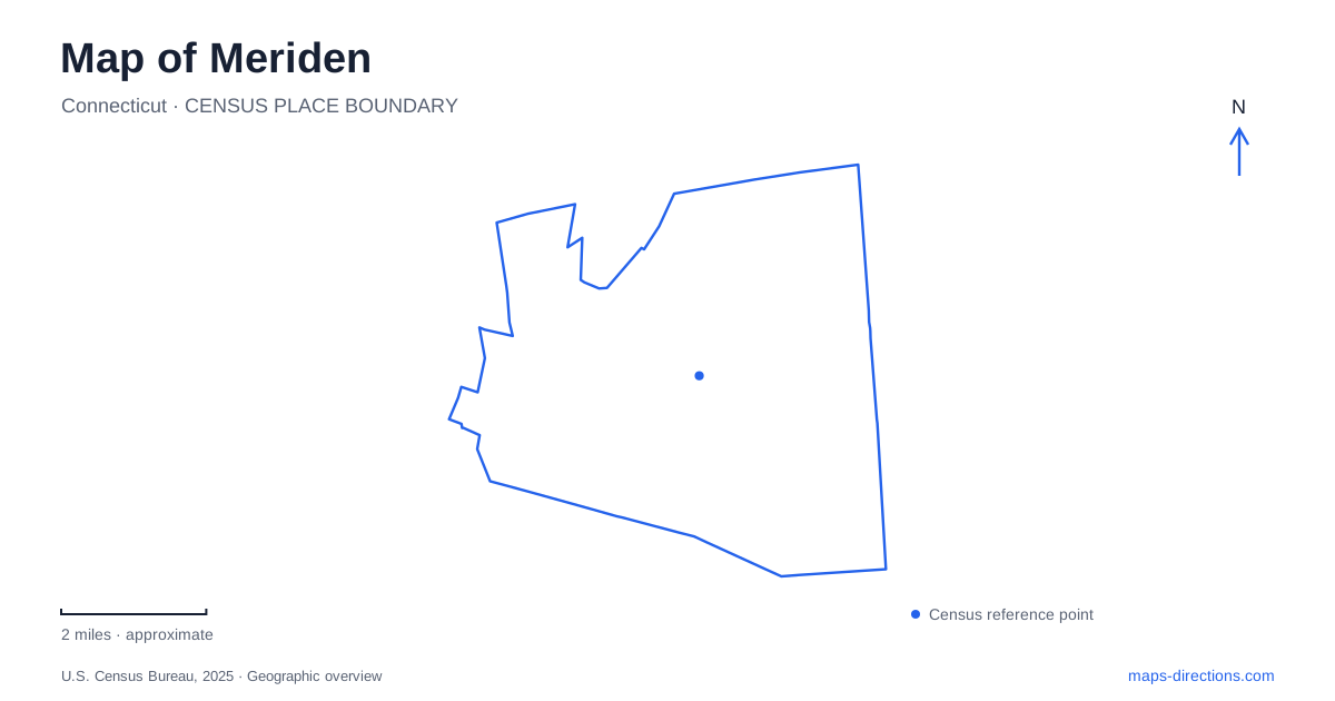
Street tiles load from OpenStreetMap when opened. The blue line shows the 2025 Census boundary.
- State
- Connecticut
- Population · July 2025
- 60,810
- Land area
- 23.7 sq mi
- Water area
- 0.4 sq mi
Meriden has a striking contrast between its downtown streets and the rocky heights above the surrounding valley. Water adds another layer: Harbor Brook shapes the central green, while the Quinnipiac River and Hanover Pond organize a separate trail landscape. A useful map therefore needs more than a list of parks. It should distinguish the downtown civic setting, the wooded ridge at Hubbard Park, and the river corridor leading toward Cheshire. Each reveals a different part of the city's geography and history.
State Street and a downtown landscape rebuilt
The downtown green occupies the former Hub site at 77 State Street. Once a commercial and industrial property, the land was remediated and transformed into a park that also serves flood-control purposes. Its open space is consequently both a public destination and part of the city's response to Harbor Brook flooding. The landscape is not simply a decorative lawn placed among buildings.
The rail station stands across from the green at 60 State Street. That close relationship gives rail passengers a clear geographic reference on arrival and places transportation beside a major public space. The station's additional parking reference on Colony Street helps identify another side of the rail district without moving the destination away from State Street.
On a map of Meriden, this pairing is one of the simplest ways to establish downtown. The station marks a regional transport connection; the green reveals how a formerly developed site has been reshaped around water management and public use. Reading them together explains more about the center than either a railway symbol or a park symbol can convey alone.
Hubbard Park from Mirror Lake to East Peak
Hubbard Park contains two very different landscapes. The maintained recreation area includes Mirror Lake, the bandshell, play facilities, and other gathering spaces. The wooded area beyond the highway rises toward the rocky ridge and Castle Craig. The city's description explicitly distinguishes the recreation grounds south of the highway from the hiking landscape to its north.
That division is fundamental to understanding the park. A casual visit beside the lake and a climb toward the observation tower involve different terrain and different parts of a large property. Castle Craig stands on East Peak and dates to 1900. Its placement gives it a relationship to the wider skyline, whereas the lower park's landmarks are arranged around a more sheltered recreation setting.
For visitors examining Meriden, the tower is a useful regional landmark but a poor substitute for the entire park's geography. The map should retain Mirror Lake and the highway as well as the summit. Doing so makes the transition from maintained grounds to wooded slopes visible. The ridge's resistant trap rock also explains the dramatic elevation change above the surrounding lower land, giving the terrain a geological meaning beyond its scenic appearance.
Hanover Pond and the river-gorge approach
Lions Club Park on Oregon Road marks an entrance to the Quinnipiac River Gorge Trail. Red Bridge lies at the park's southern end, near the Hanover Pond landscape. The bridge now serves pedestrian and fishing uses, adding a recognizable historic feature to the trail approach rather than functioning as an ordinary road crossing.
The gorge trail follows an old railroad bed along the river toward the Cheshire boundary. River Road, also identified as Route 70 in the city's trail information, supplies another approach reference, and Dossin Beach parking is associated with the pond side. These names explain the local arrangement: the pond, bridge, entrance park, and gorge are neighboring parts of one river landscape, not alternate names for a single place.
This part of Meriden also preserves evidence of industrial water use. The city's trail account connects river power and dams with earlier manufacturing, while the reused rail alignment provides today's route through the gorge. A walk here therefore follows infrastructure shaped by both water and rail history. The present recreational landscape is built upon those older connections rather than being an untouched corridor outside the city's past.
Separate trail landscapes, one broader city
The Hanover Pond Trail and the Quinnipiac River Gorge Trail are identified separately in the city's linear-trail program. They belong to a wider vision for nonmotorized connections, but a planning map can also include future segments. The established names are the most useful starting points for selecting a specific outing.
A broader Meriden map can now be read through three clear settings. State Street combines the station with a flood-management park; Hubbard Park links lower recreation grounds to East Peak; and the Hanover area follows a pond, historic bridge, and river gorge. Each has its own internal landmarks and scale. Keeping those settings distinct makes it possible to plan a visit around the actual landscape, whether the purpose is arriving by train, walking beside water, or exploring the ridge above the city.
Map and statistics: U.S. Census Bureau, 2025 Gazetteer, January 2025 generalized place boundaries and Vintage 2025 population estimates. Local references: City of Meriden; Connecticut Department of Transportation; CTrail Hartford Line. Article prepared by Maps & Directions.