Map of Merced
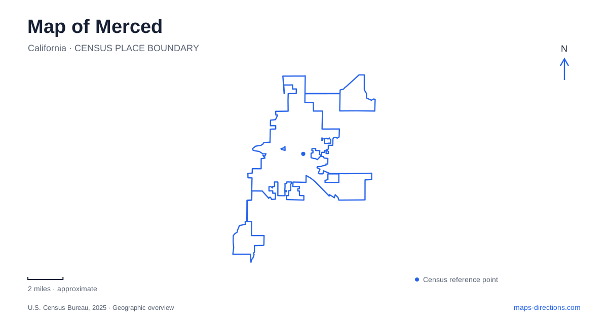
Street tiles load from OpenStreetMap when opened. The blue line shows the 2025 Census boundary.
- State
- California
- Population · July 2025
- 99,724
- Land area
- 26.0 sq mi
- Water area
- 0.0 sq mi
Merced has two particularly different centers of activity: the established downtown street grid and the university campus northeast of it. Main Street, the numbered streets, and lettered cross streets organize the older city. G Street, Bellevue Road, Campus Parkway, and Lake Road explain the approach to the newer academic district. A useful map shows both scales, because a downtown cultural visit and a campus appointment begin with very different destinations even when their addresses share the same city name.
Main Street and the courthouse landscape
The Art Kamangar Center at the historic theatre stands at 301 West Main Street. Opened in 1931, the Reid Brothers-designed venue combined entertainment space with retail premises and apartments along its Main Street frontage. Its restored auditorium recalls a Spanish courtyard, while its tower supplies a recognizable downtown landmark.
The Courthouse Museum occupies the Italianate courthouse built in 1875 at Twenty-first and N streets. The building's three-story form and architectural history make it a different kind of landmark from the theatre. Together, the two sites trace civic and cultural investment across distinct periods without requiring them to occupy the same street.
Merced also has active court facilities whose names can create confusion with the museum. The Superior Court lists its Twenty-first Street building at 627 West Twenty-first Street and the Ogletree Jr. Courthouse at 2260 N Street. A museum visit should be mapped to the historic museum itself; a court appointment belongs to the exact building named in the court's instructions. The shared courthouse terminology otherwise hides a practical distinction within the central grid.
Rail arrival and Applegate Park
The passenger rail station is at 324 West Twenty-fourth Street. Amtrak's station information identifies it as a gateway for onward travel toward Yosemite, but the station remains an urban arrival point. It should not be confused with the university's northeastern campus or with a national-park destination simply because connecting travel can begin there.
Applegate Park lies along West Twenty-fifth Street between R and M streets, with its city-listed address at 1045 West Twenty-fifth. The park combines a zoo, bike path, picnic facilities, playground, recreation hall, skatepark, and courts. Its broad street frontage helps explain why different activities may be approached from different parts of the surrounding blocks.
For a local Merced itinerary, these addresses create a useful sequence of urban reference points: Main Street for the theatre, Twenty-first and N for the museum, Twenty-fourth for rail, and Twenty-fifth for Applegate. The numbers clarify their relative positions without implying that every destination has the same purpose or entrance arrangement.
The university's downtown and campus addresses
The University of California campus is at 5200 North Lake Road, northeast of the downtown area. The university separately lists a Downtown Center at 655 West Eighteenth Street. This is one of the most consequential address distinctions in the city: an appointment associated with the university may belong to either the central street grid or the main academic campus.
The official campus directions describe two principal approaches from Highway 99. One uses G Street and East Bellevue Road. Another uses Campus Parkway to Yosemite Avenue, then Lake Road toward the Bellevue intersection. These routes converge on the campus area from different directions, explaining why a map can offer alternatives without either being a different university location.
The main visitor approach is at Bellevue and Lake roads, with the Bellevue parking area serving campus arrivals. Once there, a campus map becomes useful for individual buildings and pedestrian movement. For Merced visitors, the city road map gets the journey into the correct district, while the university's internal map resolves the final destination.
Lake Yosemite is a nearby recreation area
Lake Yosemite Recreation Area is at 5714 Lake Road. Its proximity to the university makes Lake Road an important shared reference, but the recreation area has its own entrance and reservation arrangements. The lake's name refers to a local reservoir destination; it should not be mistaken for a location inside Yosemite National Park.
Operations changed in February 2026, when the irrigation district took over park functions and reservations from the county. That change matters when using older park listings: the physical address still locates the place, while the organization handling a picnic-area reservation has changed. The current operator lists named reservable sites such as Rotary Cove, adding a second level of detail beyond the lake-wide label.
A map of Merced is most useful when it preserves these distinctions: downtown theatre and museum, active court buildings, rail arrival, Applegate's recreation grounds, the university's two locations, and the separate lake destination. Their road relationships tell a clear story of an older urban center connected to a northeastern education and recreation landscape.
Map and statistics: U.S. Census Bureau, 2025 Gazetteer, January 2025 generalized place boundaries and Vintage 2025 population estimates. Local references: Merced Theatre Foundation; Merced County Historical Society; Superior Court of California County of Merced; Amtrak; City of Merced; University of California Merced; Merced County; Merced Irrigation District. Article prepared by Maps & Directions.