Map of Mentor
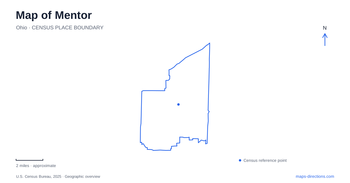
Street tiles load from OpenStreetMap when opened. The blue line shows the 2025 Census boundary.
- State
- Ohio
- Population · July 2025
- 47,010
- Land area
- 27.8 sq mi
- Water area
- 0.2 sq mi
Mentor's northern edge is not one uniform beach. Lake Erie, sheltered lagoon water, marsh, dunes and wooded bluff occur close together, creating several different landscapes within a relatively small area. Farther inland, the Garfield home preserves a different story of farming, rail travel and presidential politics. Reading these two settings together gives the local map more meaning than a collection of recreation icons along a blue shoreline.
The lagoon landscape has several layers
The city describes its lagoon preserve as a combination of riverine marsh, mature oak bluff and Lake Erie shoreline, beside a marina occupying sheltered waterways. The upland trees and lower wet areas are not interchangeable green space. They represent changes in elevation, soils and exposure that help explain why a trail can move through very different surroundings without traveling far.
The marina also has a different relationship to the water from the open lakeshore. Its protected channels provide a boating setting, while the beach and dunes face the larger lake. A map showing both should retain their outlines rather than simplifying every blue area into one lake-access symbol. The city identifies trails with views of the marina, marsh, upland forest and shore, so the route itself is a way to compare those environments.
Marsh access and shoreline access are different
Mentor Marsh State Nature Preserve is an adjoining natural destination with separately identified access references. The city's natural-resources information names the Zimmerman Trail near Shipman Pond and the Wake Robin Boardwalk off Woodridge Lane. These are more precise geographic clues than a broad search for the marsh, especially when the intended activity is a boardwalk visit rather than a walk beside the marina.
The wetlands also help explain the area's importance for birds. City natural-resources material describes migration use in the upland forest near the lake and a range of marsh habitats used by different species. The map's value is not to promise a particular sighting, but to show the habitat contrasts: wooded cover, open wetland and shore each offer a different kind of setting. Choosing one access point therefore also chooses which part of that landscape is most immediately encountered.
Headlands belongs to the wider coastal picture
To understand the broader Mentor area, include Headlands Beach and Headlands Dunes on the regional view. Ohio's coastal-access guide places the dune preserve east of the beach park and west of the Fairport Harbor West Breakwater. It explains the dunes through sand moving along the coast and accumulating beside the breakwater. This is a landscape shaped by both lake processes and constructed harbor infrastructure.
The guide identifies access through the beach park at the northern end of State Route 44, with Headlands Road and Williams Street as local references. It also identifies the dune preserve's jurisdiction as Painesville Township. A regional attraction can be closely associated with the surrounding city area without belonging to the same municipal boundary. Keeping that distinction visible is useful when comparing park operators, addresses and mapped city limits.
Lawnfield preserves an inland transport story
James A. Garfield National Historic Site is at 8095 Mentor Avenue. The property known as Lawnfield was a farm and the setting of Garfield's 1880 front-porch presidential campaign. National Park Service landscape research describes visitors arriving by rail onto the candidate's farm and walking toward the house. The property's historic arrangement therefore connects domestic space, agricultural land and a transport corridor.
That story makes the site more than an isolated presidential-home marker. The paths, house and surviving landscape represent how visitors encountered the campaign at the time. A current street map locates the site, while a cultural-landscape plan explains relationships that an ordinary road map will not show. The historic rail arrival is interpretation of the property, not a claim that a present-day passenger train stops at the house.
A changing lake edge
The city has documented erosion affecting portions of the lagoon shoreline, including a section of historic Headlands Road. This is a useful reminder that a coastal line is not permanently fixed. Old road alignments, aerial images and historic descriptions can preserve evidence of a shore configuration different from the one visible today.
A map of Mentor works best when the inland historic corridor and the lakeward habitat sequence remain distinct. Use the coastal view to understand lagoon water, marsh, bluff and dunes; use the historic-site material to understand Lawnfield's farm and campaign setting. Together they explain why the city's northern landscape and its inland heritage destination call for different scales, different routes and different expectations of what the map can reveal.
Map and statistics: U.S. Census Bureau, 2025 Gazetteer, January 2025 generalized place boundaries and Vintage 2025 population estimates. Local references: City of Mentor; Ohio Department of Natural Resources; National Park Service. Article prepared by Maps & Directions.