Map of Menomonee Falls
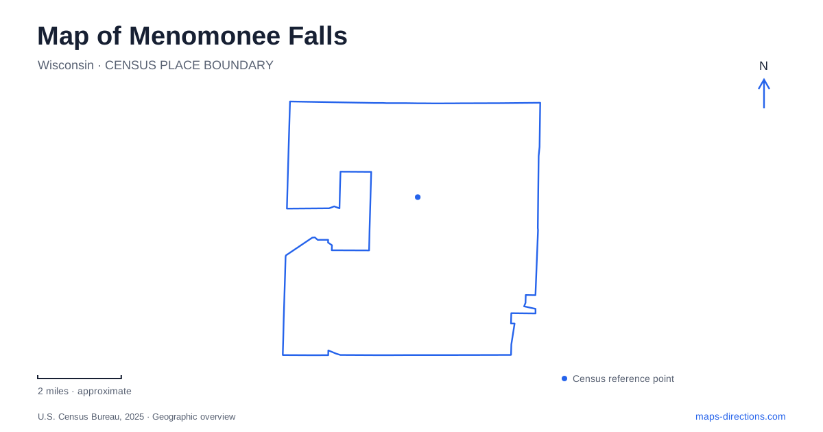
Street tiles load from OpenStreetMap when opened. The blue line shows the 2025 Census boundary.
- State
- Wisconsin
- Population · July 2025
- 41,291
- Land area
- 32.9 sq mi
- Water area
- 0.4 sq mi
Menomonee Falls has a particularly revealing pair of river landmarks: the original falls associated with its name and a mill-dam spillway that is also a familiar downtown sight. They belong to the same river landscape but tell different stories. Starting with that distinction helps connect industrial history, present-day parks, and the roads around the older commercial center.
Two kinds of falling water
Lime Kiln Park, listed on Mill Street, contains the original falls of the Menomonee River. The village describes historic lime-kiln remnants on the west side and the former limestone quarry on the east. Water, rock, and early industry therefore appear together in a relatively compact setting. The park's name records the processing of limestone, while the river feature preserves the geographical reason for the community's name.
Mill Pond Park lies north of Main Street. Here the important water feature is an impoundment made to supply a mill, with the Lepper Dam spillway at its southern end. The mill itself has disappeared, but the pond and dam preserve the outline of that former use. A gazebo, plaza, paths, and gathering space now frame a landscape that once supplied mechanical power.
For someone reading a map of Menomonee Falls, these two sites offer a useful way to distinguish natural geography from an industrial alteration of it. A photograph of water descending at the mill pond does not by itself identify the original falls. Following the names of the parks and the river makes the relationship clearer.
Commercial corners and public riverbanks
The village's historical account describes nineteenth-century commercial growth around the intersection of Fond du Lac Road and Waukesha Road, known as the Four Corners. Later railway access supported another commercial cluster at Main and Water streets. These successive concentrations show that the center developed around changing transport opportunities rather than around a single unchanging square.
Public access to the mill pond also developed over time. The village acquired riverbank land from adjoining owners during the late 1940s and early 1950s. Its park history records an unusual part of those arrangements: fences with gates adjoining the properties were built along the river between Main Street and Roosevelt Drive. The park was assembled from land previously associated with nearby homes and businesses.
That history gives the riverfront a more specific meaning than simply identifying it as downtown open space. The banks became a shared recreational landscape through acquisition and improvement, while the older commercial streets remained close by. The water-power setting and the public gathering place are successive uses of the same area.
Village Park and the northern historic grounds
Village Park provides another gathering place in Menomonee Falls. Its current facilities include the Milwaukee Tool Amphitheatre, Falls Fest Plaza, a splash pad, and an accessible playground. The combination supports performances, markets, play, and everyday visits. It is a different kind of public space from the narrow riverbanks and mill pond.
Old Falls Village, despite the similar wording, is a separate historic park at County Line Road and Pilgrim Road on the northern boundary. Its original grounds included the Miller-Davidson farmstead, which the village purchased in 1965. The historical society formed the following year to develop and operate the site as a park and museum.
The recreation plan identifies historic buildings, a caboose, lawns, trails, and gathering facilities on those grounds. Together they create a place to investigate buildings and material history, while Village Park emphasizes contemporary community activity. Keeping those purposes and locations distinct makes both names easier to interpret on a map.
A railway corridor beyond downtown
The Bugline Trail adds a longer-distance layer to Menomonee Falls. The recreation plan traces it along the former Chicago, Milwaukee, St. Paul and Pacific Railroad corridor from Appleton Avenue toward Main Street in Merton. Wooded sections and quarries appear along its course, linking present recreation with an earlier transport landscape.
This is a regional corridor, so a useful map view extends beyond the village's own parks. The route passes through a landscape where extraction, rail transport, and later recreational reuse can be read together. Its long linear form contrasts with the compact lawns and plazas around the downtown river.
These differences give Menomonee Falls an unusually concrete map story. The falls and limestone setting explain one early focus; the dam and pond record water-powered production; commercial intersections show shifting access; and the rail trail preserves another transport route. Today's parks make those layers visible through several distinct kinds of public space.
Map and statistics: U.S. Census Bureau, 2025 Gazetteer, January 2025 generalized place boundaries and Vintage 2025 population estimates. Local references: Village of Menomonee Falls. Article prepared by Maps & Directions.