Map of Menifee
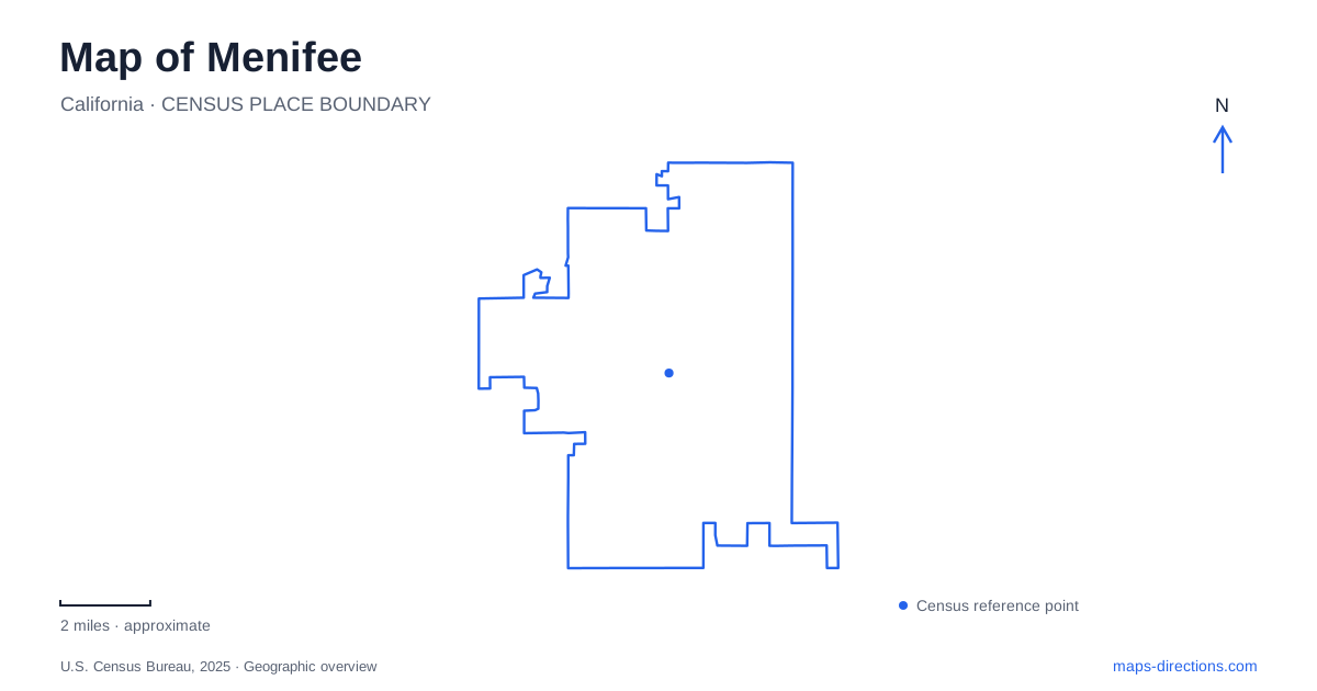
Street tiles load from OpenStreetMap when opened. The blue line shows the 2025 Census boundary.
- State
- California
- Population · July 2025
- 118,592
- Land area
- 46.5 sq mi
- Water area
- 0.1 sq mi
Menifee combines communities that developed at different times and for different reasons. Sun City grew as a planned retirement community, Quail Valley retains a hilly residential setting, and Romoland carries an agricultural history. Interstate 215 runs through the central area, while Newport, Bradley, and McCall organize important commercial destinations. The result is a city with several recognizable local centers rather than one historic downtown that explains every address. Community names remain useful because they describe differences that predate incorporation.
Sun City, Quail Valley, and Romoland
The city's history places Sun City in the central area, Quail Valley to the northwest, and Romoland to the northeast. These relationships provide a first framework for reading the map. Sun City's development in the 1960s introduced a planned residential and commercial setting associated with Del Webb, while the other communities followed different patterns.
The municipal planning introduction describes Quail Valley as a hilly and comparatively isolated residential area. It contrasts that setting with the more rural landscape around Bell Mountain and south of Garbani Road, and with the master-planned communities of Paloma Valley. These differences are visible in how streets relate to hills, open land, and larger development areas.
Cityhood arrived in 2008, bringing these established places into one municipal government. A map of Menifee therefore contains both a newer city boundary and older community identities. The boundary is useful for civic services, while the community names help explain the character and history of the destination itself.
Family names and section lines survive in the roads
The city's road-history account explains that early roads were laid along section lines, producing mile-spaced routes across the valley. Many later took the names of families living nearby. This agricultural surveying pattern helps explain long, direct road alignments that remain important even where their surroundings have become suburban.
Briggs Road recalls a family associated with a gold discovery near the Leon post office; the municipal account places the mine at Garbani and Briggs. Ethanac's name derives from Ethan Allen Chase, whose property was used for alfalfa. The same account describes a railway and post-office settlement there, followed by the post office's move to Romoland in 1925.
These names make a Menifee map a record of earlier land use as well as a guide to present travel. Mining, farming, and railway activity left traces in the road vocabulary. The present intersection can be located precisely even when the activity that gave it historical importance has disappeared.
La Piedra and the contemporary civic landscape
Mt. San Jacinto College's Menifee Valley Campus is at 28237 La Piedra Road. Opened in 1990 as the district's second campus, it includes allied health programs, a library, a student center, and other academic and support facilities. La Piedra therefore identifies an educational destination with its own internal building layout rather than merely a route through residential development.
The college's wider district includes separate campuses elsewhere, so the La Piedra location is the useful reference for a local appointment. Within the campus, building numbers refine that location further. The road address places the institution in the city; the campus map explains how its classrooms and services relate to one another.
Parks add another layer of local centers. Along Heritage Lake Drive, the municipal directory identifies Discovery Park at Calm Horizon Drive, Heritage Park at McCall Boulevard, and Heritage Lake Sports Park farther along the named corridor. Their different cross streets and facilities help distinguish neighborhood recreation from larger sports destinations within the same development area.
The directory also separates city-owned sites from parks owned by the Valley-Wide district. That administrative distinction explains why facilities within the same municipal map may have different reservation contacts and operating arrangements. Geographic proximity does not necessarily mean a single park organization manages every site.
Historical collections on Highway 74
The Motte Historical Museum gives a visitor address of 28380 Highway 74 for its barn, while listing a separate office address in Perris. The barn location is the relevant map point for the collection. This places a historical destination on another major corridor, apart from the La Piedra campus and Sun City's commercial streets.
The local historical association has also announced a move of its history museum to 28390 CA-74, across the parking lot from the Motte museum. Its own visitor page reports a temporary closure during relocation, with no opening date established. Older references to a Garbani Road museum location should therefore be understood as historical information rather than a current visiting instruction.
These layers give Menifee a distinctive map: older communities, surveyed farm roads, a college corridor, neighborhood parks, and a changing museum setting. Reading them together shows how an incorporated city can preserve much older geographic identities while adding public destinations.
Map and statistics: U.S. Census Bureau, 2025 Gazetteer, January 2025 generalized place boundaries and Vintage 2025 population estimates. Local references: City of Menifee; Mt. San Jacinto College; Motte Historical Museum; Menifee Valley Historical Association. Article prepared by Maps & Directions.