Map of Medford
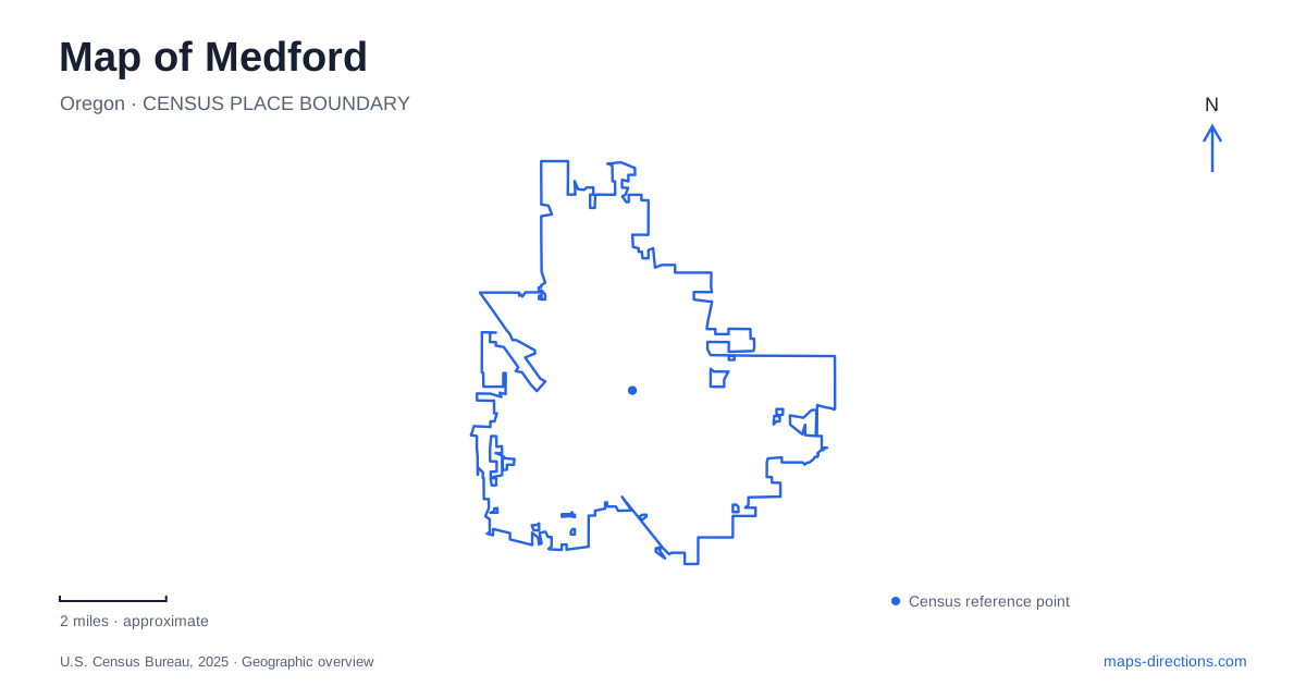
Street tiles load from OpenStreetMap when opened. The blue line shows the 2025 Census boundary.
- State
- Oregon
- Population · July 2025
- 86,494
- Land area
- 28.7 sq mi
- Water area
- 0.0 sq mi
Medford is easier to understand when a map distinguishes the compact downtown, the creek corridor and the larger hillside recreation landscape. These are different kinds of destinations, even when the same screen displays them with identical green park symbols. A downtown square can be approached by its surrounding streets; a long shared-use path requires a chosen access point; a hillside park needs an approach road and a trail destination. Reading those differences before requesting directions makes the map more useful than simply zooming toward the nearest attraction label.
Begin with a downtown address
Alba Park offers a concrete downtown reference. The city lists it at 301 West Main Street, across Eighth Street from City Hall. That pairing is useful because it provides both a street address and a neighboring civic landmark. If a search produces a broad downtown pin, compare its position with this small cluster rather than assuming the pin identifies the entrance to the building you need.
The park is a small neighborhood space, not the beginning of an extensive backcountry outing. On a map of Medford, its scale should be read against the surrounding blocks. A visitor with several downtown appointments can mark the actual buildings first, then decide whether the park is a convenient orientation point between them. The name of a neighborhood or central district alone is too imprecise to determine where a driving trip should end.
Follow the creek as a corridor
The Bear Creek Greenway connects Ashland, Talent, Phoenix, the central city and Central Point. The municipal description identifies it as a paved multiuse trail about twenty miles long. This gives it a regional role very different from a path that loops around a single playground. A green line continuing off the edge of the screen may be the same route, rather than an unrelated park in the next community.
For a walk or bicycle outing in Medford, choose the access location before choosing the distance. The relevant questions are where to join the path, which direction to travel and where to leave it. A route planner set to driving can reasonably guide a vehicle toward a nearby road but should not be used to infer that the greenway itself carries cars. Keep the road journey and the path journey as separate parts of the plan.
A park name is not an entrance
Bear Creek Park includes several distinct facilities, including play space, a BMX track, an off-leash dog area, rentable pavilions and an outdoor amphitheater. That collection explains why a single central marker may be insufficient for meeting another person. Someone headed to the dog area and someone headed to a performance may both say they are going to the park while expecting different arrival points.
Identify the facility within the park, then inspect the surrounding paths and approach streets at a closer scale. When sharing a meeting place, use the facility name and a recognizable entrance or parking area instead of a dropped pin in the middle of the green polygon. The goal is a reproducible location that the other traveler can recognize, not merely agreement about which park appears on the map.
Separate the hillside approach from the trail
Prescott Park occupies a much larger recreation area. The city's directions place its access on Roxy Ann Drive off Hillcrest Road, while the listed location uses 3030 Roxy Ann Road. That distinction makes the official approach description useful alongside an address search. Compare both pieces of information instead of treating a variation between “Drive” and “Road” as evidence that there are two separate parks.
In eastern Medford, this is a destination where an automobile route and the intended outdoor activity must be planned separately. The park includes paved and unpaved walking trails, equestrian trails and parking. Reaching the park does not identify which trail suits an individual outing. Read a trail map for the selected route, and use the street map to understand the approach; neither view fully substitutes for the other.
Match the map to the purpose
The municipal recreation inventory distinguishes shared-use paths from individual park trails. It includes named connections associated with Hawthorne Park, Larson Creek and other local spaces. Those labels can explain why a short line appears beside a street without necessarily representing a long uninterrupted journey. A connection may be useful precisely because it links two facilities, even when its length looks insignificant at city scale.
A useful Medford itinerary therefore starts with the kind of destination: downtown address, creek access, specific park facility or hillside trailhead. Mark that destination precisely, check the appropriate approach and only then compare the wider route. This produces a clearer plan than collecting attraction names first and assuming that every green area can be entered from whichever road passes closest to its boundary.
Map and statistics: U.S. Census Bureau, 2025 Gazetteer, January 2025 generalized place boundaries and Vintage 2025 population estimates. Local references: City of Medford. Article prepared by Maps & Directions.