Map of McKinney
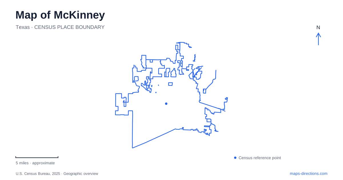
Street tiles load from OpenStreetMap when opened. The blue line shows the 2025 Census boundary.
- State
- Texas
- Population · July 2025
- 236,001
- Land area
- 68.7 sq mi
- Water area
- 0.7 sq mi
McKinney is easiest to understand through the relationship between its courthouse square, former agricultural industries and the creek landscapes beyond downtown. The historic center preserves the scale of a county seat built around public business and trade. Grain mills and cotton processing left another set of landmarks, while Wilson Creek and the surviving prairie habitats reveal a landscape that predates the expanding street network. A useful city map brings these different histories into view together.
A square shaped by county business
The old Collin County Courthouse anchors the downtown street pattern. Its original nineteenth-century design was French Second Empire, followed by a substantial 1927 remodeling in a classical style. That change helps explain why the building's appearance does not simply match the date of its first construction. The structure reopened as a performing arts center in 2006, adding a cultural use to the civic site at the heart of the square.
The courthouse's role as an arts center involves managed interior spaces and event arrangements. It remains a geographic landmark, but a map symbol for the arts center should not be interpreted as a promise of an available performance or interior visit. The surrounding commercial blocks have their own historical interest. Municipal walking tours identify buildings that once housed an opera house, newspaper office, movie theaters and jail, showing how many functions gathered around this compact center.
Beyond the storefronts
McKinney's industrial history grew from the surrounding agricultural land. The Texas Cotton Mill Company opened in 1910 and later became a major denim manufacturer. Grain production supported mills as well: the city's history records enterprises established in the 1890s and new milling facilities built in 1906. These were working parts of a regional economy, connecting farm output with processing and trade.
The municipal historic-district map distinguishes the commercial and residential districts from the Cotton Mill, Cotton Compress, Hill-Webb Grain Elevator and Collin County Mill and Elevator districts. That is a useful correction to the idea that all historic places here belong to one shopping square. The larger industrial sites tell a different story through their building footprints and specialized names. Reading those district labels alongside Industrial Boulevard and State Highway 5 gives the eastern and southern portions of the historic area more context.
Chestnut Square Heritage Village lies just south of the central square at 315 South Chestnut Street. Its collection includes six historic homes, a chapel, a general store and a replica one-room schoolhouse on about two and a half acres. The schoolhouse's status as a reproduction is worth distinguishing from the preserved homes. This concentrated collection makes domestic life, education and neighborhood commerce visible alongside the civic and industrial landmarks elsewhere downtown.
Wilson Creek's recreational corridor
Towne Lake Park provides a different organizing point on a map of McKinney. Its address is 1405 Wilson Creek Parkway, and its lake offers a fishing pier and a public kayak launch. The surrounding recreation includes an eighteen-hole disc golf course with trees and creek terrain, adding a land-based use to a park that might otherwise appear to be only a body of water.
The Wilson Creek Trail connects Towne Lake with Bonnie Wenk Park. This connection matters because it makes the creek corridor a recreational route between destinations, rather than simply an empty strip between roads. The recreation center near Towne Lake sits just off US 75, providing a major-road reference for an area whose internal experience revolves around water, paths and park facilities. The highway and the trail describe very different scales of movement through the same vicinity.
Prairie and woodland within the growing city
The Heard Natural Science Museum and Wildlife Sanctuary protects 289 acres in McKinney. Its habitats include Blackland prairie, wetlands, bottomland and upland forest, and a white rock escarpment. The bottomland forest occurs around the wetlands, Heron Slough and Wilson Creek, linking the sanctuary's ecology to the broader drainage landscape. These environments store floodwater and support wildlife within a heavily developed region.
The named trails help explain the habitat variety. Bluestem emphasizes prairie, Wood Duck combines wetland boardwalk and overland sections, and Sycamore features deep shade and large trees. These are nature trails rather than a uniform paved urban path system. The differences between open grassland, low wet ground and wooded shade are central to what the sanctuary preserves.
Farther out, Erwin Park offers 212 acres at 4300 County Road 1006, with wooded areas, open space, camping and mountain-bike trails maintained by the Dallas Off-Road Bicycle Association. Prairie restoration is also part of its management. Together, the sanctuary and this larger recreational landscape broaden the picture of McKinney beyond the courthouse: historic settlement, agricultural industry, creek corridors and prairie conservation remain distinct parts of the city's identity.
Map and statistics: U.S. Census Bureau, 2025 Gazetteer, January 2025 generalized place boundaries and Vintage 2025 population estimates. Local references: City of McKinney; Visit McKinney; Heard Museum. Article prepared by Maps & Directions.