Map of McAllen
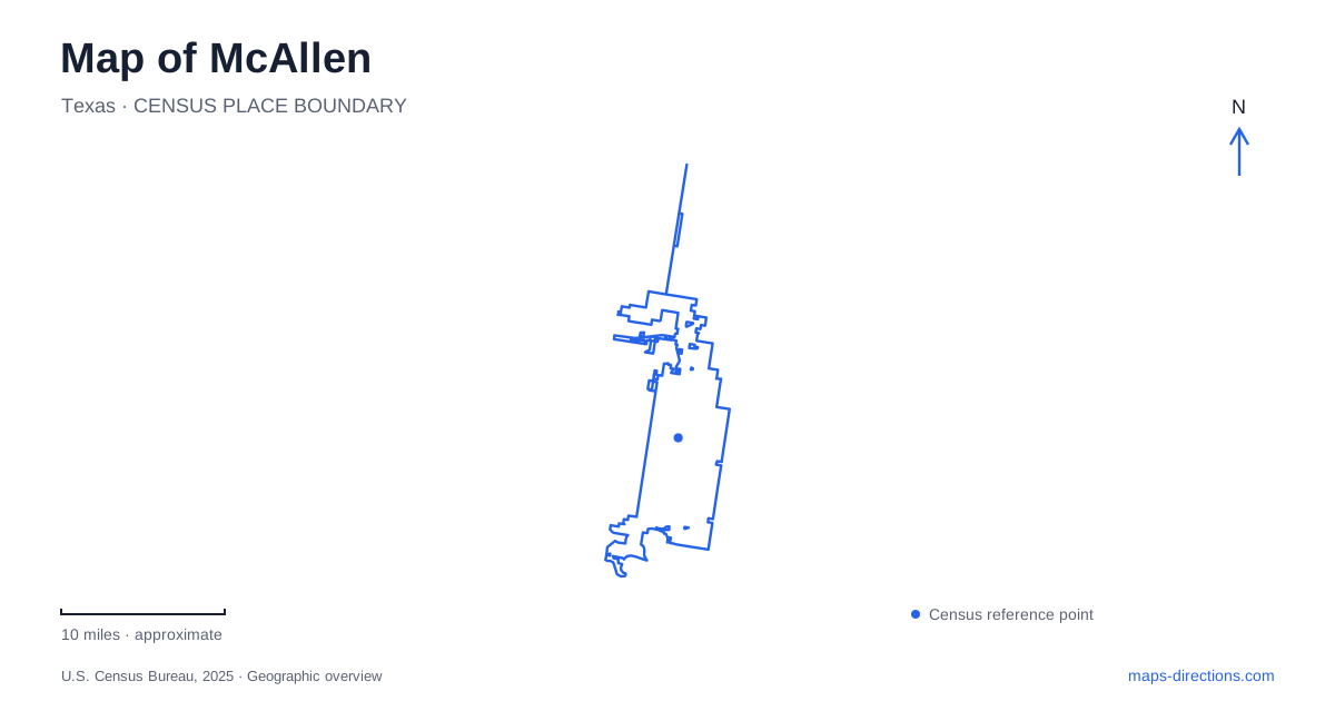
Street tiles load from OpenStreetMap when opened. The blue line shows the 2025 Census boundary.
- State
- Texas
- Population · July 2025
- 150,640
- Land area
- 62.4 sq mi
- Water area
- 0.4 sq mi
McAllen can be read through places that changed purpose: an adobe residence became a conservation center, a large retail shell became a library, and collected objects now explain local history. These transformations give a street map more meaning than a list of shopping centers alone. They also suggest a practical way to organize a visit around distinct cultural and outdoor stops, each with its own entrance and scale. The contrast between Sunset Drive, Nolana Avenue and Main Street is useful. A woodland visit involves paths within a managed property; the library and art museum occupy separate destinations along a named avenue; the heritage collection anchors a downtown address. Plotting those actual buildings is more informative than treating every cultural attraction as part of one walkable district.
An adobe home with a conservation purpose
Quinta Mazatlan began as a private Spanish Revival residence in 1935. The city acquired the property in 1998, preventing demolition of the adobe house, and opened it to the public in 2006. The building's domestic origins remain part of the story, but its public purpose now includes environmental education and habitat protection.
At 600 Sunset Drive, the site brings architecture into direct contact with Tamaulipan thornforest. Its participation in the World Birding Center connects a local patch of habitat with a wider Valley conservation effort. Resident birds and migrating species are reasons to study the vegetation, rather than simply using the grounds as scenery around the mansion. A map of McAllen should therefore distinguish this managed sanctuary from an ordinary neighborhood park. Use the visitor entrance and posted paths; the presence of trees on adjoining land does not establish public access.
Nolana Avenue's two different indoor stops
The International Museum of Art & Science stands at 1900 West Nolana Avenue. Art exhibitions and science interpretation share the institution, making it a different kind of destination from the local history museum. Its permanent learning spaces include Water Journey and Science On a Sphere, while other galleries change with the exhibition calendar. The building address stays useful even as the specific reason for visiting changes.
Exhibitions can connect the museum with other institutions, including its collaboration with the Anahuacalli Museum on Diego Rivera's interests in muralism, education, architecture and collecting. Such collaborations describe the museum's programming rather than a permanent room devoted to one artist. For an art-focused visit, consult the exhibition calendar before arranging the rest of the journey around a particular collection or theme.
Farther along the library story, the main branch occupies a former Walmart building. The project architect describes a roughly 124,500-square-foot interior on one level, reorganized into areas for children, adults, meetings and staff. This adaptive reuse makes McAllen's civic investment legible in the shape of an unusually large building. The old retail shell is real, but its present function is a public library. Look for the library's current visitor entrance rather than relying on an old store label or assuming every doorway serves patrons.
A small lake beside a longer trail
Town Lake at Firemen's Park is at 201 North First Street. The parks department identifies a three-acre lake and a half-mile paved trail, with the Second Street Hike and Bike Trail nearby. These are different measurements: the compact park circuit should not be mistaken for the length of the broader trail corridor.
The park includes picnic areas and a playground, while the H2O Hut provides equipment rentals. Fishing is catch-and-release, so the water is a recreation destination with specific rules rather than a place to collect a meal. Boat rental availability also depends on the concession's schedule, which is separate from the existence of the park itself. On a McAllen outing, decide whether the lake is a brief pause, a walking destination or a planned rental activity; those choices require different amounts of time.
A downtown address for the city's memory
The Heritage Center at 301 South Main Street presents local history and culture. Its collections and programs give a more focused starting point for understanding the community than a general regional attraction. The museum also schedules group visits, which means an organized party should make arrangements rather than treating a map pin as a reservation.
A useful McAllen itinerary can therefore combine several kinds of evidence: preserved architecture at Quinta Mazatlan, scientific and artistic interpretation on Nolana, recreation around Town Lake, and community memory on Main Street. Keep the sanctuary paths, the lake circuit and the roads between cultural buildings separate on the map. Their different scales are precisely what make this collection of stops informative, instead of an interchangeable list of things to do.
Map and statistics: U.S. Census Bureau, 2025 Gazetteer, January 2025 generalized place boundaries and Vintage 2025 population estimates. Local references: City of McAllen; International Museum of Art & Science; IMAS; MSR Design; McAllen Parks and Recreation; McAllen Heritage Center. Article prepared by Maps & Directions.