Map of Massachusetts
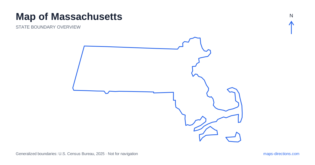
Massachusetts stretches from a densely settled Atlantic coast to inland valleys and the hills of the Berkshires. Boston is the dominant eastern reference point, but Worcester, Springfield and Pittsfield help reveal the state's broader east-to-west structure. Cape Cod extends southeast from the mainland, and the offshore islands require their own transport plans. Start by locating the region of the visit rather than treating every destination as part of greater Boston. The state's compact appearance can conceal substantial differences between an urban arrival, a mountain stay and an island transfer.
Separate the eastern metropolitan region from the coast beyond it
Eastern Massachusetts includes Boston and a network of neighboring cities and suburbs connected by roads, rail corridors and river crossings. Cambridge lies across the Charles River from parts of Boston, while other communities extend north, west and south of the urban core. A map label for the capital cannot describe every neighborhood or arrival point within this wider area.
The coast also continues beyond the metropolitan center into distinct northern and southern regions. Salem and Gloucester occupy different coastal settings north of Boston, while Plymouth lies farther south on the approach toward the Cape. If an itinerary includes several of these places, identify their road connections individually. Being on the same broad shoreline does not mean they can all be reached by following one uninterrupted waterfront street.
Use the east-to-west highway as an organizing line
Interstate 90, the Massachusetts Turnpike, provides a major connection from Boston through the Worcester and Springfield regions toward the western border. The corridor is a useful starting framework, but many destinations require leaving it for a local northbound or southbound approach. A town appearing near the highway may not have an interchange at the point that looks closest.
Worcester sits in the central interior and serves a different regional network from the capital. Springfield lies farther west along the Connecticut River, with the valley extending north and south beyond it. Before selecting an overnight base, locate the intended destination in relation to both the highway and the river. That combination is more informative than choosing a city solely because it appears halfway across the statewide outline.
Follow the valley into the western hills
The Connecticut River Valley connects places such as Springfield, Northampton and Greenfield along a north-to-south axis. Interstate 91 follows this broad corridor, giving it a different orientation from the main east-to-west route. Bridges matter for local journeys between communities on opposite sides of the river, particularly when a campus, venue or rural property sits away from the highway itself.
Farther west, the Berkshires form a hillier region with towns including Pittsfield, Lenox and Great Barrington. Their road pattern reflects valleys and uplands rather than a simple extension of the metropolitan street network. A scenic local route may suit a leisurely circuit while being a poor choice for a tightly timed regional transfer. Trace the actual connection between towns before grouping them according to apparent proximity.
Read Cape Cod as a long peninsula
Cape Cod curves away from the mainland and becomes narrower toward its outer end. Reaching the Cape by road involves specific canal crossings, after which the trip continues along a peninsula with limited alternatives in some areas. A stay near the canal and a destination near Provincetown occupy very different positions within that shape.
Town names on the Cape can refer to broad areas containing multiple villages, beaches and local roads. Choose the actual accommodation or beach entrance before comparing routes. A point on the bay side may be reached differently from one facing the open Atlantic, even within the same general town. An out-and-back drive toward the outer Cape also includes the return distance, which a single line on an overview can make easy to overlook.
Treat the offshore islands as separate arrivals
The islands off southeastern Massachusetts are not road extensions of the Cape. Martha's Vineyard and Nantucket have their own settlement patterns, harbors and local networks. A visit requires an appropriate transport connection to the island, followed by a separate plan for movement after arrival. Do not assume that a drawn line across the water represents a bridge or an interchangeable departure option.
Identify the precise mainland terminal or airport involved before arranging the surrounding drive. The transfer has its own schedule and practical requirements, which belong in the itinerary alongside road travel rather than disappearing inside a general coastal destination label. Once on an island, use a local map centered on the actual arrival point. That makes the relationship between the harbor, accommodation and planned visits much clearer.
Choose a coherent regional itinerary
Boston and its nearby cities, the northern coast, Cape Cod and the islands, the central interior, and the western valley-and-hills region each provide a distinct focus. A trip can combine them, but each transition should be visible. Placing overnight stops close to the next day's main region often produces a more understandable route than repeatedly returning to a single eastern base.
For a Massachusetts journey, match the map to the kind of connection involved. Urban visits need precise neighborhoods and crossings, western trips need terrain and valley context, and coastal plans need peninsula or terminal detail. The statewide outline gives a compact geographical overview. The practical itinerary comes from recognizing where that compact shape contains several separate road networks, water barriers and arrival patterns.