Map of Marlborough
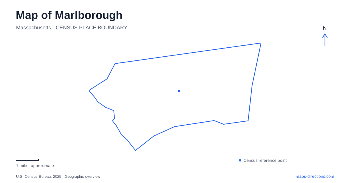
Street tiles load from OpenStreetMap when opened. The blue line shows the 2025 Census boundary.
- State
- Massachusetts
- Population · July 2025
- 42,772
- Land area
- 20.9 sq mi
- Water area
- 1.2 sq mi
Marlborough's landscape combines an industrial center, former railway corridors, protected water, and wooded slopes. Main Street helps locate the commercial core, but the city's history also extends into the factory streets north and south of it. Beyond the center, Lake Williams and Ghiloni Park introduce two very different kinds of open space. Reading these places together explains why a compact downtown walk, a rail-trail outing, and a forest visit follow different patterns through the same community.
Shoes, storefronts, and the railway streets
The historical society traces local shoe manufacturing to Joseph Boyd's work at his father's house on Maple Street in 1835. The business soon expanded to Main Street, and many other manufacturers followed. By the end of the nineteenth century, commercial blocks had filled the stretch between Bolton and Mechanic Streets, sometimes replacing former shoe factories. Manufacturing itself increasingly occupied plants north and south of Main Street, close to railway tracks and sidings.
This movement matters when reading the center of Marlborough. The shopping street and the industrial district were connected, but their buildings served different purposes. Main Street became more thoroughly commercial while nearby streets accommodated production, storage, and transport. Looking beyond the most prominent storefronts helps reveal the wider working landscape that supported them. The historical society's account also identifies coal, lumber, and machine businesses near rail facilities, showing how the shoe industry depended on a network of suppliers.
A library site tied to industrial philanthropy
The public library's location at Bates Avenue and West Main Street supplies another connection to that economy. In 1902, shoe manufacturers S. H. Howe and John A. Frye donated the two lots selected for the library. The site therefore records a civic investment made possible by local manufacturing wealth. Howe also became the city's first mayor in 1890, linking an industrial career to municipal leadership.
For a historical walk, this is a useful counterpoint to the factory streets. Production buildings show where wealth was generated, while the library site shows one way it was redirected into public institutions. These are different elements of the same urban story, and the street locations make that relationship visible without requiring every original building to survive unchanged.
The Assabet corridor as a different route through town
The Assabet River Rail Trail reuses an old railroad line. The municipal recreation listing identifies its local access at Lincoln and Highland Streets, while the city trail map also marks parking approaches from Hudson Street. The trail continues toward Hudson, creating a route shaped by railway alignment rather than the turns of neighborhood streets.
That makes it a distinctive way to explore Marlborough. A former rail corridor can connect places that a driver would approach by several separate roads. The local map is useful for recognizing where the trail meets streets and where access points sit relative to the downtown area. Its regional name should not be read as a promise that every portion of the wider planned route is continuous; the established local segment has its own clear geography and destinations.
Lake Williams and the protected shoreline
Lake Williams offers a 1.5-mile trail loop with woodland, wetland crossings, and a floating boardwalk slightly longer than half a mile. The combination lets walkers experience enclosed woodland and broad water views on the same outing. The city's directions identify access from Lizotte Drive behind the baseball field, reached from Williams Street.
The lake is also a backup water supply, which changes how the place is used. Fishing, boating, swimming, pets, and cycling are prohibited on this protected site. For a map-based visit to Marlborough, the boardwalk is therefore a walking destination beside drinking-water resources, rather than a launch area or general-purpose lakeside park. The water-protection role explains rules that would otherwise seem surprising for such an inviting open-water setting.
Woodland corridors at Ghiloni and Callahan
At Ghiloni Park off Concord Road, the interpretive nature loop connects with Old Hemenway Street, a dirt road closed to traffic, and adjoining state forest land. White and red pines, steep slopes, wetlands, and vernal pools characterize the woodland. Broadmeadow Brook helps form a wildlife corridor linking protected parcels. The park's recreation fields and track are only part of a landscape that extends into quieter forest.
Callahan State Park provides another open-space setting within and beyond Marlborough. The state describes more than 800 acres with fields, ponds, marked trails, and land retained for permitted agriculture. Its listed entrance address is on Edmands Road in Framingham, a reminder that this park crosses the scale of a single city's recreation system. Comparing Callahan's field-and-forest landscape with Ghiloni's brook corridor and Lake Williams' protected water makes the local outdoor map much more informative than a collection of interchangeable green areas.
Map and statistics: U.S. Census Bureau, 2025 Gazetteer, January 2025 generalized place boundaries and Vintage 2025 population estimates. Local references: Marlborough Historical Society; City of Marlborough; Marlborough Recreation Department; Massachusetts DCR. Article prepared by Maps & Directions.