Map of Maricopa
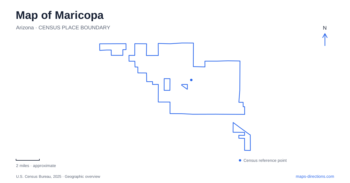
Street tiles load from OpenStreetMap when opened. The blue line shows the 2025 Census boundary.
- State
- Arizona
- Population · July 2025
- 78,362
- Land area
- 42.5 sq mi
- Water area
- 0.1 sq mi
Maricopa has an unusual geographic story: the community's name survived several changes of location. Water, stagecoach routes, and railroad junctions each influenced where settlement took hold. Those changes still help explain the modern city, where the railway corridor, John Wayne Parkway, and newer civic destinations provide different reference points. A useful map should reveal those relationships as well as the large recreation grounds and neighborhood roads that now serve daily life.
A settlement that followed transportation
The earliest community stood near the southern bank of the Gila River, where watering places supported travelers crossing the desert. Known as Maricopa Wells, it became an important stagecoach relay and trading location during the nineteenth century. The San Antonio and San Diego Mail Line and later the Butterfield Overland Mail used the site, making its water supply part of a wider transportation network.
In 1879, the post office and telegraph office moved about eight miles south to meet the Southern Pacific Railroad. That settlement, called Maricopaville, developed rapidly but did not become the intended two-railroad junction. A final move roughly three miles east brought the community to a junction of the Southern Pacific and the railroad connecting toward Phoenix. The sequence explains why historical accounts can refer to places some distance from today's familiar center while discussing the same community.
It also provides a useful distinction between a historical site and a modern destination. The original Wells landscape belongs to the river and stagecoach story; the later town developed around railway connections. Their relationship is a movement across the desert, rather than a single downtown expanding evenly outward from its first buildings.
The railway crossing and the Heritage District
John Wayne Parkway carries State Route 347 through Maricopa. In 2019, traffic shifted onto a new alignment and overpass between Hathaway Avenue and Desert Cedars Drive. The bridge carries the road over Union Pacific tracks, replacing the former street-level crossing. On a map, this creates a clear difference between the main through route and the lower streets associated with the historic railroad area.
Mike Ingram Heritage Park gives that railroad story a public setting. The grounds include the museum and visitor center, a timeline walk, and the Silver Horizon railcar. The park's railway theme connects these pieces of local interpretation with space for community gatherings. It is a useful place to start when the purpose of a visit is understanding how the settlement developed, rather than simply passing through on the highway.
The Silver Horizon itself has changed locations. It arrived locally in 2000, briefly served as an Amtrak ticket station from 2001 to 2003, and moved during the 2019 overpass project. The city identifies its newer site near Plainview Street beside the highway toward Casa Grande. That history accounts for older photographs showing the railcar in a different relationship to John Wayne Parkway. The object is historic, but its position within the street network belongs to a later part of that history.
Copper Sky's separate outdoor and indoor spaces
Copper Sky is one of the principal recreation destinations in Maricopa. The complex combines a multigenerational center, aquatic facilities, and a 98-acre regional park. Its Martin Luther King Jr. Boulevard location gathers activities that range from indoor exercise to field sports and lakeside recreation. The city opened the center in 2014, marking a different stage of community development from the older railway district.
The regional park includes a five-acre fishing lake, an event amphitheater and lawn, playgrounds, shaded ramadas, sports fields, and a skate plaza. The lake belongs to Arizona's Community Fishing Program. It should be understood as a managed fishing water rather than an extension of the aquatic center: swimming, wading, and boating are prohibited in the lake under the state's posted rules.
That distinction helps make sense of the complex's layout. A swim visit belongs with the aquatic facilities, a field reservation with the sports grounds, and a fishing outing with the lake. These activities share a recreation district but use different parts of the site. A close view of the park map is more informative here than a route ending at the general Copper Sky label.
Porter Road and the civic destinations
Pacana Park at 19000 North Porter Road offers a more compact recreation setting. Its roughly 28 acres include a fishing lake, a surrounding walking path, multipurpose fields, softball fields, and a dog park. The path and green spaces create a different scale of outing from Copper Sky's larger regional grounds, while keeping water and outdoor activity at the center of the park.
The Library and Cultural Center stands at 18160 North Maya Angelou Drive. Alongside books and public computers, it provides study and meeting rooms and a contract postal unit. This makes it a practical civic landmark with several everyday functions. Taken together, the railroad heritage area, recreation complexes, and library show how Maricopa's map has developed from transport-dependent settlements into a city with multiple public centers, each serving a distinct purpose.
Map and statistics: U.S. Census Bureau, 2025 Gazetteer, January 2025 generalized place boundaries and Vintage 2025 population estimates. Local references: City of Maricopa; Arizona Department of Transportation; Arizona Game and Fish Department. Article prepared by Maps & Directions.