Map of Margate
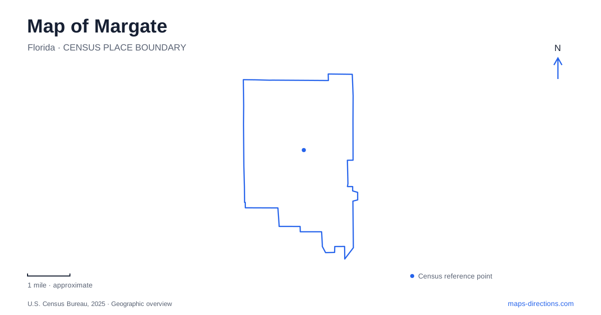
Street tiles load from OpenStreetMap when opened. The blue line shows the 2025 Census boundary.
- State
- Florida
- Population · July 2025
- 60,070
- Land area
- 8.8 sq mi
- Water area
- 0.3 sq mi
Margate's main commercial corridors are State Road 7 and Atlantic Boulevard, but many everyday destinations lie along other roads within the city. Royal Palm Boulevard organizes several parks, Banks Road identifies the principal sports complex, and West River Drive leads to a small canal-side public space. This combination gives the local map a clear structure: large commercial routes establish the wider setting, while parks and water access reveal the neighborhood geography within it.
Begin with the two commercial corridors
The city's redevelopment plan identifies State Road 7 and Atlantic Boulevard as its principal commercial corridors. They provide a useful starting framework because many regional references and development descriptions are organized around them. Their intersection belongs to that commercial setting, while adjacent streets lead into residential and recreation areas.
A map of Margate should also retain Rock Island Road, Banks Road, and Royal Palm Boulevard. The municipal parks map uses these roads to place facilities throughout the community, showing that the major commercial intersection is not the location of every public destination. This is a city where street corridors explain the distribution of places more clearly than the idea of one traditional town square.
The distinction is useful when comparing a redevelopment map with a visitor map. A proposed town-center diagram describes a planning area and possible future changes. Existing parks and recreation facilities have established addresses elsewhere. Reading the commercial framework first, then adding the actual destinations, keeps those different kinds of information in their proper geographic context.
Royal Palm Boulevard contains several kinds of park
Royal Palm Park and Calypso Cove share the address at 6200 Royal Palm Boulevard. The aquatic facility is within the park, rather than a separate destination somewhere else in the city. Its pools include a lap-swimming area, a slide-related plunge pool, and a zero-depth activity pool. The surrounding park adds picnic space, basketball, play facilities, and a fishing dock.
That shared setting explains why both names appear in local descriptions. A pool visit concerns one facility inside a larger recreation ground; a pavilion gathering or playground outing may use the park without centering on the aquatic area. The map should preserve that relationship rather than presenting the two names as competing locations.
Kaye Stevens Park is farther along the same boulevard at 5825 Royal Palm. It offers a walking trail, fishing area, picnic space, and swinging benches. For visitors exploring Margate, the two parks show how one road can connect different recreation environments. Royal Palm Park concentrates a range of active facilities, while the Kaye Stevens setting emphasizes a smaller waterside outing. The common road name provides continuity without making the experiences identical.
Banks Road and Rock Island recreation
The sports complex at 1695 Banks Road is another substantial destination. Baseball facilities, a covered sports field, play space, pavilions, and a path with exercise stations create several separate activity areas within the grounds. A field-based visit belongs to a different part of that layout from a walk around the path or a gathering under a pavilion.
Firefighters Park is on Rock Island Road. Its recreation mix includes courts, a dog park, play facilities, and a game room, making it distinct from both the Banks Road complex and the Royal Palm aquatic setting. These facilities give Margate a distributed network of recreation destinations rather than one central park that contains every municipal activity.
Keeping Banks and Rock Island visible on the map is therefore useful for more than reaching one address. The roads identify two different local recreation districts. When comparing activities, the park name and road together provide a concrete way to understand where each one belongs, while the internal grounds map can explain the particular field, court, or building.
Small parks reveal the freshwater landscape
Legacy Park is on West River Drive and includes a boat ramp, historical plaques, benches, and a covered pavilion. Broward County's boating guide identifies its water access as freshwater access to the C-14 Canal. That is a valuable geographic distinction: the launch belongs to the inland canal system, not to an ocean beach or an open coastal inlet.
Lemon Tree Lake Park, on Lakeside Drive, supplies another small water-oriented destination with a pavilion and boat launch. These modest public spaces show a different side of the city from the commercial corridors and large sports grounds. Water appears within the neighborhood landscape through canals and lakes, with specific public places providing access.
A useful Margate overview brings these pieces together. State Road 7 and Atlantic Boulevard establish the commercial framework; Royal Palm, Banks, and Rock Island locate major recreation settings; and West River Drive identifies a smaller canal-side destination. This combination explains the city's geography through roads and actual public places, giving each stop a context beyond its name.
Map and statistics: U.S. Census Bureau, 2025 Gazetteer, January 2025 generalized place boundaries and Vintage 2025 population estimates. Local references: City of Margate; Broward County. Article prepared by Maps & Directions.