Map of Maplewood
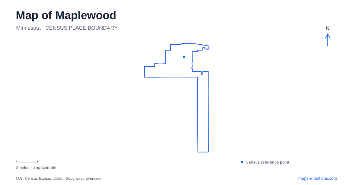
Street tiles load from OpenStreetMap when opened. The blue line shows the 2025 Census boundary.
- State
- Minnesota
- Population · July 2025
- 40,717
- Land area
- 17.0 sq mi
- Water area
- 1.0 sq mi
Maplewood preserves several different versions of its past within today's streets and open spaces. At Frost Avenue and English Street, a former industrial settlement has left a railway landscape beneath a restored savanna. On County Road D, farm buildings occupy a preservation site separate from their original fields. Farther south, Fish Creek's bluff trails reveal a landscape shaped by the Mississippi River corridor. These places give the city a history that extends well beyond suburban development.
Gladstone beneath the modern neighborhood
English Street and Frost Avenue formed the center of Gladstone, a late nineteenth-century settlement built around manufacturing and railroad maintenance. The St. Paul Plow Works and the St. Paul and Duluth Railroad's shops supplied its industrial foundations. The settlement declined as fires, business failures, and the closure of the railroad shops reduced employment; its post office closed in 1923.
The neighborhood later became part of Maplewood when the new municipality formed in 1957. Calling Gladstone a ghost town describes the disappearance of its original industrial ambitions, rather than an empty settlement that can be visited intact. Homes and subsequent development continued the area's life after the factories and railway shops lost their former roles.
The city's broader transportation history also helps explain the surrounding map. A stagecoach route once ran north from St. Paul along Edgerton and Desoto streets. The railroad completed in 1870 followed the corridor now associated with the Bruce Vento Trail. Different generations of movement therefore survive as streets, trails, and historic industrial sites within the same urban landscape.
A savanna with railway foundations
Gladstone Savanna occupies 23 acres at the southwest corner of Frost and English. The former railroad complex included a roundhouse and repair shops; the last building disappeared by 1979. Today's landscape includes prairie restoration, mature trees, paved trails, and interpretive signs explaining both natural and industrial history.
Limestone seating marks the areas where the roundhouse and well once stood. Archaeological investigations in 2012 used ground-penetrating radar and examined visible remains, documenting foundations and debris below or near the surface. A green area on the map thus contains a substantial record of earlier construction, even though the buildings themselves are gone.
For visitors exploring Maplewood on foot, the preserve has entrances on Frost, English, and at Frank and Frisbee. Parking bays lie along Frost rather than in a dedicated lot. This arrangement fits the site's neighborhood setting: paths enter an open space embedded among ordinary streets, while interpretation makes its less visible industrial structure understandable.
The farm that moved from White Bear Avenue
The Bruentrup farm began in 1891 on land along White Bear Avenue. Four generations lived there, and the holding eventually expanded from 40 to 175 acres. As surrounding development advanced, parts of the property were sold, including land that became the shopping mall site in 1974.
The surviving buildings were moved in 1999 to city-owned land on County Road D. The relocation included the house, barn, granary, machine shed, and metal foundry building, together with farming artifacts. They occupy a 2.5-acre heritage site beside a larger prairie preserve.
This history creates an important distinction on a map of Maplewood: the present heritage farm preserves buildings and agricultural evidence, but its address does not identify the center of the original working farm. White Bear Avenue and County Road D tell different chapters of the same story. The move allowed the collection of buildings to remain together after redevelopment overtook the original property.
Fish Creek's bluff and the creek below
Fish Creek Natural Area combines a 70-acre city preserve with adjacent Ramsey County open space of 142 acres. Its paved trail climbs through woodland and restored prairie to the bluff top, where views open toward the western horizon. The main loop measures just under a mile and crosses both city and county land.
The creek itself lies on county property. The city's description explicitly distinguishes the bluff walk from creek access: water can be glimpsed along the approach down Henry Lane, but the site does not provide a maintained public access point to the creek. A proposed rustic creekside trail remains described as a future improvement, so it should not be confused with the established paved loop.
The preserve also belongs to the Mississippi River flyway, connecting its local woodland and prairie habitats to a much larger movement corridor for birds. Alongside the railway remnants and relocated farm, this bluff landscape broadens the understanding of Maplewood. The city's open spaces preserve natural systems and evidence of earlier land use, each requiring a different reading of what appears on the map.
Map and statistics: U.S. Census Bureau, 2025 Gazetteer, January 2025 generalized place boundaries and Vintage 2025 population estimates. Local references: City of Maplewood. Article prepared by Maps & Directions.