Map of Maple Grove
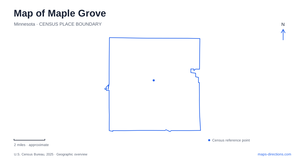
Street tiles load from OpenStreetMap when opened. The blue line shows the 2025 Census boundary.
- State
- Minnesota
- Population · July 2025
- 73,893
- Land area
- 32.6 sq mi
- Water area
- 2.5 sq mi
Maple Grove brings an urban town center and an extensive outdoor recreation network into the same municipal landscape. Around Arbor Lakes, civic buildings, shops, performance space, and waterside paths sit within a developed district. Elsewhere, Fish Lake and Elm Creek provide larger settings for water recreation, woodland trails, and environmental education. The distinction between these landscapes matters: a lake beside the town center serves a different purpose from a regional park with a beach or boat launch.
Arbor Lakes as a civic district
The development history of Maple Grove places Arbor Lakes within its gravel mining area, where extraction land has been transformed into a town center. Government offices, the library, community facilities, housing, and commercial development form part of that change. Main Street is therefore more than a shopping address. It belongs to a deliberately assembled civic and commercial district whose public spaces help connect individual buildings.
Town Green is at 7991 Main Street, between the government center and the library. Its bandshell and terraced seating establish a clear focus for performances, while trails and lakeside seating support quieter visits. The setting makes it possible to combine a civic errand, a library stop, or an outdoor performance within the same general district, rather than treating every activity as a separate drive across the city.
The shoreline here is for enjoying the view and walking nearby. The city does not provide lake access or allow shoreline fishing at Town Green. That distinction is useful in a community with several other water-oriented parks: the presence of blue space on the map does not make every shoreline a swimming or launching destination.
Central Park and its two very different loops
Central Park occupies 44 acres at 12000 Central Park Way. Its landscaped grounds include gardens, a large lawn, a playground, and the Phenow Pavilion. A refrigerated skating loop measures 810 feet long and 20 feet wide, creating a winter recreation feature designed for leisure skating. Its curved route through the park differs from the rectangular ice rink that many visitors may imagine from the word skating.
The walking circuit is a separate feature. On the park's north side, a 0.83-mile loop circles a storm pond and connects with trails around Arbor Lake, North Arbor Lake, and West Arbor Lake. A tunnel beneath Weaver Lake Road near Jonquil Lane extends access toward Maple Lakes Park. These named connections reveal a linked landscape rather than a collection of unrelated green patches.
For Maple Grove walkers, the distinction between the short skating loop, the pond circuit, and the wider trail network helps set the scale of an outing. The city prohibits fishing and swimming in the storm pond and the three nearby Arbor lakes. Their role in this area is principally visual, ecological, and recreational from the surrounding land.
Fish Lake and the regional trail network
Fish Lake Regional Park is at 14900 Bass Lake Road. Three Rivers Park District describes a wooded lakeside setting with a beach, boating opportunities, picnic areas, and a pavilion. Here, water recreation is a central activity, making it a useful contrast with the more restricted town-center shorelines.
The trails also respond to varied terrain. A paved route circles the central hill, passes the marsh, and returns toward the beach area. A shorter, flat peninsula route provides lake views and rest stops, while turf paths enter wooded and marshy areas. Connections to the Medicine Lake Regional Trail extend the possibilities beyond an outing contained entirely within the park. A trail map therefore reveals hills, wetland edges, and connecting routes that are less obvious from a road map alone.
Elm Creek's larger landscape
Elm Creek Park Reserve gives Maple Grove access to a much broader outdoor setting. At approximately 4,900 acres, it is the largest reserve in the Three Rivers system. Its paved trails pass through woods, wetlands, and former farm fields, with connections to both the Rush Creek and Medicine Lake regional trails. The reserve also contains distinct recreation areas for activities such as swimming and winter sports.
Eastman Nature Center lies within this larger reserve but has a Dayton address at 13351 Elm Creek Road. It occupies the sugar maple floodplain forest of Rush Creek, with a floating boardwalk, interpretive displays, and hiking routes. This is an important geographic relationship: the reserve extends beyond one municipal label, and its nature center has a different setting from the main recreation facilities reached from James Deane Parkway.
A map of Maple Grove becomes more useful when these contrasts remain visible. Arbor Lakes concentrates urban public life, Central Park links landscaped recreation spaces, Fish Lake emphasizes its shoreline, and Elm Creek opens into a regional natural landscape. Together they explain how the community's town-center development and outdoor network fit alongside one another.
Map and statistics: U.S. Census Bureau, 2025 Gazetteer, January 2025 generalized place boundaries and Vintage 2025 population estimates. Local references: City of Maple Grove; Three Rivers Park District. Article prepared by Maps & Directions.